
Choropleth maps are interlocking boundary shapes that are coloured to show a visualisation of statistics (“heat” density) or other thematic patterns.
Our choropleth system is focused on UK administrative boundary map bases into which clients can feed in related data.
- You can rapidly apply auto-colouring based on numeric or text category values
- You can import a spreadsheet and / or edit data directly in a table in the browser
- Your data will dynamically feed to popups or an info panel for each boundary
Administrative boundary base maps currently available:
- UK Ceremonial Counties (popular with marketing people)
- UK Counties and Unitary Authorities (often used by public bodies)
- UK Local Authorities (used by many public bodies and for census data)
- UK Parliamentary Constituencies (used in electoral / MRP polling data)
- UK Postcode Districts (mainly marketing data)
- UK Postcode Sectors (mainly marketing data)
(Contact us if you’re working with an administrative dataset not listed above)
Choropleth / heat map demos
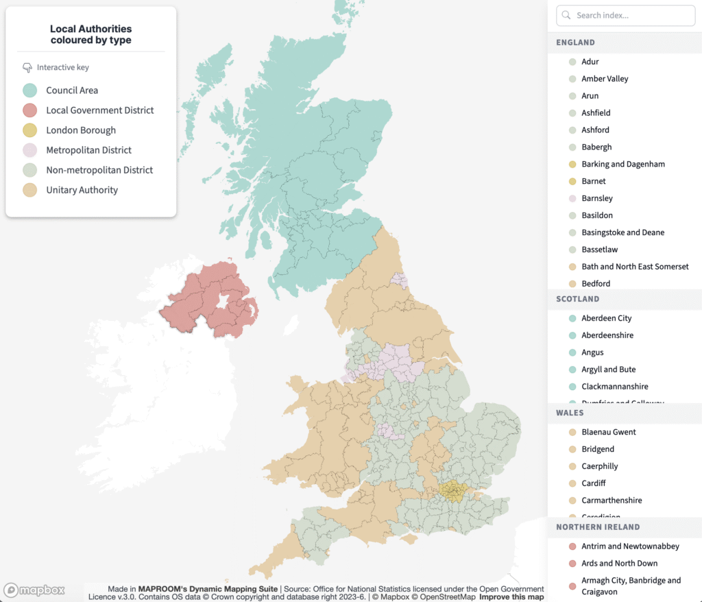
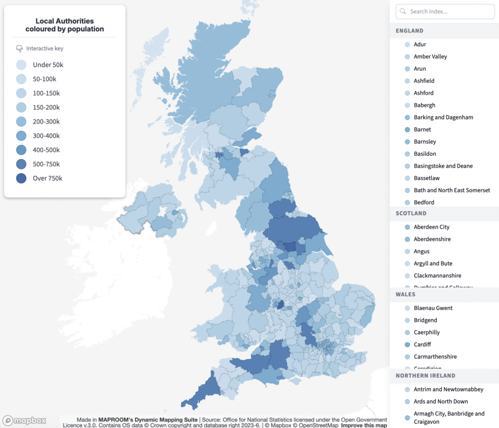
Tap on the maps below to open full size. Essentially they are the same map with the same dataset, but the top one is coloured by category terms and the bottom one is coloured by population figures.
6 steps tutorial
1 Check your boundaries
To create a new choropleth / heat map, click on the relevant administrative boundaries dataset in the choropleth / heat maps area. This will open a window with the map base on the left and an index and data input area on the right.
Notice how hovering over the index labels highlights the different boundaries on the map, and if you click the index row, the map will zoom to that boundary area. As you zoom in deeper to the map, you will see that extra place names, roads and other details come into view, which helps with understanding the geographical context of the administrative boundaries.
We recommend that you check that your dataset matches the index at this point, as there is often confusion and overlap between the different UK, local and regional administrative geographies. For example, Cumbria is a ceremonial county and until 2023 was also the name of a local authority and a non-metropolitan county, but for the purposes of local government it is now split into the unitary authorities of Cumberland, and Westmorland and Furness.