
It is not possible to export dynamic maps as vector artwork (they are viewports of geospatial data, not downloadable files), but you can capture static screenshots of any part of a dynamic map at any zoom level and output to basic PDF or print on an A4 or A3 office printer.
Click Print / PDF on the top bar. This will open the Live View with opportunity to position the map then click to open your computer’s default print / PDF settings. The view and options here will vary according to your equipment. On a PC you will likely have an option for Microsoft Print to PDF. On a Mac it will likely be Destination: Save as PDF or your printer name.
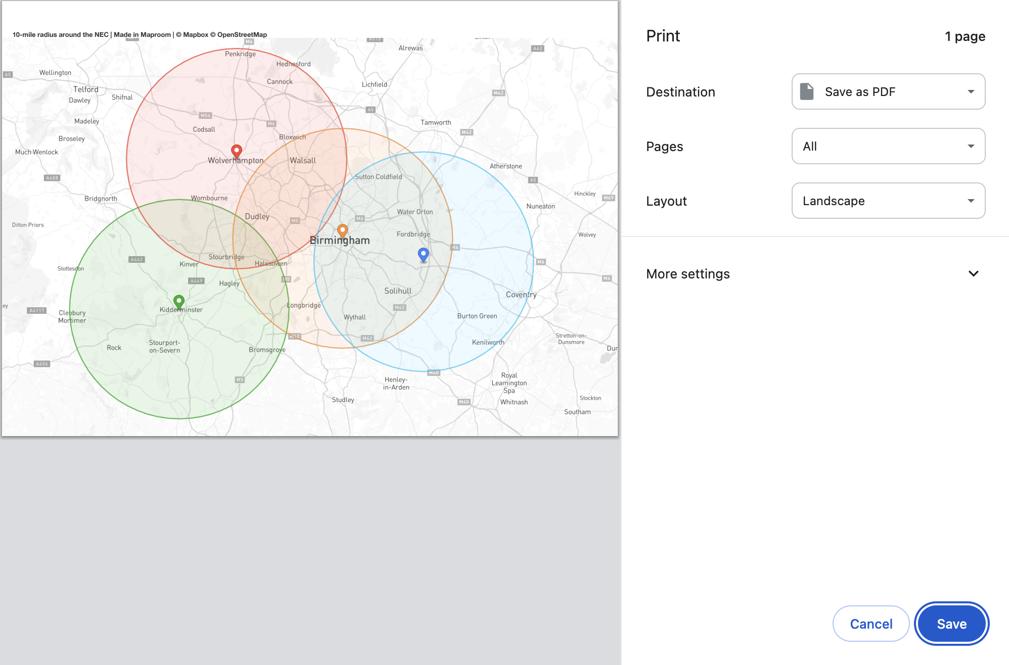
Example of screen PDF output
NOTE: Screen prints and PDFs made from dynamic maps are fine for reference, reports, Powerpoints, small posters etc, but they are not licensed for commercial use and they will not be high enough resolution for large poster printing. Please contact us if you want a high-resolution static version of your dynamic map – we can export your dynamically plotted data to one of our vector art map bases.
See also Access Control and Going Public.