
As you build up your postcode selections and key colours with labels, this data automatically feeds to popups in the Live View. You can add to this popup content.

Click Edit Popups on the top bar of the edit screen. This will open a window showing your existing key items in a table.
The population and household calculations are on by default – uncheck this box if not useful for you.
Additional content types

- Text – you can have multiple text fields and give them separate labels which will show up as subheadings in the popup, e.g. Description, Name, Branch, Target
- Link Button URL – will automatically be shown as a link button in the popup
- Email – opens an email send to window
- Image – upload or select from your image library
Enter your data into the table cells. You can reorder columns by dragging.

Once you’ve added some content to the table, refresh your Live View to load that data to your enhanced popups.
Popup types
There are several types of popups on the Live View of a Quick Select Postcodes map:
Key item popup
When the user clicks/taps an interactive key item, the map zooms to the aggregated group selections for that key item, a modal at the bottom lists the individual postcodes within the group, and the central popup shows the aggregated household and population totals plus any extra data including text, links and images that you feed in.

Individual postcode popup
When the user clicks, taps or hovers over an individual postcode on the map or in the modal, the popup is specific to that postcode.

Point location popups
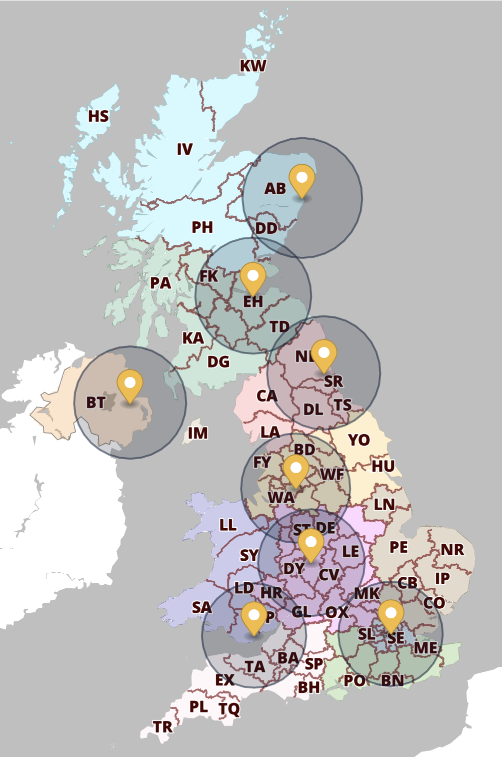
For postcode maps that include an overlay of point locations, their popups fire when the marker or listing is clicked or tapped. The content for this type of popup is edited in the Locations Plotter, not the Quick Select Postcodes screen.

Demo
The company / franchise postcode map demo contains the different popup types with dummy data.
Important to understand
Popups appear only in the Live View, not in the edit screen. This is because clicking the map in the editing interface is for setting colours rather than firing popups. This may be confusing at first when the two map versions look similar, but you will soon get used to the difference in interactivity between the edit screen and Live View.