Maproom

Dynamic Mapping Suite

  • about
  • news
  • contact
  • 0 items
Log in

How to use the dynamic mapping tools

  • Demos
  • Locations Plotter
    • Learn the basics in 5 minutes
    • Set a radius with auto-calculating population and household figures
    • Drawing lines and shapes
    • Display options
    • Set colour keys and text category filters
    • Bulk edit locations in a table
    • Import and export spreadsheet data
  • Overview of postcode mapping tools – FAQs
  • Quick Select Postcodes
    • Quick start tutorial
    • Edit your popups
    • Import and export postcode data
    • Add your company logo and refine the view settings
    • Add point markers and radii
  • Choropleth / Heat Maps
  • General Reference
    • Access control
    • Going public
    • Make static screen prints and PDFs
    • Duplicate or delete a map

How to use the Quick Select Postcodes system

Our popular Quick Select Postcodes system gives you an easy point-and-click interface for colouring and labelling postcodes at three levels: Areas, Districts and Sectors. It also has tools for importing and exporting spreadsheet data, interactive keys for your selections, population and households figures, and the possibility to overlay markers and radii.

3 Demos

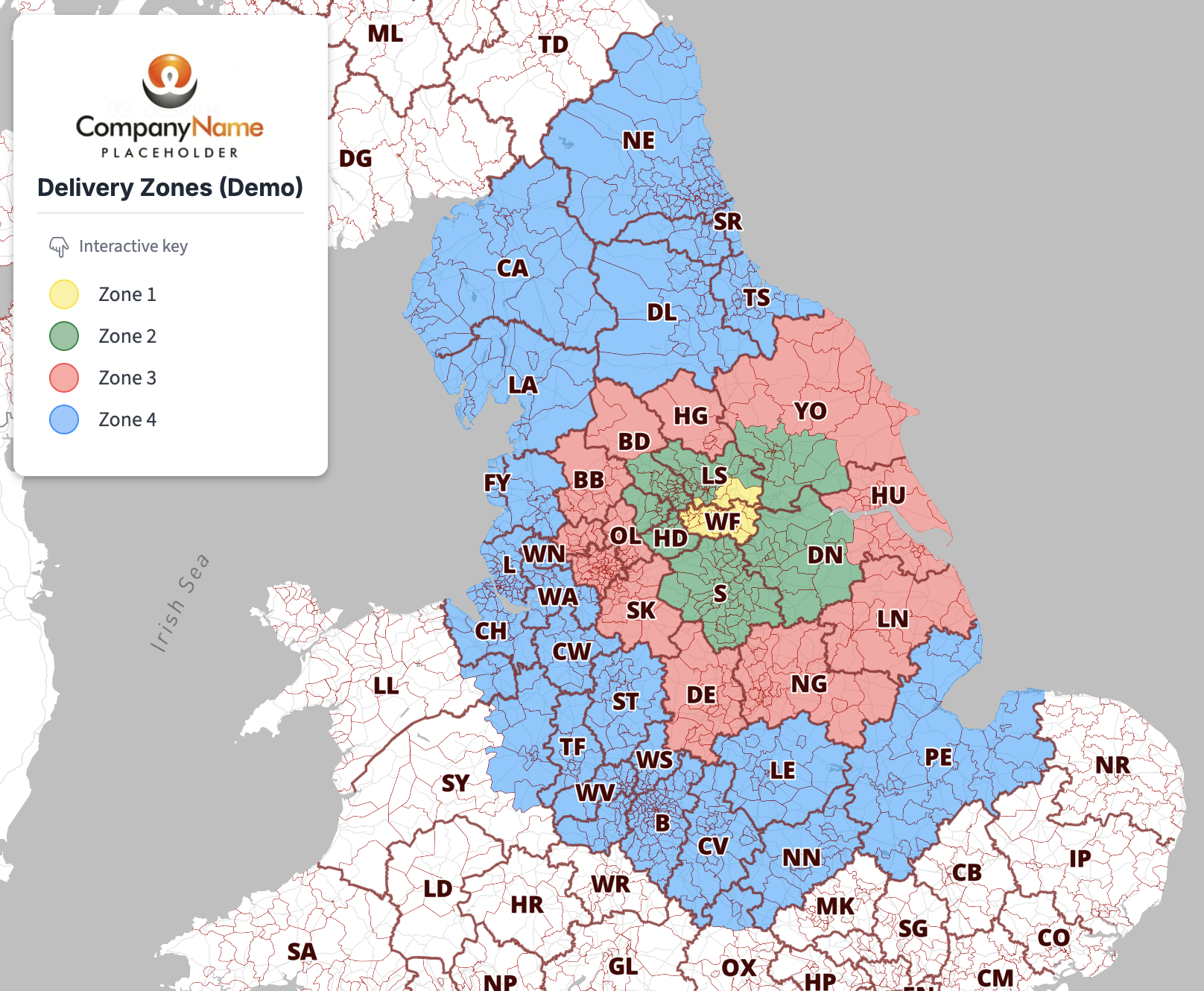
Delivery Zones demo displayed with Postcode District boundaries

Open

London Postcode Sectors demo

Open

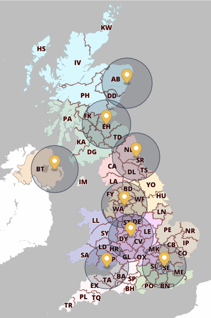
Franchise Postcode Areas demo with markers and 50-mile radii set in the Locations Plotter

Open

Quick start tutorial >

  • Standard royalty free terms for downloadable maps
  • How to edit the downloadable maps
  • Licensing terms for dynamic online maps
  • Refund, tax and pricing policies
  • How to cancel or change a subscription
  • Privacy & cookies

All content © Maproom at Blue Island Media · Award winning media projects