
Please log in with an active pass to access the dynamic mapping tools.
Not sure which tools to use? Click on the demos below to open full-size examples of dynamic map types and features.
Also see the overview of our postcode mapping tools.
Examples of maps built with the Locations Plotter
Plot location markers, radii, shapes and lines for anywhere in the world on a choice of base maps.
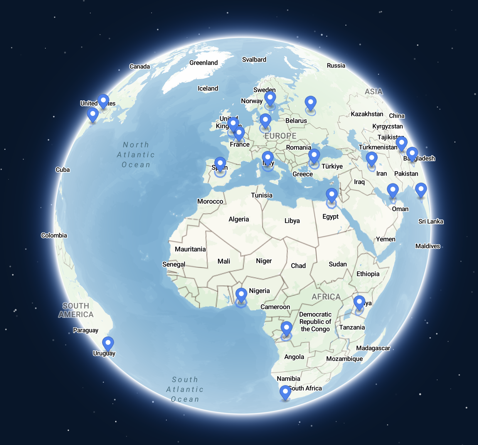
World cities with 100-mile radii on 3d base

Nuclear power plants with filters demo
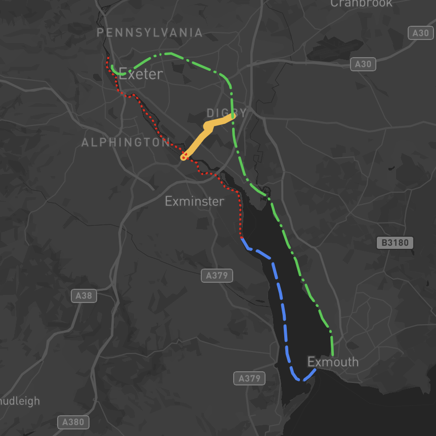
Lines demo on monochrome slate base
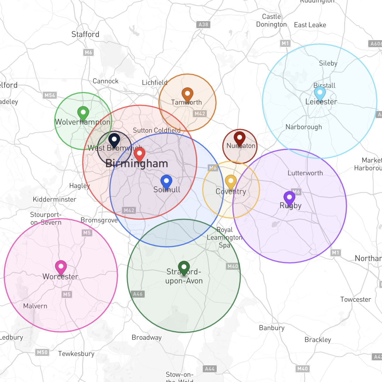
Radii with dynamic population, households and overlap calculations
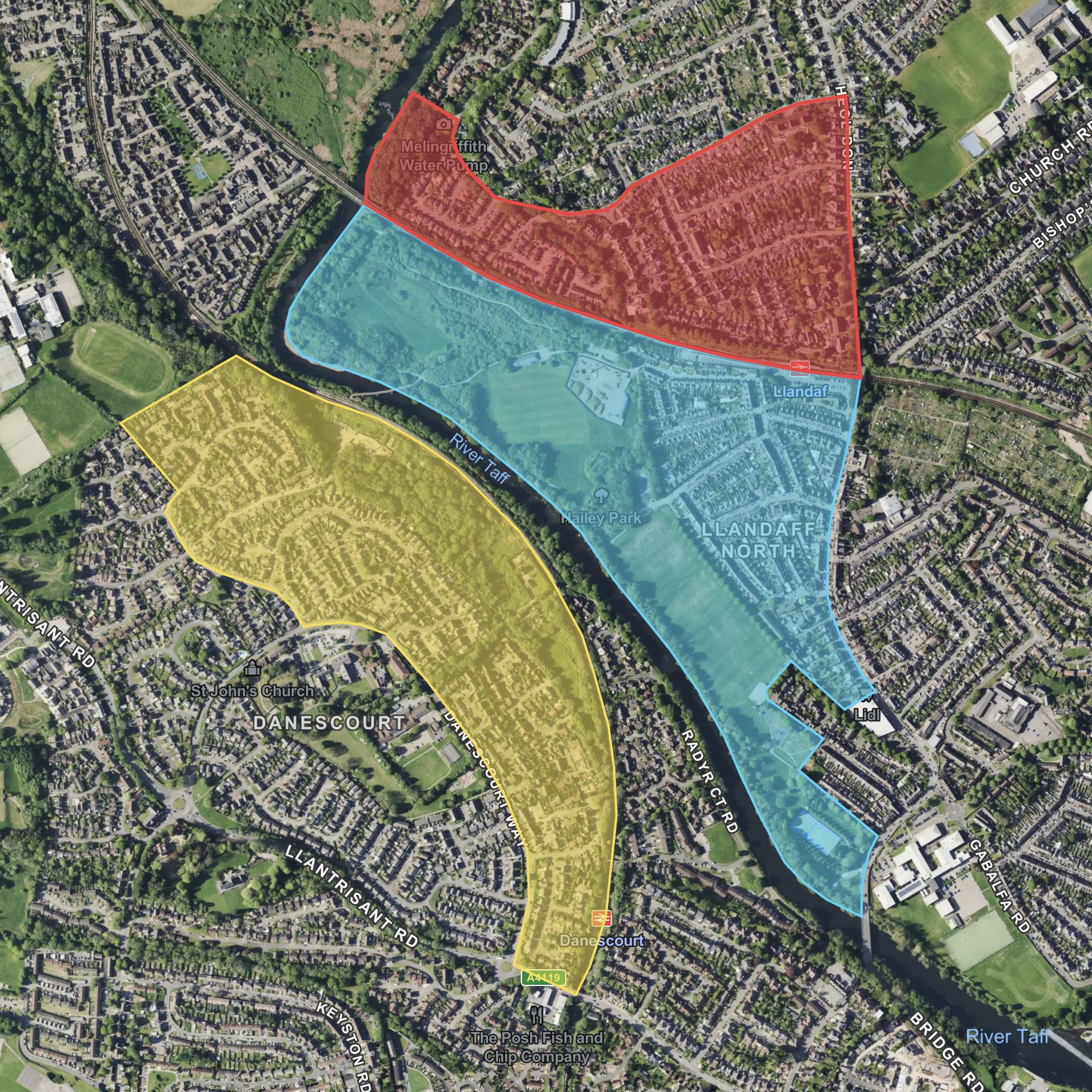
Polygons demo on satellite base with population and households calculations
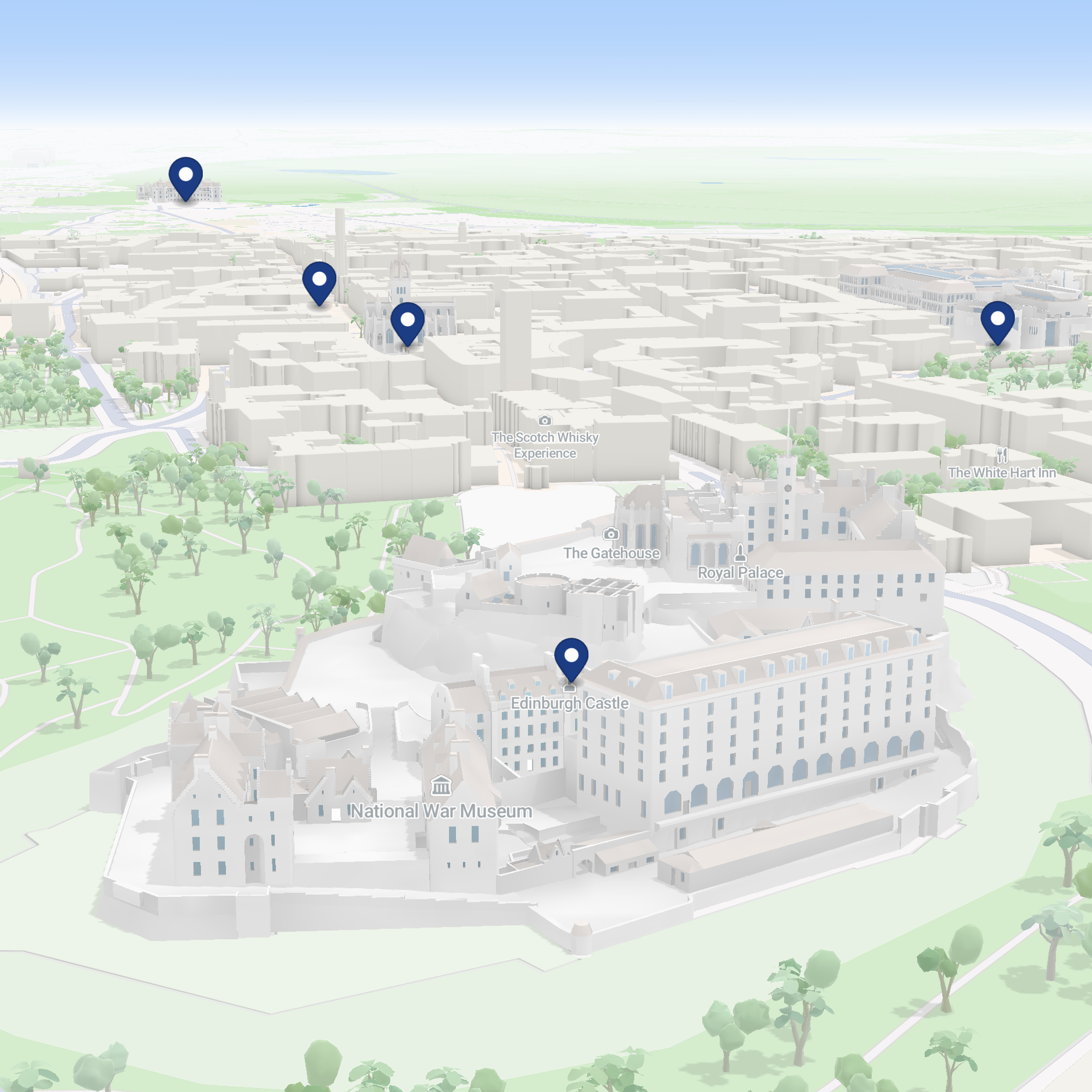
3d Edinburgh at 76° pitch
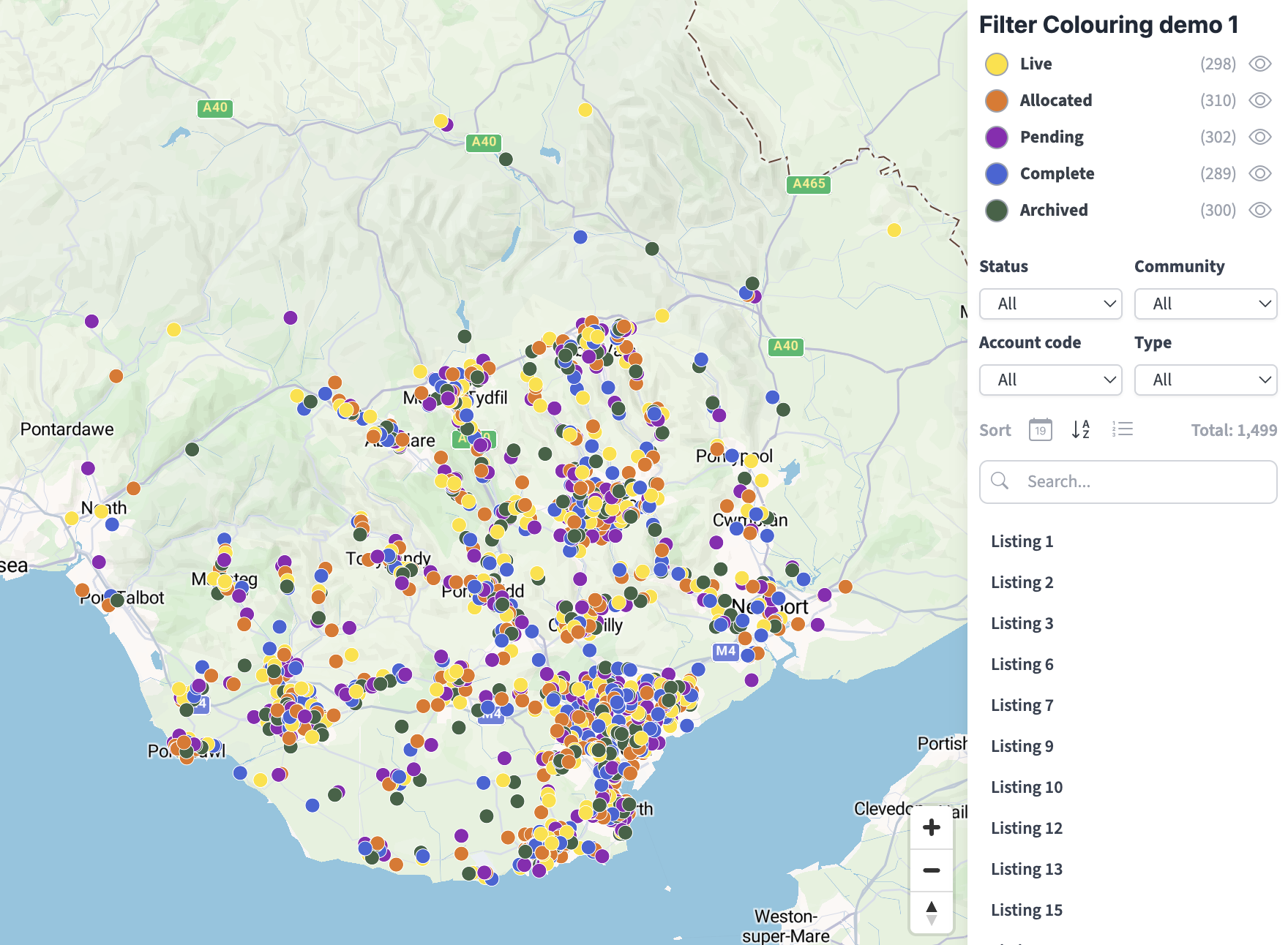
Cardiff postcodes with marketing data imported from spreadsheet

10,000+ postcodes styled as clusters on a UK Local Authorities base map
Examples of Quick Select Postcodes
These demos are built with our hugely popular point-and-click system specifically for colouring and labelling UK Postcode Areas, Districts and Sectors.
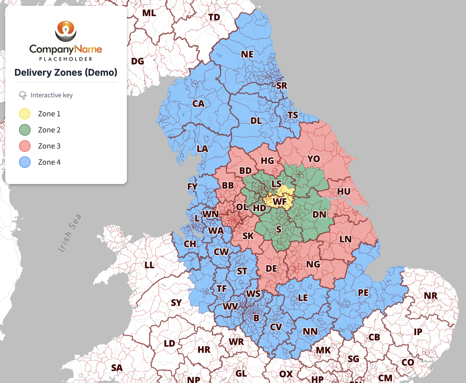
Delivery Zones demo displayed with Postcode District boundaries

London Postcode Sectors demo
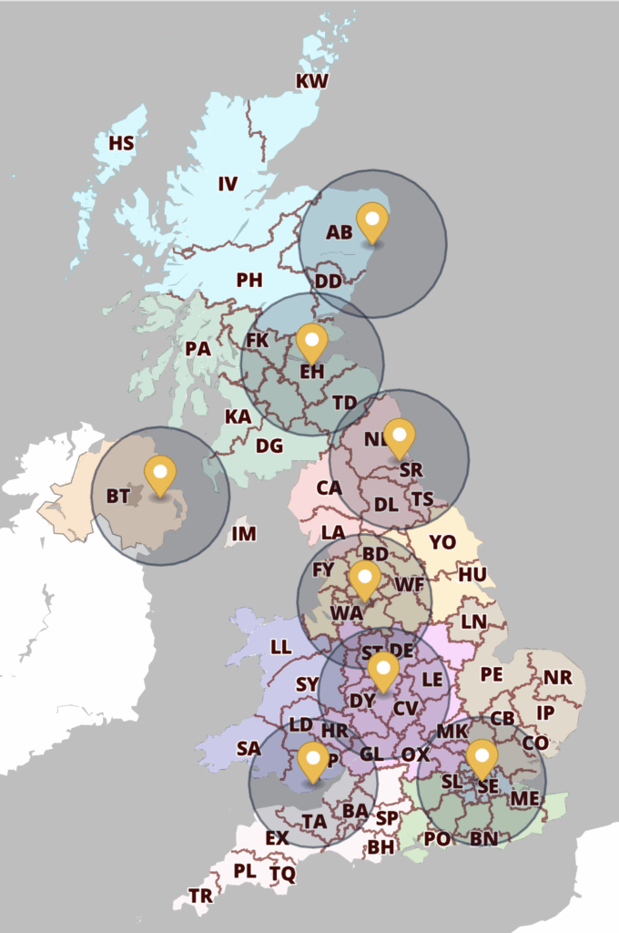
Franchise Postcode Areas demo with markers and 50-mile radii set in the Locations Plotter
Examples of choropleth / heat maps
Feed your data into administrative boundaries, and auto-colour instantly using numerical parameters or category terms

Heat map for UK Local Authorities dataset auto-coloured from column of numerical data (population)
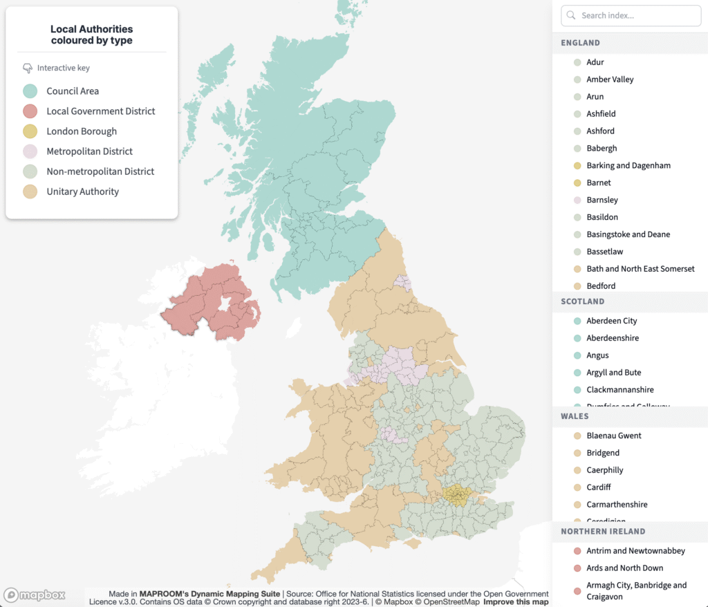
Thematic choropleth map for the same UK Local Authorities dataset switched to auto-colouring from category column