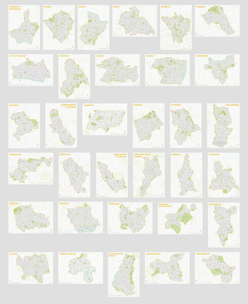
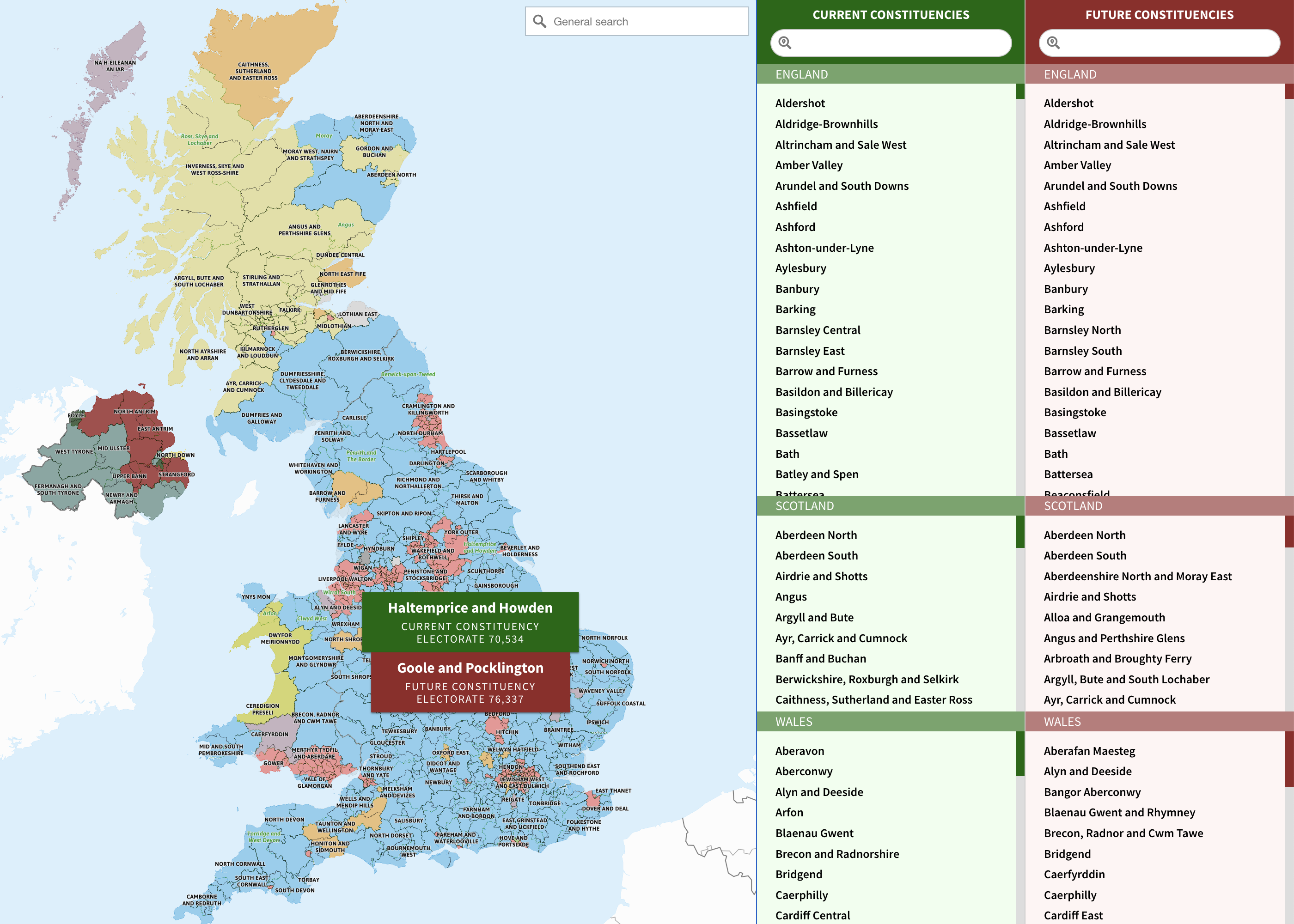
The Office for National Statistics has started to release data from the Census 2021. Below are some interactive England and Wales population maps that users can freely use on their own websites. ... Read more
A common need for businesses is to work out 360-degree areas of coverage around business locations. There is no need to get involved with tricky calculations, nor to fiddle round with rulers, string and compasses over a paper map! We have created a nifty radius plotter tool inside our Dynamic Mapping Suite. ... Read more
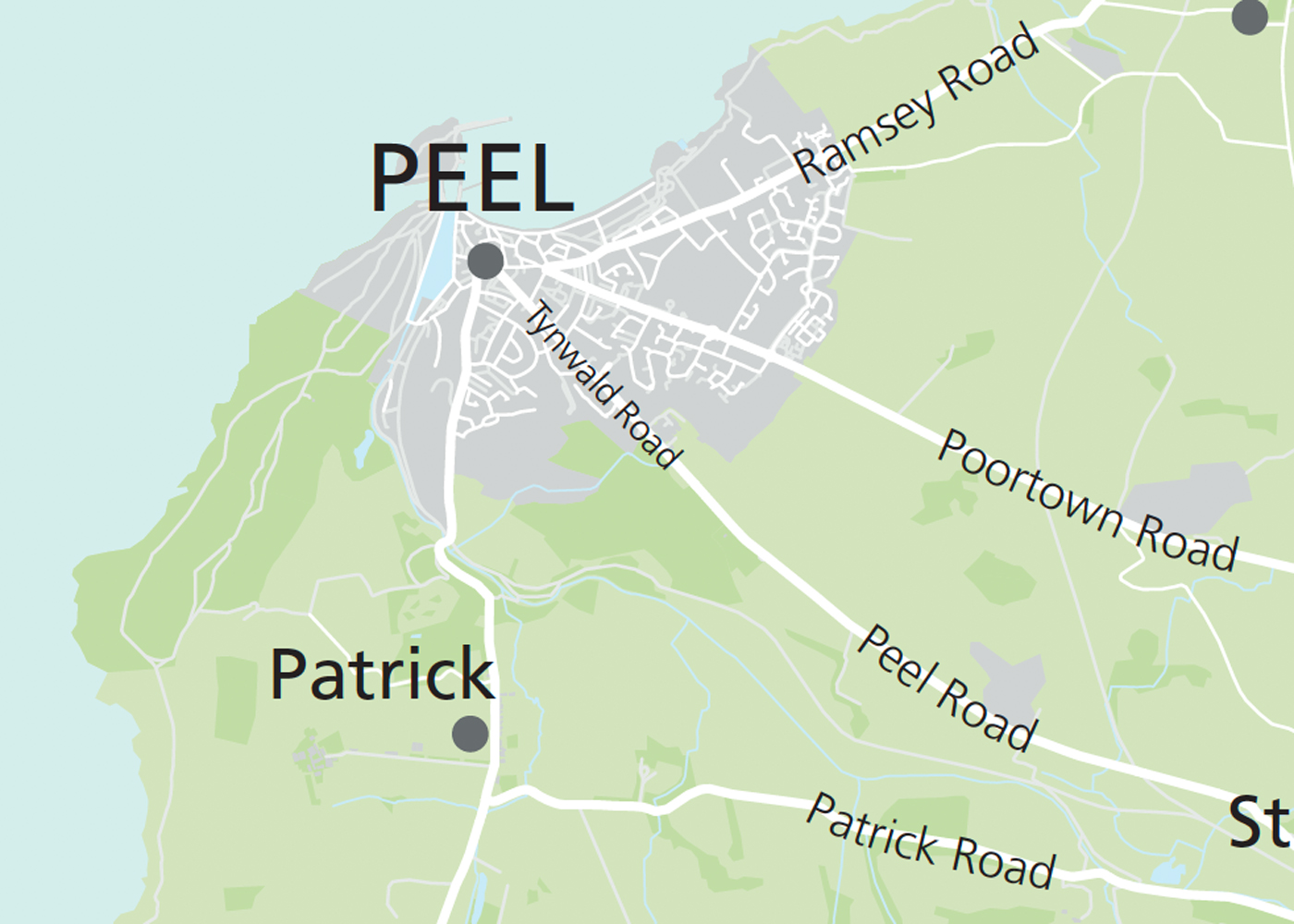
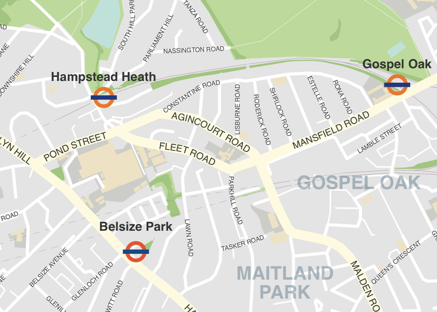
At Maproom we build most of our interactive web maps on a Mapbox base. We also sometimes use Google Maps as a base. Both systems have their merits and weaknesses; both charge fees for high usage; and both are in a constant state of development and competition with each other and the smaller players on the dynamic mapping scene. Here's a current comparison of Mapbox and Google Maps. SystemProsConsMapbox - used to power reference maps in our Dynamic Mapping SuiteFar more customisable than ... Read more
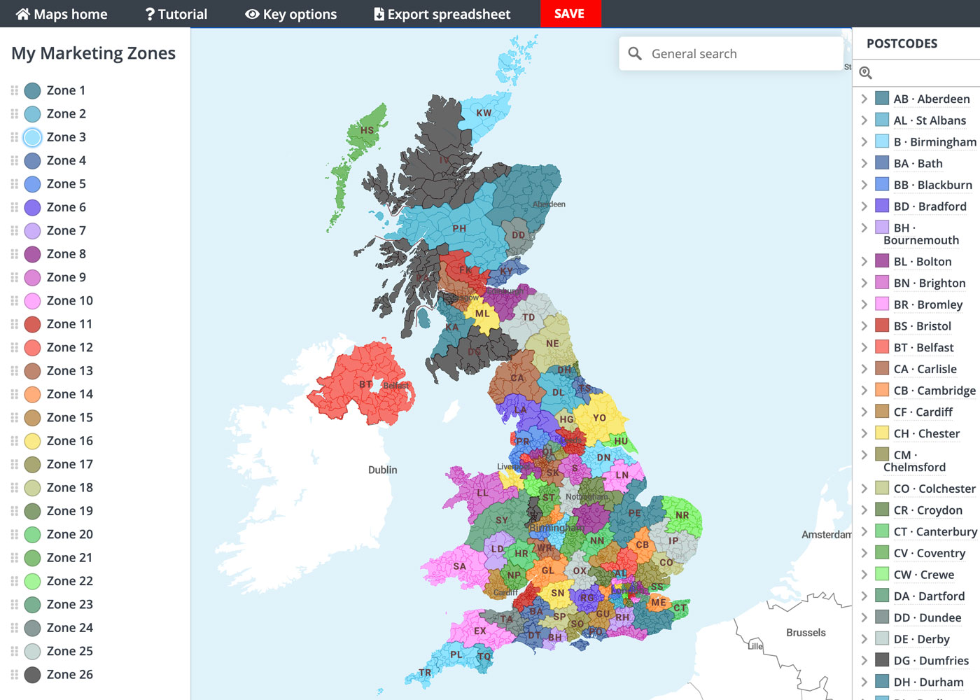
If we hadn't been so busy with the pandemic and Brexit-related work in 2020, we would have launched the new Quick Select editing system months ago! Anyhow, it's finally landed – the ability to colour your postcode maps simply with point and click colouring. The system is available on demand by month-to-month subscription. Go to the live demo of the Quick Select system to try out the tools. ... Read more
We've been busy in lockdown and built a wonderful interactive map of listed buildings in England. The first thing we did after flowing in the data was to look up listed buildings in our own neighbourhood. What will you find in your own areas of interest? The map is a demo of how we can create a wonderfully detailed online map using a large dataset. Learn more ... Read more
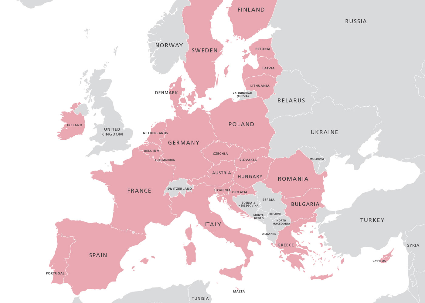
Maproom has issued a new map of the EU after the United Kingdom leaves. Customers who purchased the previous EU map will find the new one in the bundle available on their original download link. This time we have issued the map in two colour stylings, one using the EU's dark blue, with the EU flag in the corner of the map; the other more restful tones. Ready to use PDFs and PNGs are in the package. Designers using Adobe Illustrator or other vector artwork software will be able to style the ... Read more