Maps of Birmingham
Showing all 3 results
-
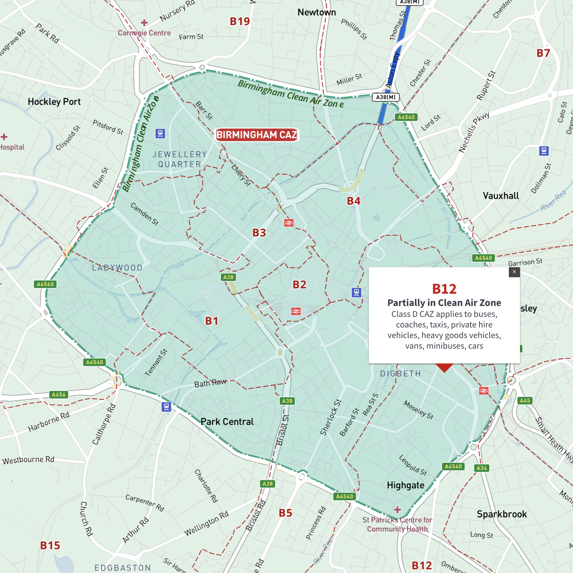
Interactive map of Birmingham Clean Air Zone with postcodes
£35.00This interactive street map of Birmingham has overlays and popups showing the Clean Air Zone juxtaposed with postcodes. It is aimed primarily at businesses needing reference to plan deliveries, driving routes and sales territories in and around Birmingham’s Clean Air Zone.
-
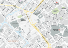
Birmingham Street Maps
£60.00Editable street maps of Birmingham city centre and environs reaching out to West Bromwich and Solihull. Supplied as PDF examples and fully layered Illustrator and SVG formats. The map bases include a wealth of detail including roads, railway and tram lines, canals, parks and building shapes.
PDFsSVGLayered AI file -
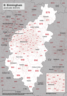
Map of B postcode districts – Birmingham
£15.00The B – Birmingham postcode districts scaled for A4+ printing
PDF