Can’t find the right map base, or in need of specialist help?
We can create map artwork for any part of the world depending on the availability of suitable data for your mapping project. Below are examples of both dynamic and static bespoke maps, and at the bottom is an enquiry form.
Examples of bespoke dynamic maps
Interactive dynamic web maps are built as hosted web pages inside our Dynamic Mapping Suite. Public examples like these can potentially be embedded on the client’s website. You can build your own maps using our default templates, and we can program extra features and bespoke styling to fit your organisation’s branding and unique requirements.
NOTE: Tap on preview images to open full size interactive maps

MRP (Material Requirements Planning) polling data by FocalData – feed for map used by animal welfare consortium
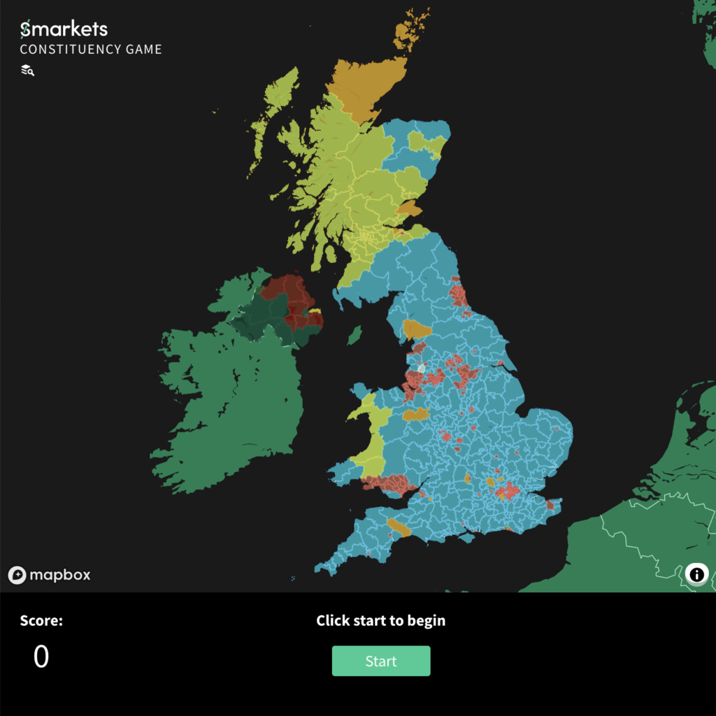
Smarkets political map game (pre 2024 GE)
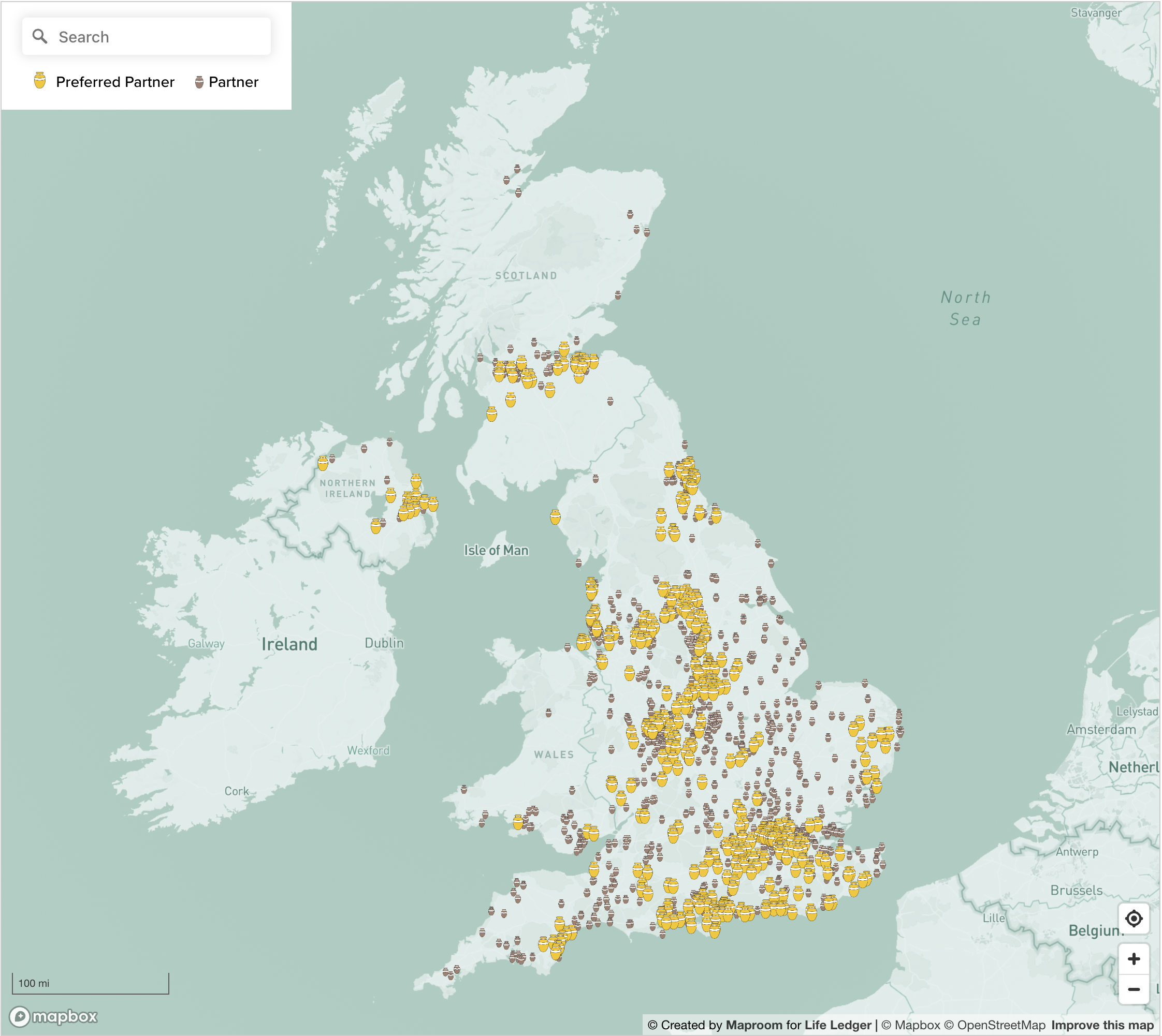
Find a Funeral Director dynamic map for Life Ledger
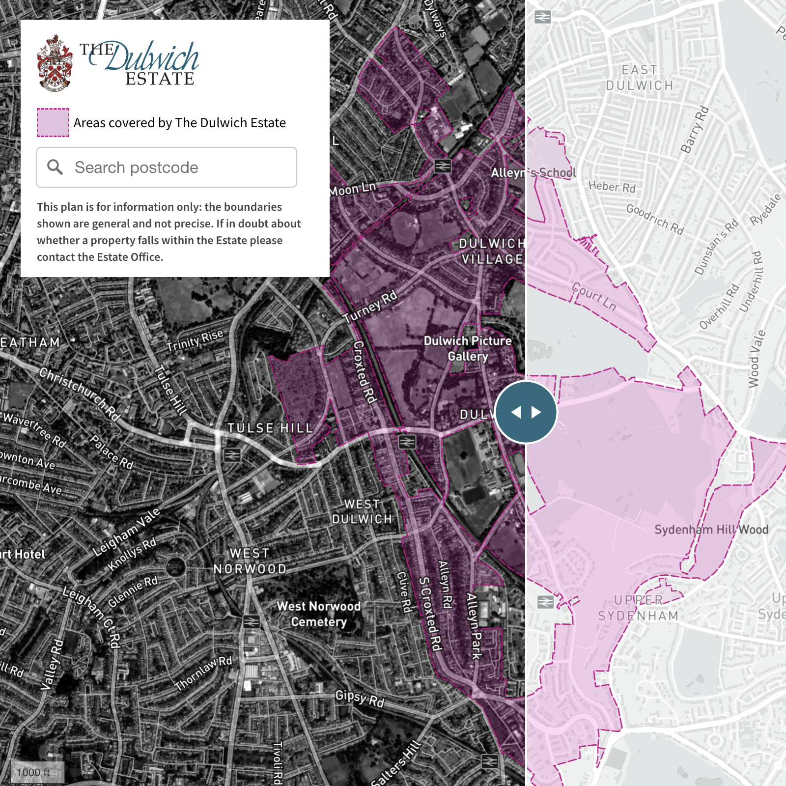
Dulwich Estate boundaries satellite/streets swipe map and localised search
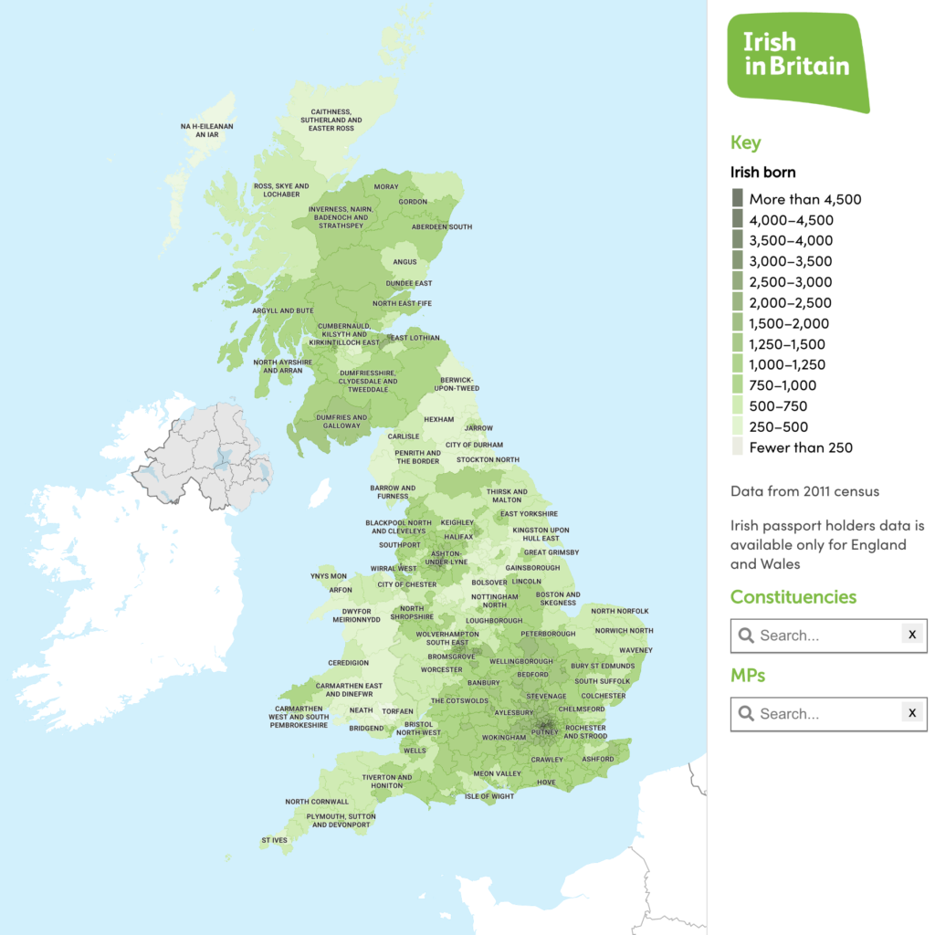
Irish in Britain heat map with constituency data
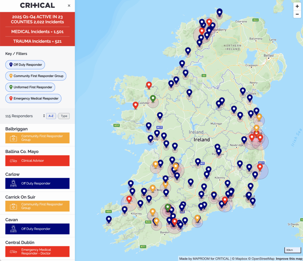
Emergency responders coverage for Critical Charity, Republic of Ireland
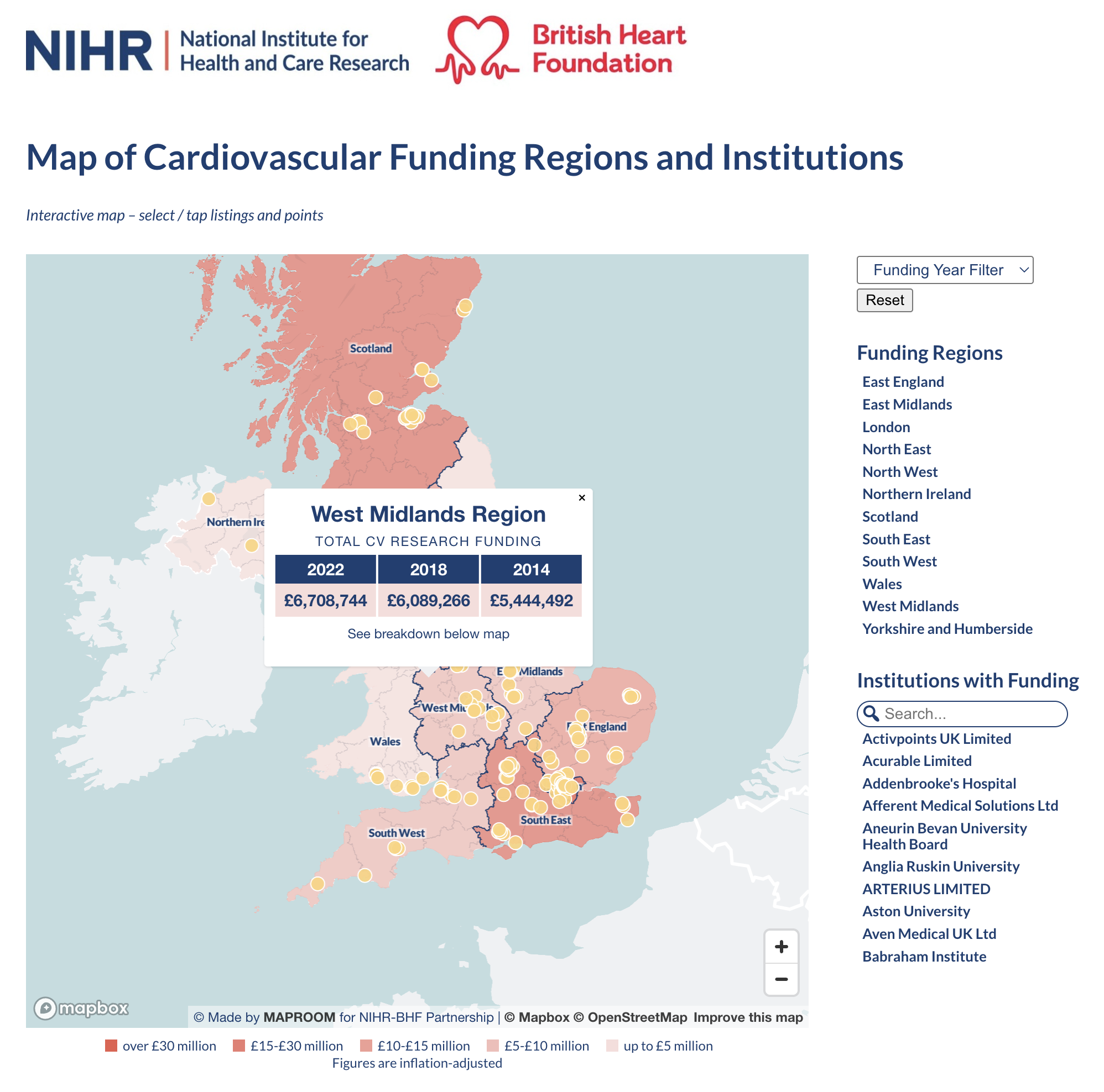
British Heart Foundation – NIHR cardiovascular maps natively built on Oxford BRC website
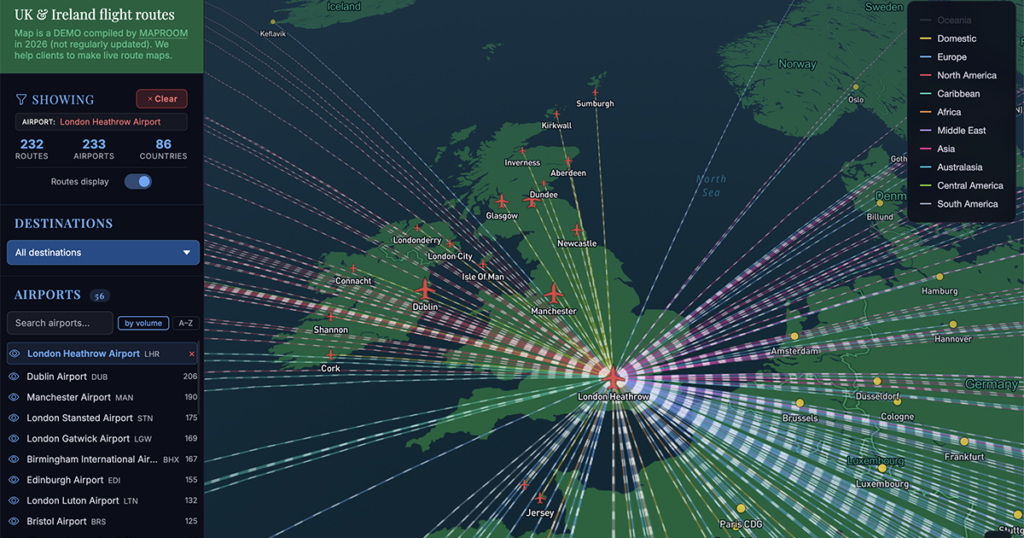
Filterable flow routes similar to private maps built for Seraphim venture capital company investing in space startups
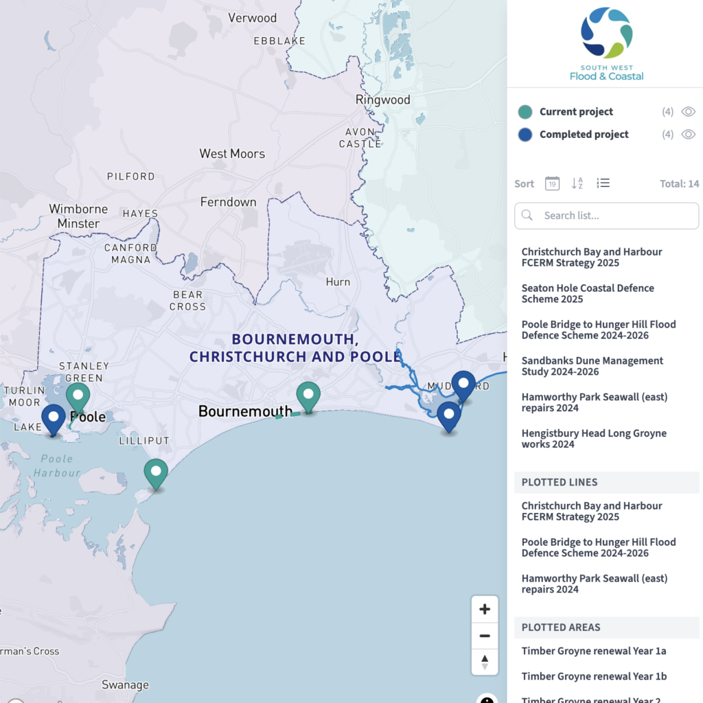
South West Flood & Coastal Erosion Risk Management – dynamic map created in our Dynamic Mapping Suite and displayed publicly on client’s home page
See more live examples in our Dynamic Maps Showcase
Examples of bespoke static maps
These examples were supplied by us either as PDFs ready for high-resolution printing, or in layered formats suitable for editing with Adobe Illustrator, Photoshop or other professional graphics software
NOTE: Tap on images to open in high-resolution PDF viewer – some take a while to load
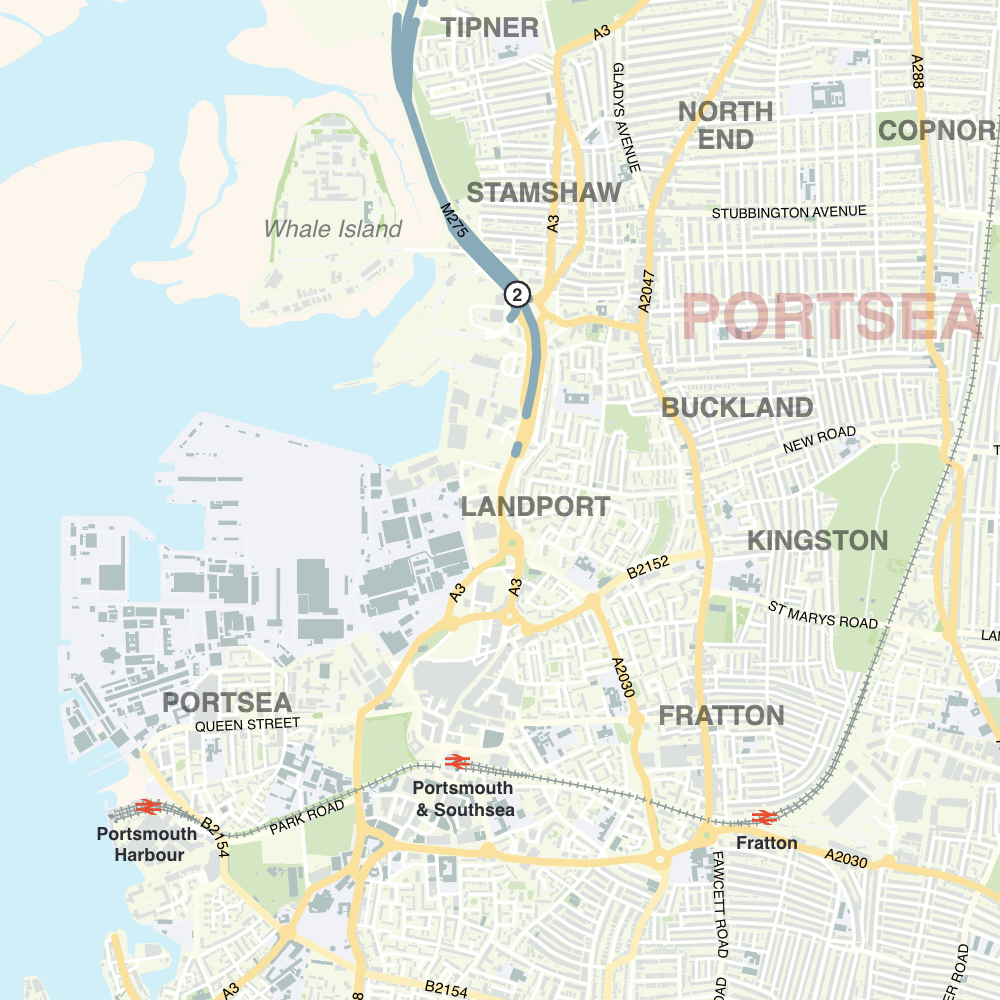
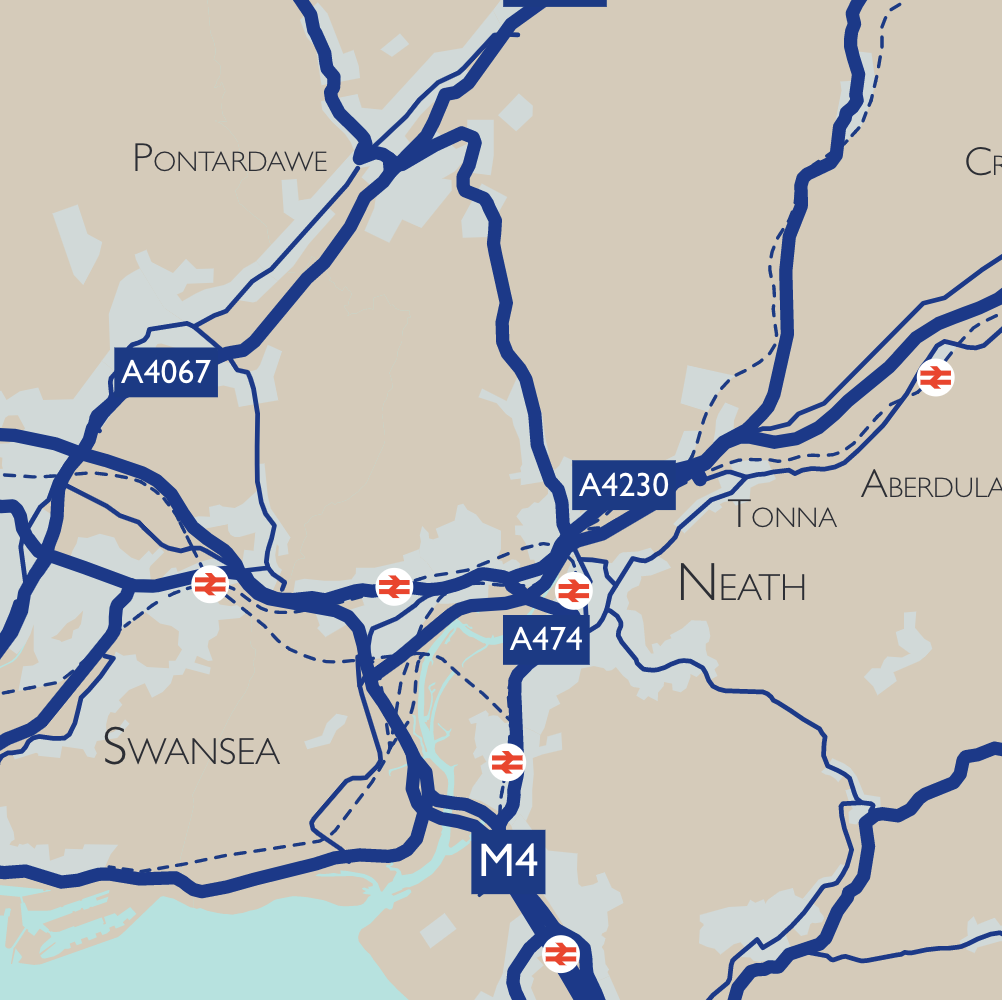
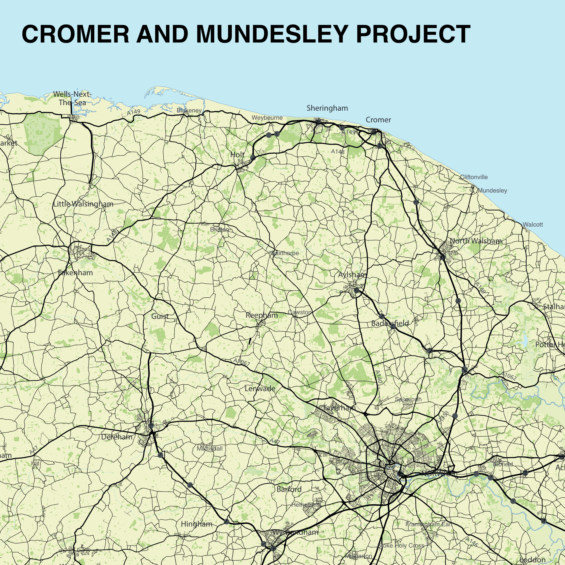
Ordnance Survey base with transport network

Tiny sample from Caravan and Motorhome Club map

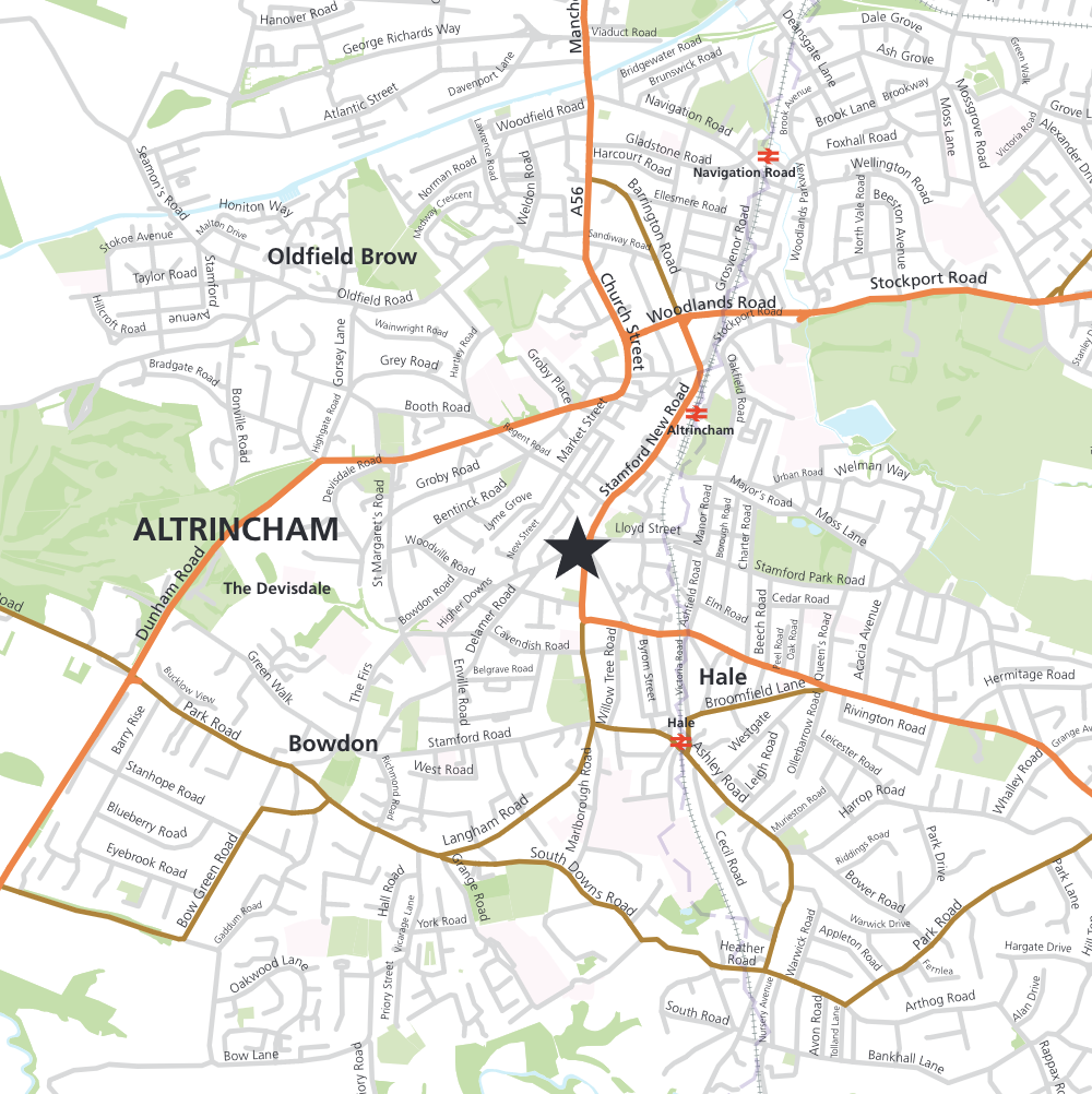
Locality detail

Pin markers on simple backdrop
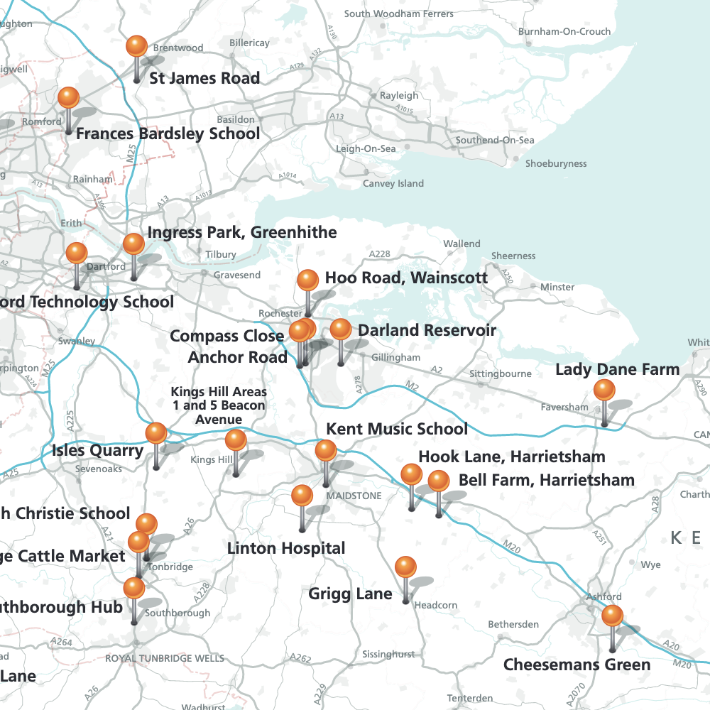
Pin markers with labels on a regional backdrop
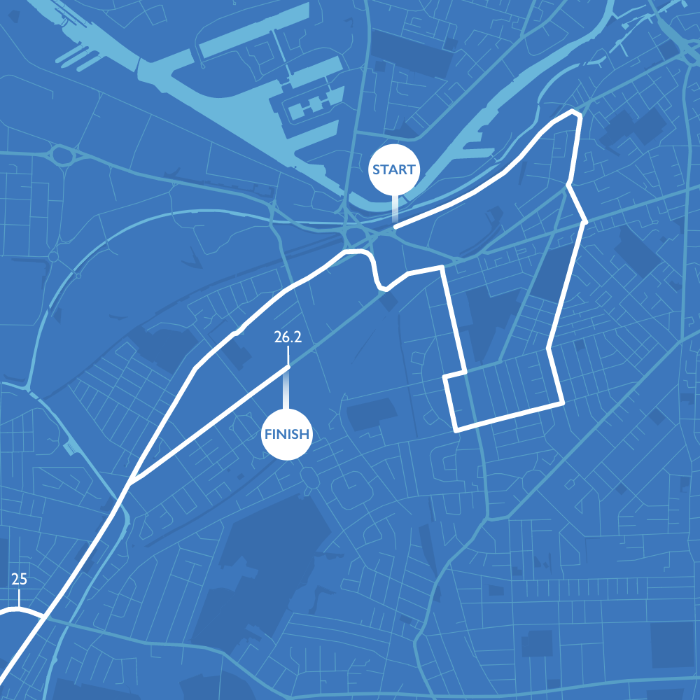
Route plotting
Map for estate agency
Towns and major roads in client’s brand colours
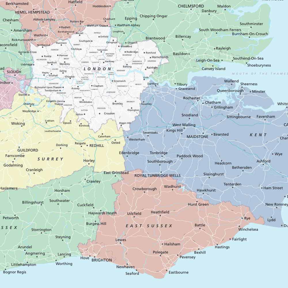
Counties highlighted
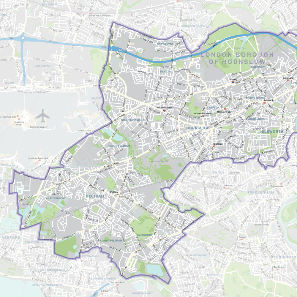
Borough highlight
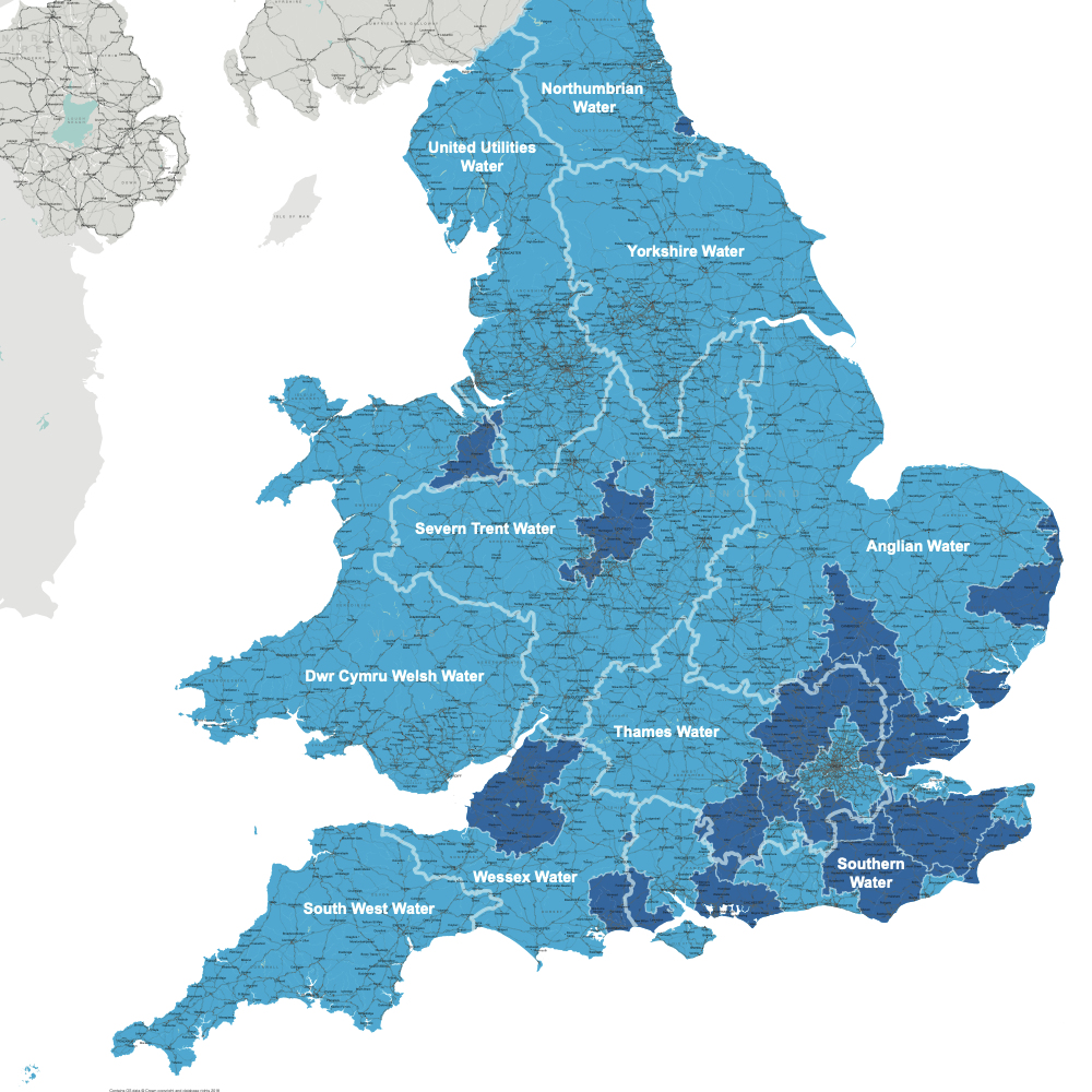
Water Utilities map (newer base also available)
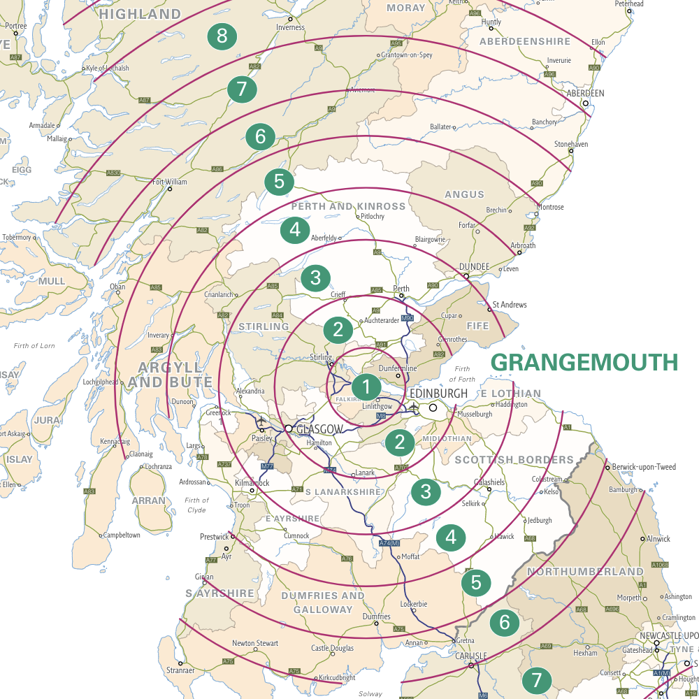
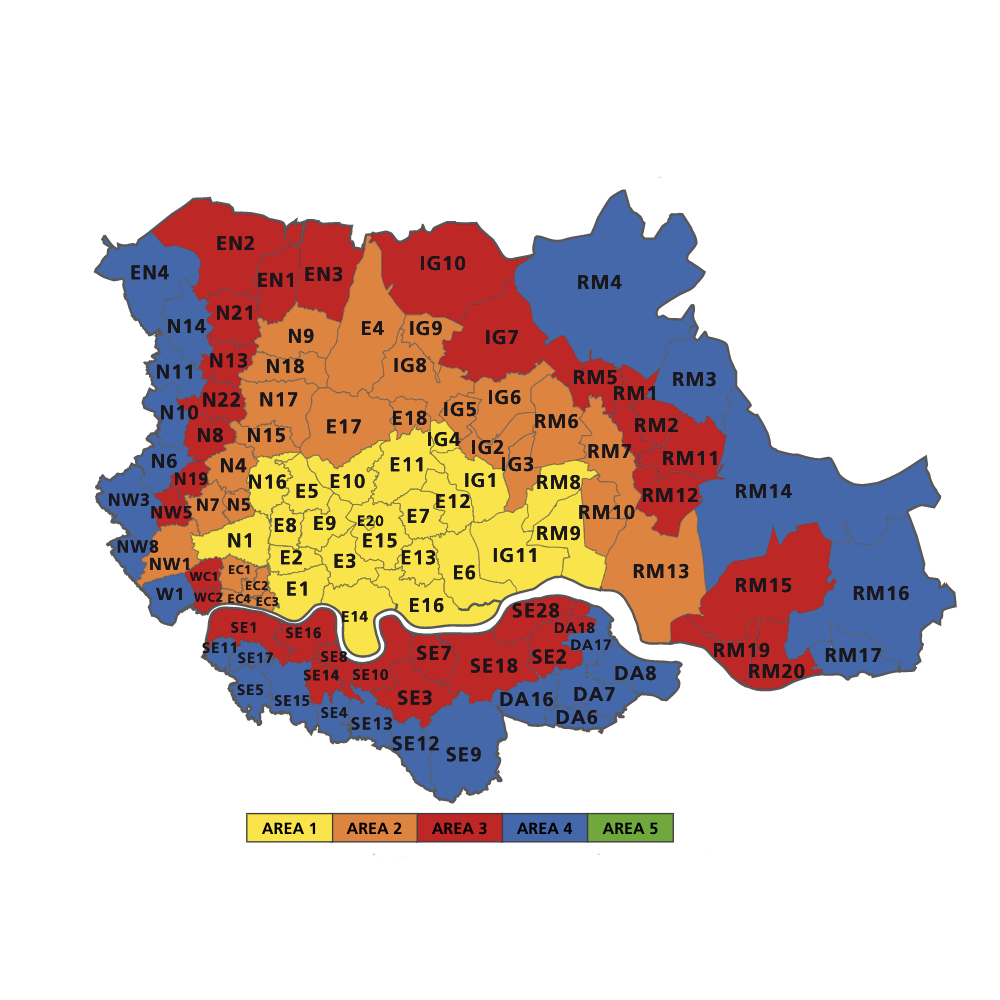
Zone map

Delivery map
Service coverage map
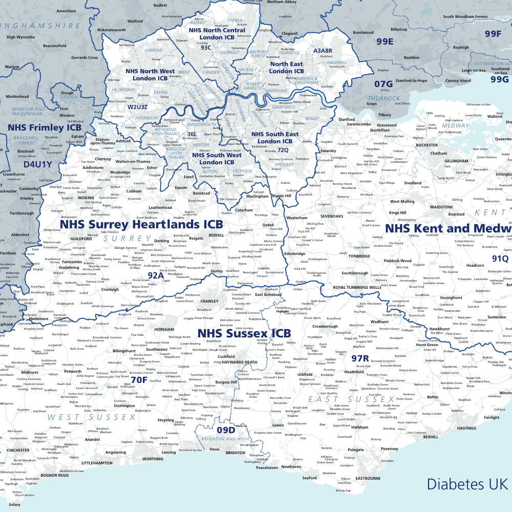
Map highlighting Integrated Care Boards in client’s SE England region

Historic parishes
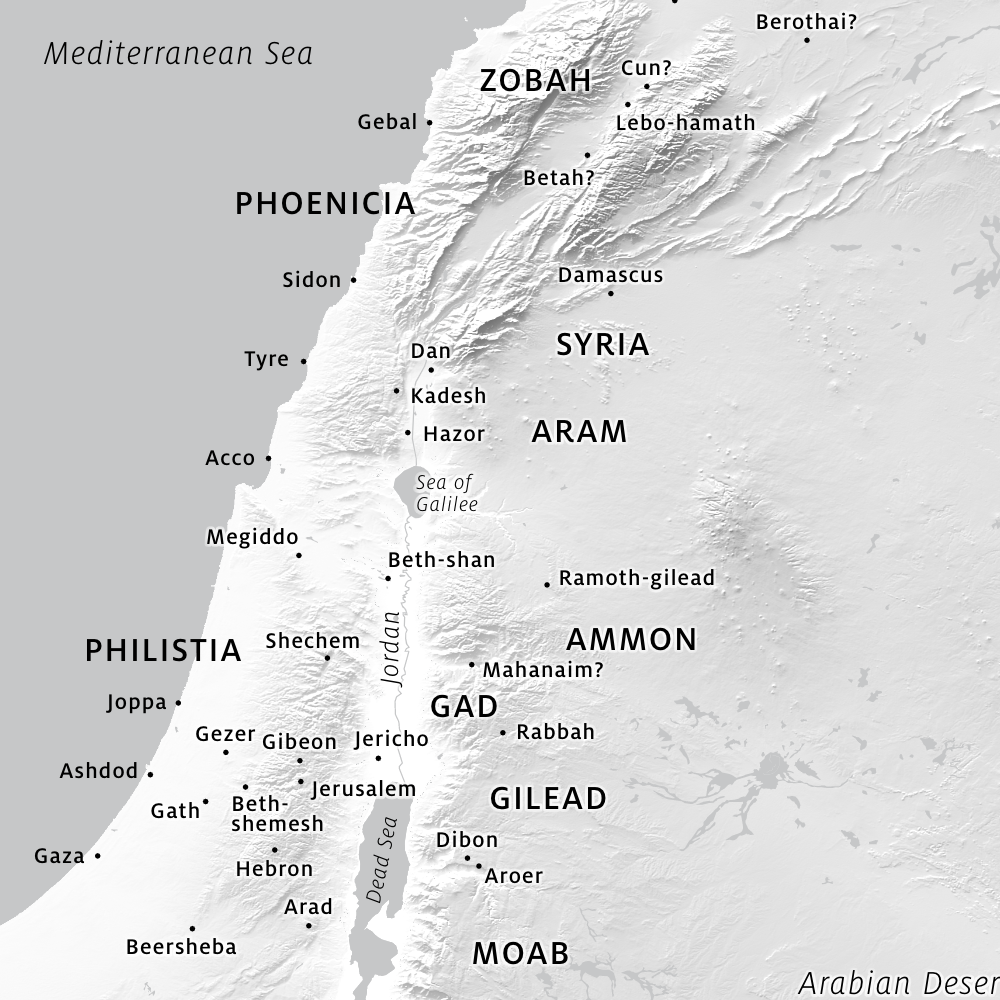
Ancient history map

Base for film production company
Balfour Beatty project map
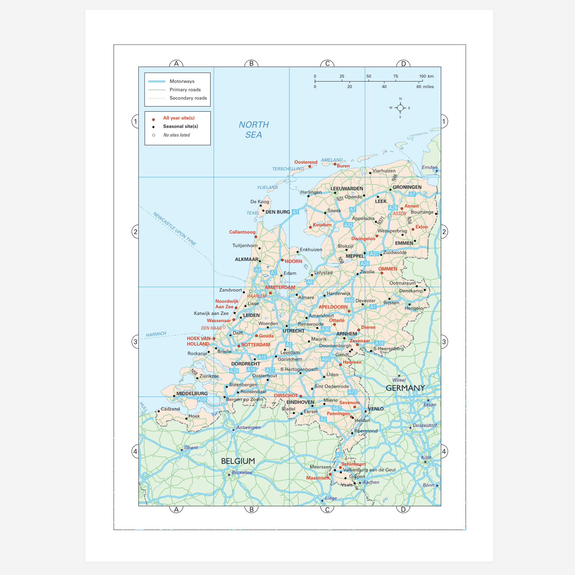
Map of the Netherlands for motoring guide to Europe
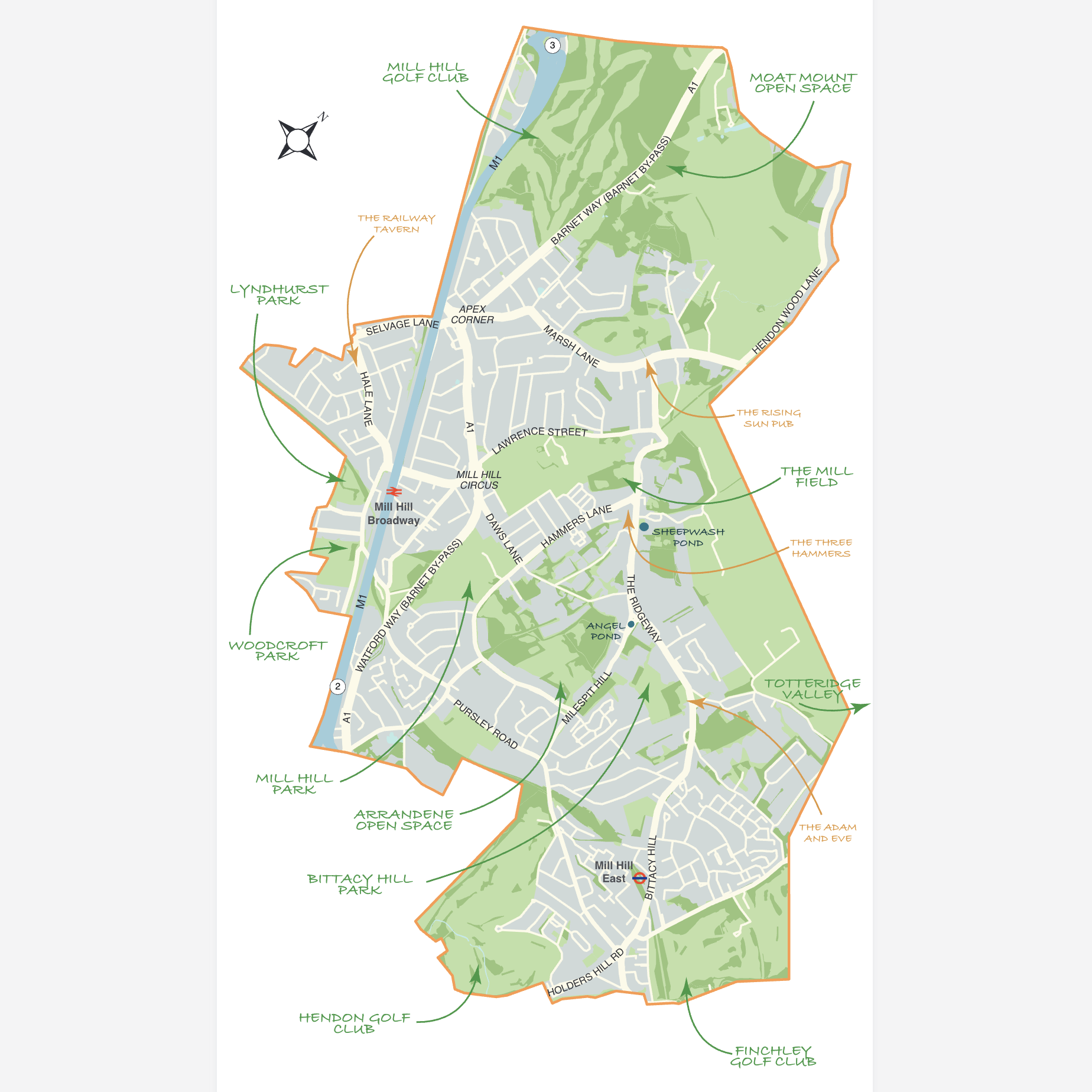
Mill Hill Preservation Society map
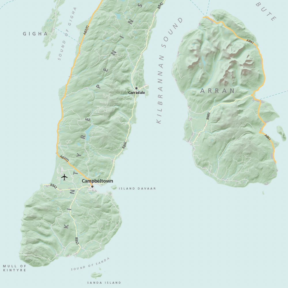
Hillshading 1 – subtle
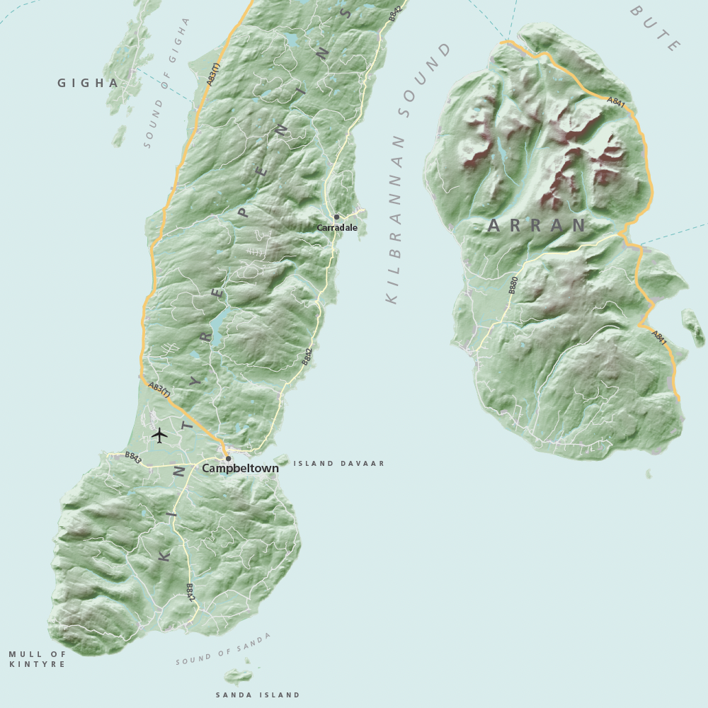
Hillshading 2 – medium
Hillshading 3 – dramatic