Maps of Europe
Showing all 4 results
-
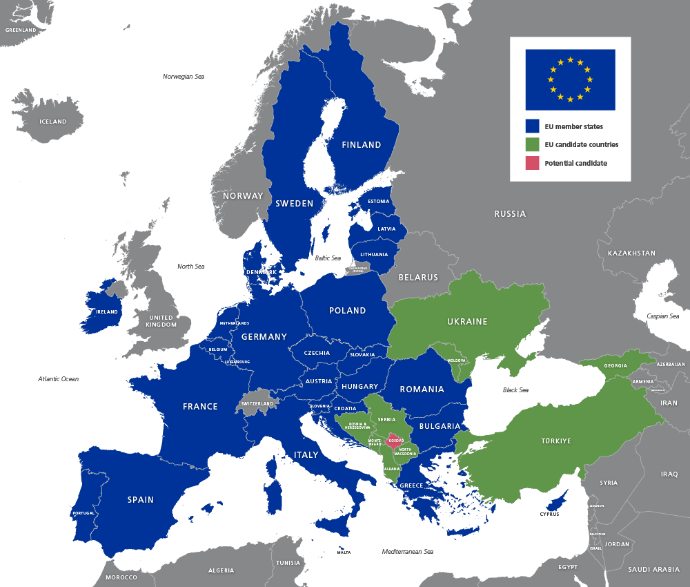
Map of EU countries 2026
£20.00Up-to-date map of the European Union including candidate countries
PDFsSVGLayered AI file -
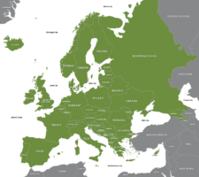
Maps of Europe with country outlines – geographic and political
£25.00Superbly detailed vector maps of Europe with all the individual countries and mini-states. Multiple styles included in the package, including EU states, and a version with finely detailed coastlines, good for zooming. Incredible value.
PDFsSVGLayered AI file -
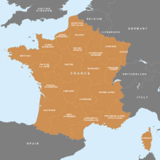
Map of France – French regions
£15.00A beautifully detailed outline of France and her main administrative regions
PDFsSVGLayered AI file -
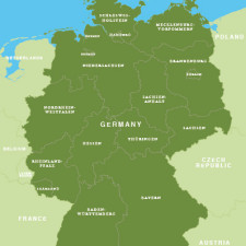
Map of Germany – German states / Bundesländer
£15.00Map of Germany with the boundaries of the 16 federal states / Bundesländer
PDFsSVGLayered AI file