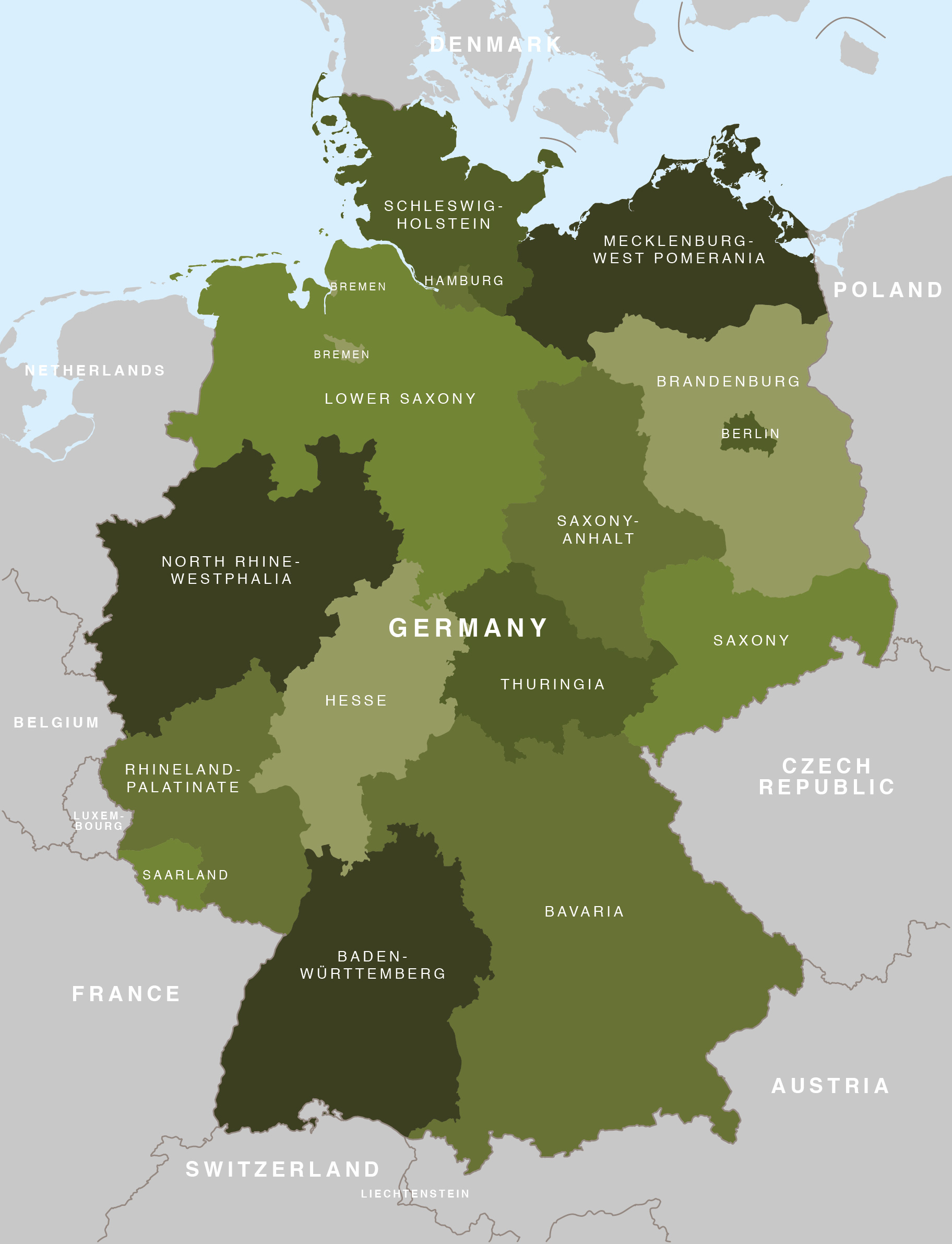
Map of Germany – German states / Bundesländer
Downloadable royalty free vector artwork High-resolution PDFsSVGLayered Adobe Illustrator filePrice £15.00
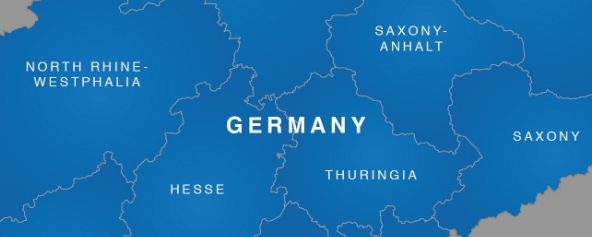
Zoom preview showing full area of coverage (low-resolution)
Pan to zoom / click or tap to switch
Examples of styling in the zoom previews are included as ready to use high-resolution PDF files in the download package. You can edit all colours, fonts and other elements using Adobe Illustrator or other SVG editing software.
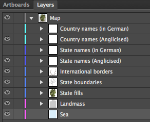
Our editable vector map base of Germany is suitable for all royalty free commercial uses. The boundaries of Germany’s 16 federal states / Bundesländer are included in interlocking layers on the editable Illustrator and SVG files, which means you can colour each state differently if wanted, and hide or show the regions as needed.
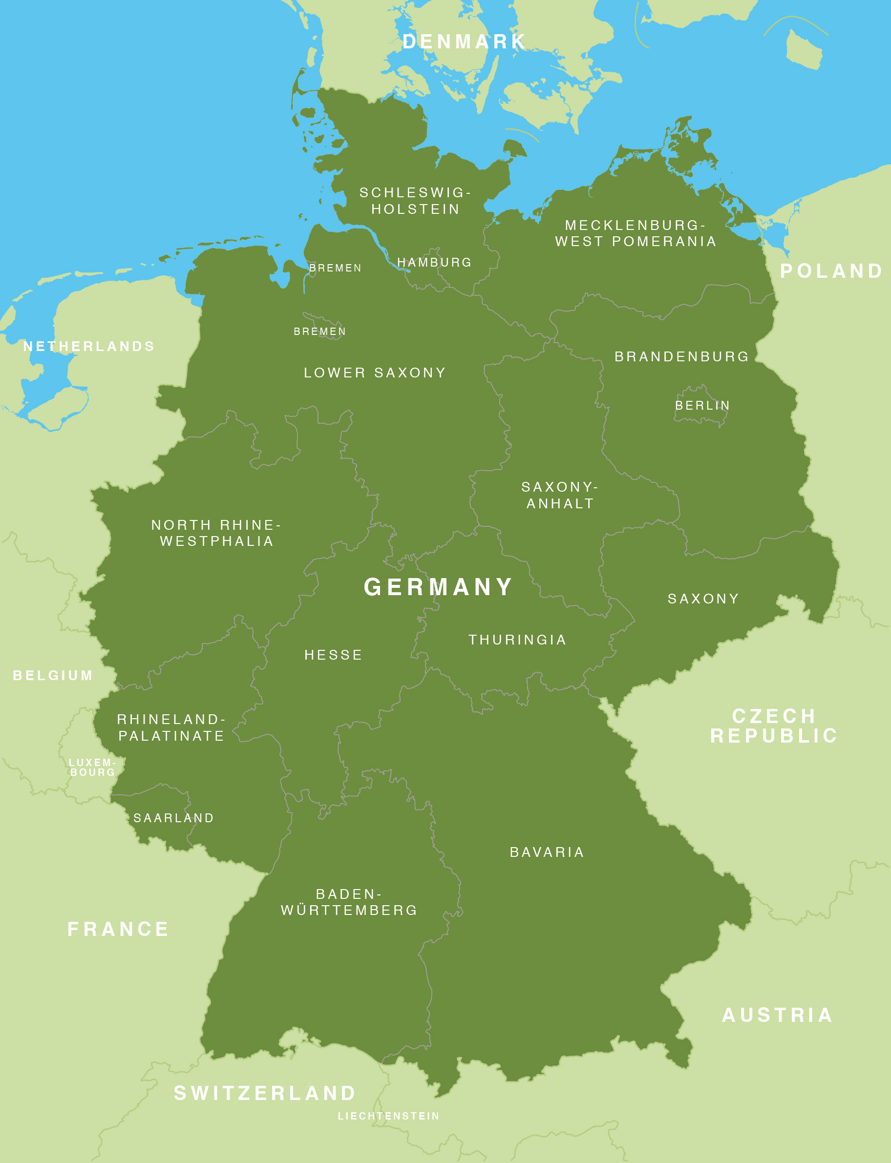
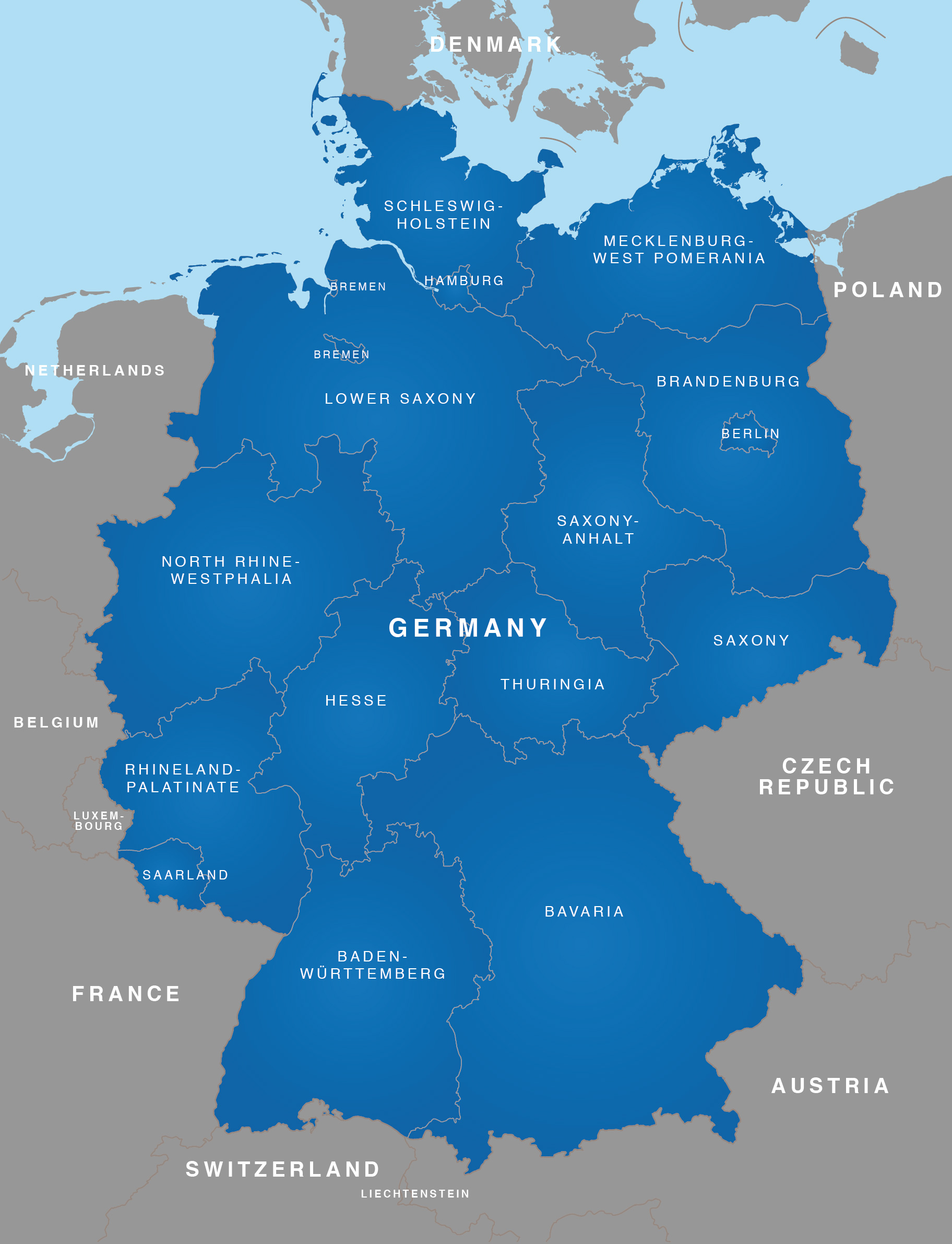
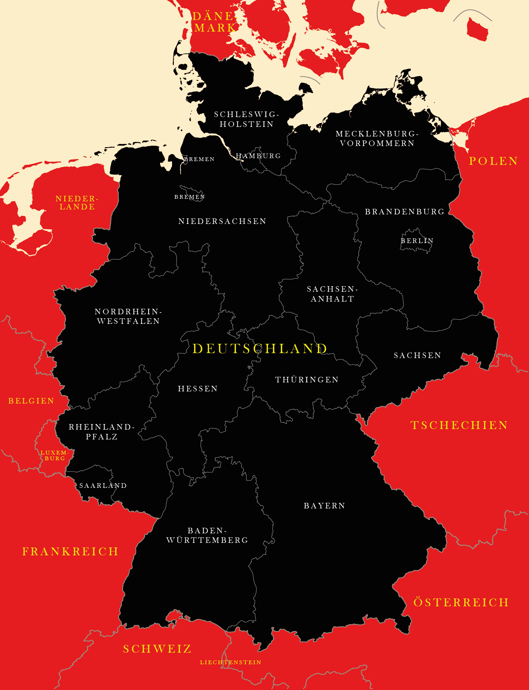
The four styling examples shown here are included as ready to use PDFs and JPEGs in the download alongside the editable Illustrator and SVG files. Click on the map to the right to pan and zoom through the different examples.
The 16 federal states / Bundesländer plotted on the Germany map are Schleswig-Holstein, Hamburg, Mecklenburg-Vorpommern (Mecklenburg-West Pomerania), Bremen, Brandenburg, Berlin, Niedersachsen (Lower Saxony), Sachsen-Anhalt (Saxony-Anhalt), Sachsen (Saxony), Thüringen (Thuringia), Hessen (Hesse), Nordrhein-Westfalen (North Rhine-Westphalia), Rheinland-Pfalz (Rhineland-Palatinate), Saarland, Baden-Württemberg and Bayern (Bavaria).
There are separate label layers on the Illustrator file that let you quickly switch between the German and Anglicised sate and country names.

Specifications
Licensing terms
This editable map base is suitable for commercial and professional uses
See standard royalty free terms for downloadable maps
How to edit
Adobe Illustrator, CorelDRAW, PDF editors etc
See how to edit the downloadable maps
Recommended scaling
thumbnail to poster size
For more guidance see scaling recommendations
Vector map layers in Illustrator