Maps of Edinburgh
Showing all 3 results
-
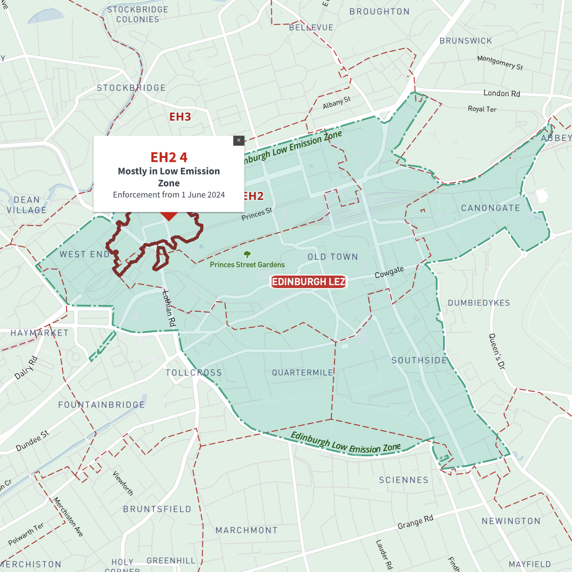
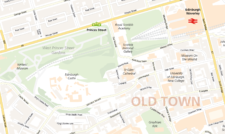
Interactive map of Edinburgh Low Emission Zone and all EH postcodes
£35.00Online deep-zoom map of Edinburgh Low Emission Zone (LEZ) with EH postcode districts, sectors and units available in the Dynamic Mapping Suite
-
Edinburgh Street Maps
£60.00Street maps of Edinburgh and its environs including Edinburgh Airport, Leith, Queensferry and Musselburgh, with a huge amount of detail including the full road network and building shapes.
PDFsSVGLayered AI file -
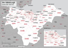
Map of EH postcode districts – Edinburgh
£15.00The EH – Edinburgh postcode districts scaled for A4+ printing
PDF