Interactive map of Edinburgh Low Emission Zone and all EH postcodes
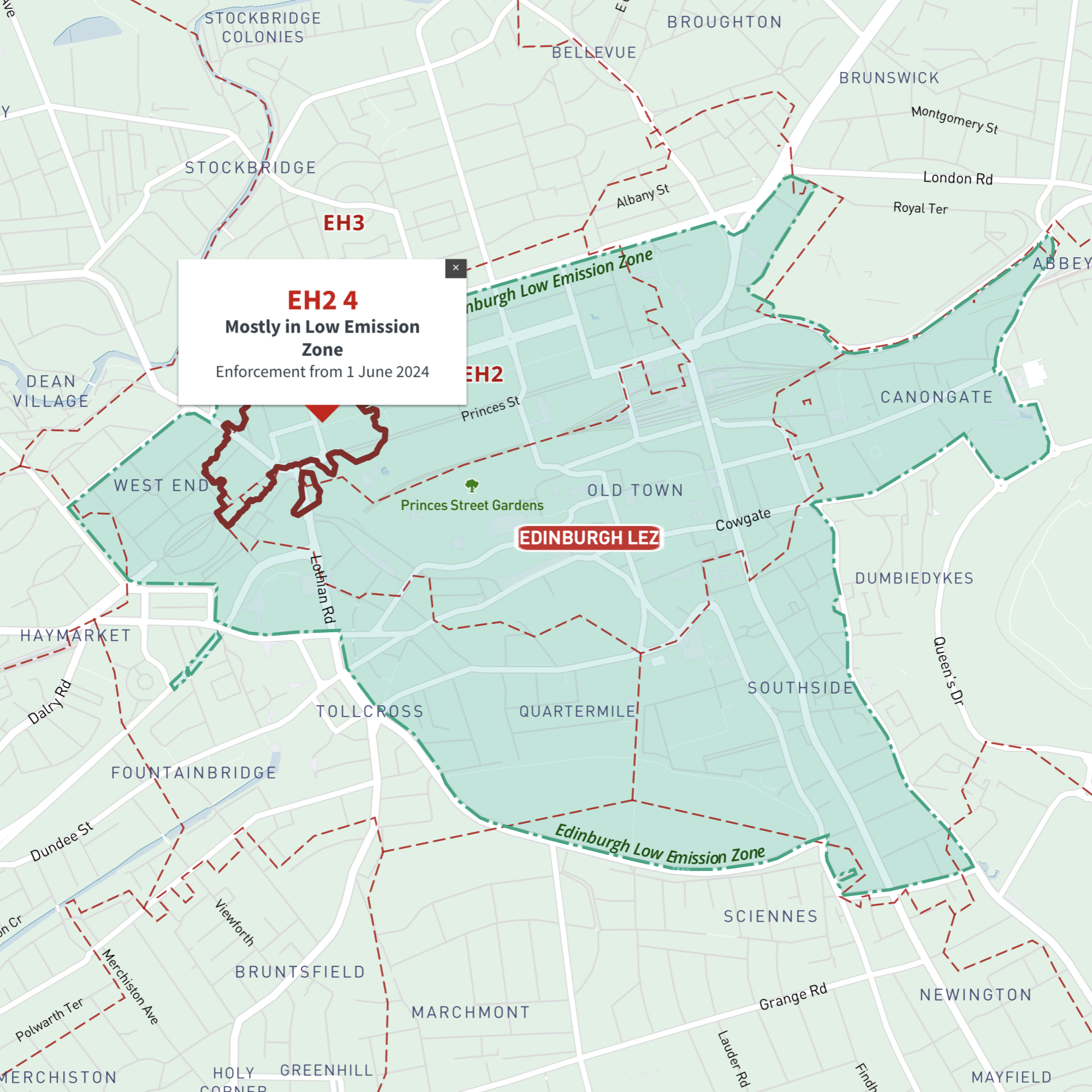
Maproom’s Dynamic Mapping Suite includes an interactive reference map with all postcode boundaries juxtaposed with the UK’s Clean Air and Low Emission Zones, including Edinburgh’s Low Emission Zone (LEZ).
Together with postcode search and nested listings, the map helps businesses to plan sales territories, charging and delivery zones.
Try the Dynamic Mapping Suite
No payment card required. Access all mapping tools in Test Mode.
£35.00