UK postcode maps for easy A4 printing – FULL SET with 126 maps
Downloadable royalty free vector artwork High-resolution PDFs Bundled with 7-Day Pass for Dynamic Mapping Suite iPrice £125.00

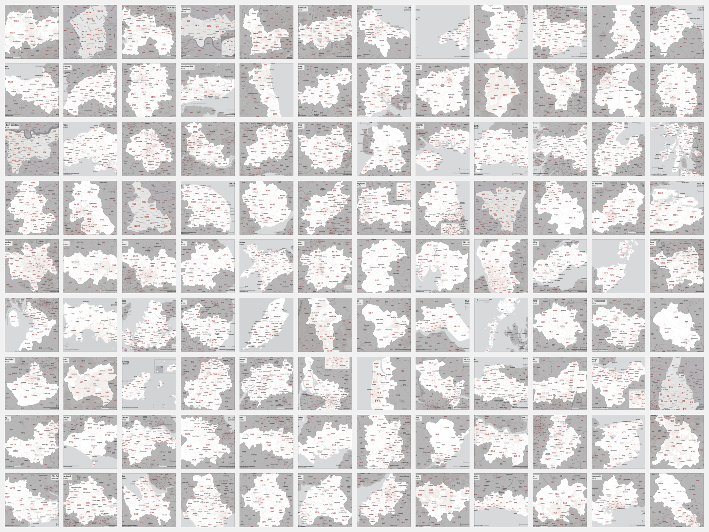
We sell our full set of postcode maps for easy A4 printing at a huge discount.
The set consists of individual files for each postcode district plus UK overview and central London postcode maps. There is also an all-in-one PDF file for fast viewing and printing.
Scaled for “A” format printing – A4 and larger
The maps are supplied as PDF files scaled specifically for printing at “A” format paper sizes. From A4 upwards the text is legible, and the artwork will scale neatly and sharply at all sizes.
Superb planning tool for sales & marketing, the maps can be printed on any office laser or inkjet printer.
The individual files are also suitable for high-quality edge-to-edge poster printing and lamination, and can be sent to a professional printer as they stand for output at the standard A4, A3, A2, A1 etc sizes.
Editable in Adobe Illustrator
Of interest to professional graphic designers, the files supplied are all Illustrator PDFs with layers and fonts live and editable in the latest version of Adobe Illustrator software. The postcode districts are structured with boundary lines plus underlying polygon layers making it easy to highlight individual districts. Please note that design changes to the maps are permitted with our royalty free license but must retain the copyright wording.
Bundled with access to dynamic postcodes
This mega map package includes a Limited Free Pass for all online postcode maps and mapping tools in our Dynamic Mapping Suite.
Specifications
Price £125.00
Product code: MR158
Licensing terms
This editable map base is suitable for commercial and professional uses
See standard royalty free terms for downloadable maps
How to edit
Adobe Illustrator, CorelDRAW, PDF editors etc
See how to edit the downloadable maps
Access to Dynamic Mapping Suite
A 7-Day Full Pass for the Dynamic Mapping Suite is bundled with this map. The Dynamic Mapping Suite is a separate system that includes a set of online mapping tools geared to visualising data for UK administrative areas.
You may also like…
-
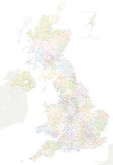
Best UK postcodes map with all the postcode districts, post towns and major roads
£75.00Our most detailed downloadable single-image UK postcodes map at a bargain price. Shows all the 4-digit postcode districts in context with post towns, major roads and counties. Five styles are included, or you can use your own colours and fonts.
PDFsSVGLayered AI file