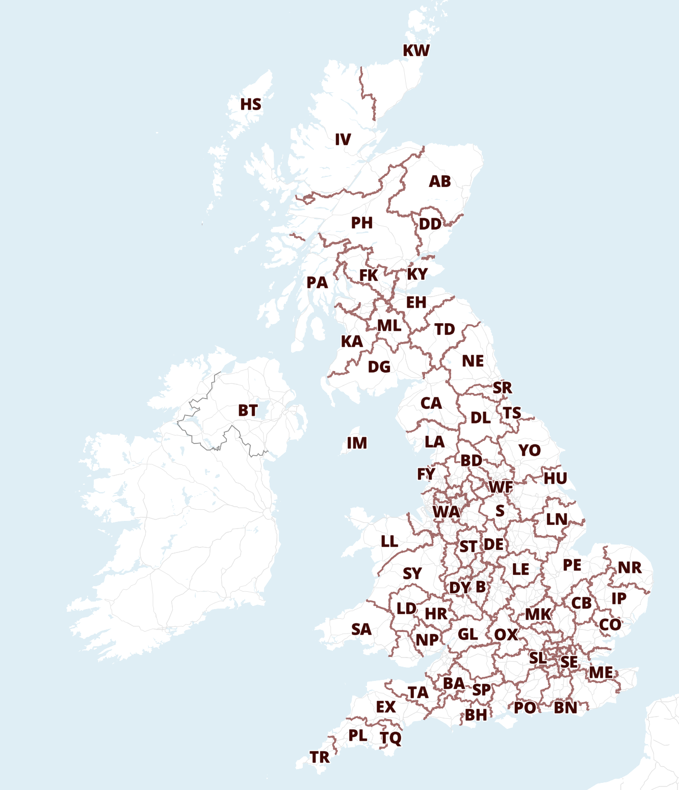
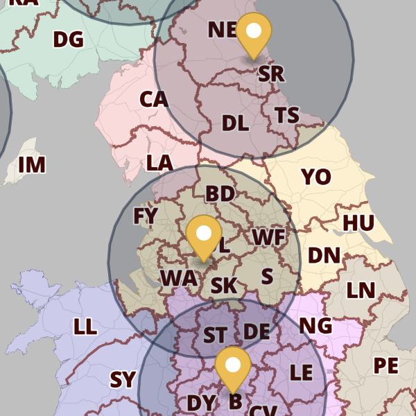
Maproom

Interactive & editable digital maps

  • about
  • news
  • contact
  • 0 items
Log in
  • Britain & Ireland maps
    • Britain and Ireland
    • UK - United Kingdom
    • Ireland
    • England
    • Scotland
    • Wales
    • Northern Ireland
    • Isle of Man
    • Channel Islands
  • City maps
    • Birmingham
    • Brighton
    • Bristol
    • Cardiff
    • Edinburgh
    • Exeter
    • Glasgow
    • Liverpool
    • London
    • Manchester
    • Oxford
  • Postcode maps
    • Overview
    • Dynamic postcode mapping tools
    • Downloadable postcode maps
  • Admin / region maps
    • UK administrative regions
    • County maps
    • Local authority maps
    • London borough maps
    • Transport maps
    • National park maps
  • World maps
    • World maps
    • Europe maps
    • Map of EU countries 2026
    • Maps of France
    • Maps of Germany
    • Maps of New York and environs
  • DYNAMIC MAPPING
    • Showcase
    • Dynamic Mapping Suite info
    • PASS PRICING
  • BESPOKE

Maproom bases used in The Capture

13 April 2026
Filed Under: Maproom News

iPlayer screenshot

Maproom’s base maps make a subtle appearance as set dressing in The Capture, the BBC drama that lives and breathes surveillance, AI, and the manipulation of reality. Set against a world where images can be fabricated and truth is constantly in question, the inclusion of maps in scenes with banks of surveillance screens adds an essential layer of authenticity – ironically grounding a story built on deception. It’s a quiet reminder that even the most reliable-looking data, whether maps or footage, can play a role in narratives that blur the line between what’s real and what’s constructed.

Spinning globe with animated UK & Ireland flight routes

11 March 2026
Filed Under: Animated Maps, Bespoke Mapping Samples, Interactive Mapping, Maproom News, Travel Maps

View full size map

See our showcase of dynamic, interactive online maps for more about this type of route map that we can build for you.

Brilliant new tools including 3d maps, multiple radii, drawing tools and Live Views for the Dynamic Mapping Suite

12 December 2025
Filed Under: Animated Maps, Interactive Mapping, Maproom News, Travel Maps

Hugely upgraded Locations Plotter!

  • Bulk plotting for postcodes and general addresses
  • Multiple radii
  • Drawing tools
  • Colour and category filters
  • Bulk editing screen
  • Spreadsheet import, update and export
  • Population and household calculations
  • 3d base map options
  • Add images and links to popups

New in Quick Select Postcodes

  • Now includes Sector colouring and labelling!
  • Overlay markers and multiple radii
  • Live View with interactive key and fly-tos
  • Population and household calculations
  • Spreadsheet import

Also new – Live Views for the Locations Plotter and Quick Select Postcodes can be shared with password protection.

Full series of London borough maps now available

12 December 2025
Filed Under: Maproom News

All 33 London borough maps are now available individually or in a discounted bundle set. Scaled for legibility at A1, they show a wealth of detail and isolate the shape of each borough with a semi-transparent mask. Supplied in PDF, SVG and Adobe Illustrator formats, they are perfect for use as they are, or for graphic designers to edit.

33 London boroughs

Greater London map used in Silent Witness

6 February 2025
Filed Under: Maproom News

We were pleased to see Maproom’s Greater London map base put to good use within this week’s episode of Silent Witness. (All of our downloadable maps can be used for set dressing and TV graphics.) Here, the fictional pathologists are plotting points and trails in Southeast London to help catch a serial killer.

Interactive cardiovascular research maps for British Heart Foundation and NIHR

13 January 2025
Filed Under: Interactive Mapping, Maproom News

We are delighted to publish two bespoke interactive maps for the NIHR-British Heart Foundation Partnership, which show the funding regions and member centres for millions of pounds worth of cardiovascular research in the UK. The maps took several months to compile data for and programmed as native embeds on the Oxford Biomedical Research Centre website.

Map of Cardiovascular Funding Regions and Institutions
Map of Cardiovascular Partnership Member Centres

Next Page »
  • Standard royalty free terms for downloadable maps
  • Licensing terms for downloadable postcode maps
  • Licensing terms for dynamic online maps
  • How to edit the downloadable maps
  • Refund, tax and pricing policies
  • Privacy & cookies

All content © Maproom at Blue Island Media · Award winning media projects