Maproom

Editable & interactive maps

MENUMENU
  • about
  • news
  • contact
  • 0 items
LOGIN
    • Home
  • Britain & Ireland maps
    • Britain and Ireland
    • UK - United Kingdom
    • Ireland
    • England
    • Scotland
    • Wales
    • Northern Ireland
    • Isle of Man
    • Channel Islands
  • City maps
    • Birmingham
    • Brighton
    • Bristol
    • Cardiff
    • Edinburgh
    • Glasgow
    • Liverpool
    • London
    • Manchester
    • Oxford
  • Postcode maps
    • Overview
    • Online postcode mapping tools
    • Downloadable postcode maps
  • Boundary & transport maps
    • Boundary and ONS maps
    • Local authority maps
    • County maps
    • Transport maps
  • World maps
    • World maps
    • Europe maps
    • Map of EU countries 2023
    • Maps of France
    • Maps of Germany
    • Maps of New York and environs
  • DYNAMIC
    • Showcase
    • Dynamic Mapping Suite information and demos
    • GET A PASS
  • BESPOKE
    • Bespoke mapping services
    • Bespoke static maps
    • Bespoke dynamic maps
    • Search

Bespoke mapping services

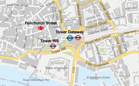
Example detail from a city map

Can’t find the right map base?

We can create map artwork for any part of the UK as a PDF or other format tailored to your specifications. We may also be able to help map places outside the UK depending on the availability of suitable GIS data.

Please note, we do not offer print services, but we can scale your map artwork for printing at a specific size.

See examples of bespoke static maps

Do you need help to edit a map base?

Our downloadable vector art maps are easy for designers to edit using Adobe Illustrator. Even beginners can make simple colour and text changes. (See how to customize.)

However, if you have never edited vector artwork before, or if your needs are complex, you might prefer to commission us to help.
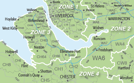
Sample of bespoke postcode map
Example detail from a bespoke postcodes map
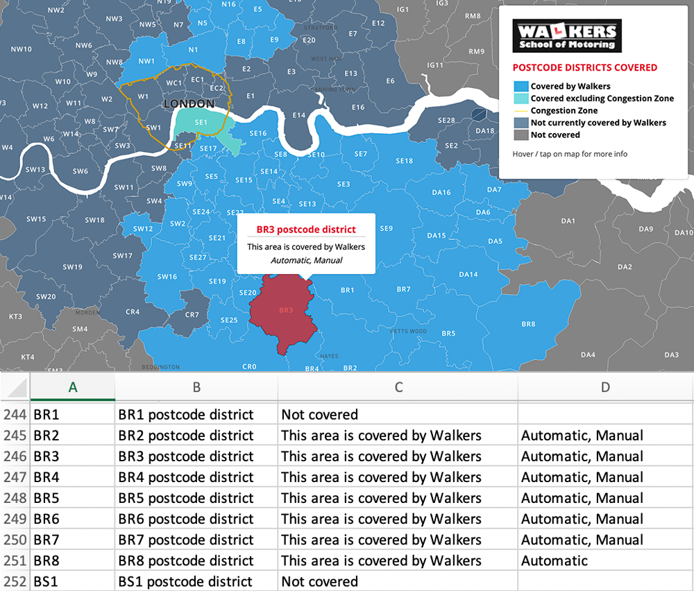
spreadsheet for postcode map data visualisation
Screenshot from an interactive online map with spreadsheet feed

Have you considered a dynamic online map?

We are especially interested in building bespoke interactive, dynamic online maps with data feeds for clients. We have created a system whereby map colours and captions can be controlled simply by editing an online spreadsheet.

We build interactive maps using Mapbox, Datawrapper, Google Maps and other 3rd-party systems at the forefront of mapping technology.

Dynamic online maps are not only more functional but often cheaper to create than bespoke printed maps!

Learn more about dynamic online maps

See examples of bespoke dynamic maps

Bespoke Map Enquiry

Your name(Required)
Do you want finished artwork or an editable map base?(Required)

How will you be using the map?(Required)
Please select all that apply. Some selections open further questions below.
Website use - what format?

Poster or other printed format - what size?
We do not offer printing services, but we can create bespoke map artwork optimised for printing at a specific size. Knowing the print size in advance ensures legibility of labels on the map. If not an A format, please give width and height in mm, cm or metres as accurately as possible. The map will be supplied as an Illustrator PDF suitable for printing.

If we have an existing map base that can be adapted, we charge only for the base + our time spent on liaison and adaptation, to the nearest half hour. If you have already purchased the base, we charge only for adaptation time.
It speeds up the quotation process if you can send us something showing the area and/or style of map you want. Ways you could do this include making a screenshot of the area you want from Google Maps below and uploading the file to us. Or even hand-draw a rough map, photograph it from a smart phone and upload the file here.
Drop files here or
Max. file size: 256 MB, Max. files: 5.

    How to upload a screenshot of the area you want on Google Maps

    1. Zoom to the area you need on the Google map below.
    2. Make a screenshot. (If you don't know how to make a screenshot, follow these instructions on a PC or these instructions on a Mac.)
    3. Upload the screenshot to us in the field above

    View Larger Map

    TERMS OF QUOTATION: Bespoke static artwork maps (PDF, JPG etc) are supplied on Maproom's standard royalty free terms. Interactive web maps are usually quoted based on setup fee + Dynamic Mapping Suite subscription. Fees are usually invoiced 50% up-front; 50% on delivery.

    PRIVACY NOTICE: We will not share your contact details with others nor use your data for any purpose other than to respond to your enquiry.

    This field is for validation purposes and should be left unchanged.
    • Standard royalty free terms for downloadable maps
    • Licensing terms for downloadable postcode maps
    • Licensing terms for dynamic online maps
    • How to edit the downloadable maps
    • Pricing & refund policies
    • Privacy & cookies
    • Maproom on Twitter

    All content © Maproom at Thameside Media · Award winning media projects