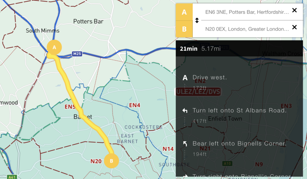
We’ve added an auto-calculating A to B driving route plotter with directions for businesses that need to calculate service charge areas and delivery routes in and around the UK’s Low Emission Zones. See at a glance if your customer’s postcode is in a Low Emission Zone and / or if your route takes you into Greater London’s ULEZ or 13 other Low Emission Zones around UK cities.
For more information and access to this map see Clean Air Zones / ULEZ / Low Emission / Congestion Charge + postcodes + live traffic interactive map