Map of OX postcode districts – Oxford
Downloadable royalty free vector artwork High-resolution PDF Bundled with 7-Day Pass for Dynamic Mapping Suite iPrice £15.00

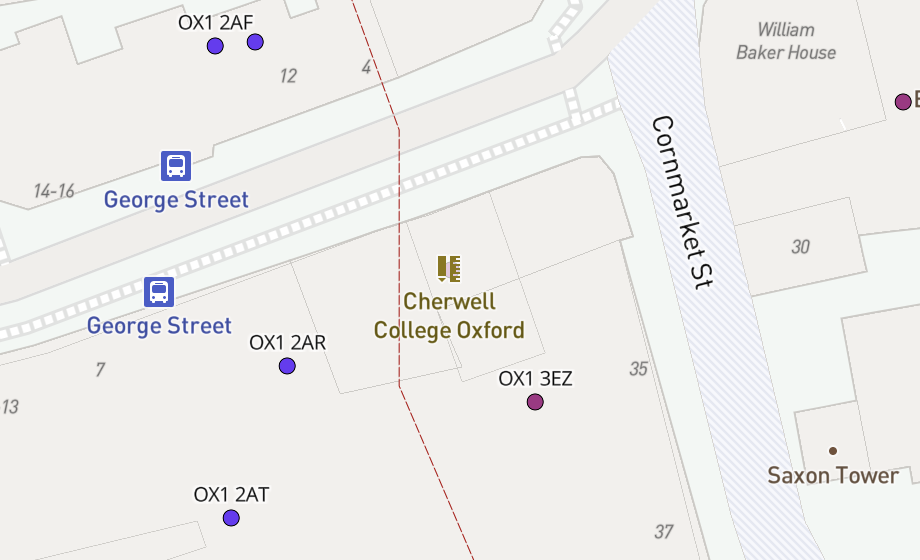
This map of OX postcode districts covers Oxford, Abingdon-on-Thames, Didcot, Wantage, Woodstock, Witney, Banbury and other towns with the context of urban shading and major roads.
Scaled for "A" format printing – A4 and larger
The map is supplied as a PDF file scaled specifically for printing at “A” format paper sizes. From A4 upwards the text is legible, and the artwork will scale neatly and sharply at all sizes.
A superb planning tool for sales & marketing, the map can be printed on any office laser or inkjet printer. It is also suitable for high-quality edge-to-edge poster printing and lamination, and can be sent to a professional printer as it stands for output at the standard A4, A3, A2, A1 etc sizes.
Editable in Adobe Illustrator
Of interest to professional graphic designers, the file supplied is an Illustrator PDF with all layers and fonts live and editable in the latest version of Adobe Illustrator software. The postcode districts are structured with boundary lines plus underlying polygon layers making it easy to highlight individual districts. Please note that design changes to the map are permitted with our royalty free license but must retain the copyright wording.
Buy multiple postcode maps and save
Want more postcode areas? This map is included with the full set of UK postcode maps for easy printing.
Use coupon code multibuy-postcodes at checkout to get 50% discount on two or more downloadable postcode maps (excluding full set).
Bundled with access to dynamic postcode reference maps to get street level detail for this area
Enjoy a 7-day Pass for our Dynamic Mapping Suite bundled with this map. You will gain access to a unique set of dynamic postcode mapping tools.
Specifications
Licensing terms
This editable map base is suitable for commercial and professional uses
See standard royalty free terms for downloadable maps
How to edit
Adobe Illustrator, CorelDRAW, PDF editors etc
See how to edit the downloadable maps
Access to Dynamic Mapping Suite
A 7-Day Full Pass for the Dynamic Mapping Suite is bundled with this map. The Dynamic Mapping Suite is a separate system that includes a set of online mapping tools geared to visualising data for UK administrative areas.
You may also like…
-

UK postcode maps for easy A4 printing – FULL SET with 126 maps
£125.00Full set of the “A” format postcode district maps – 126 maps in total at a huge discount.
PDFs