Maps of Europe with country outlines – geographic and political
Downloadable royalty free vector artwork High-resolution PDFsSVGLayered Adobe Illustrator filePrice £25.00
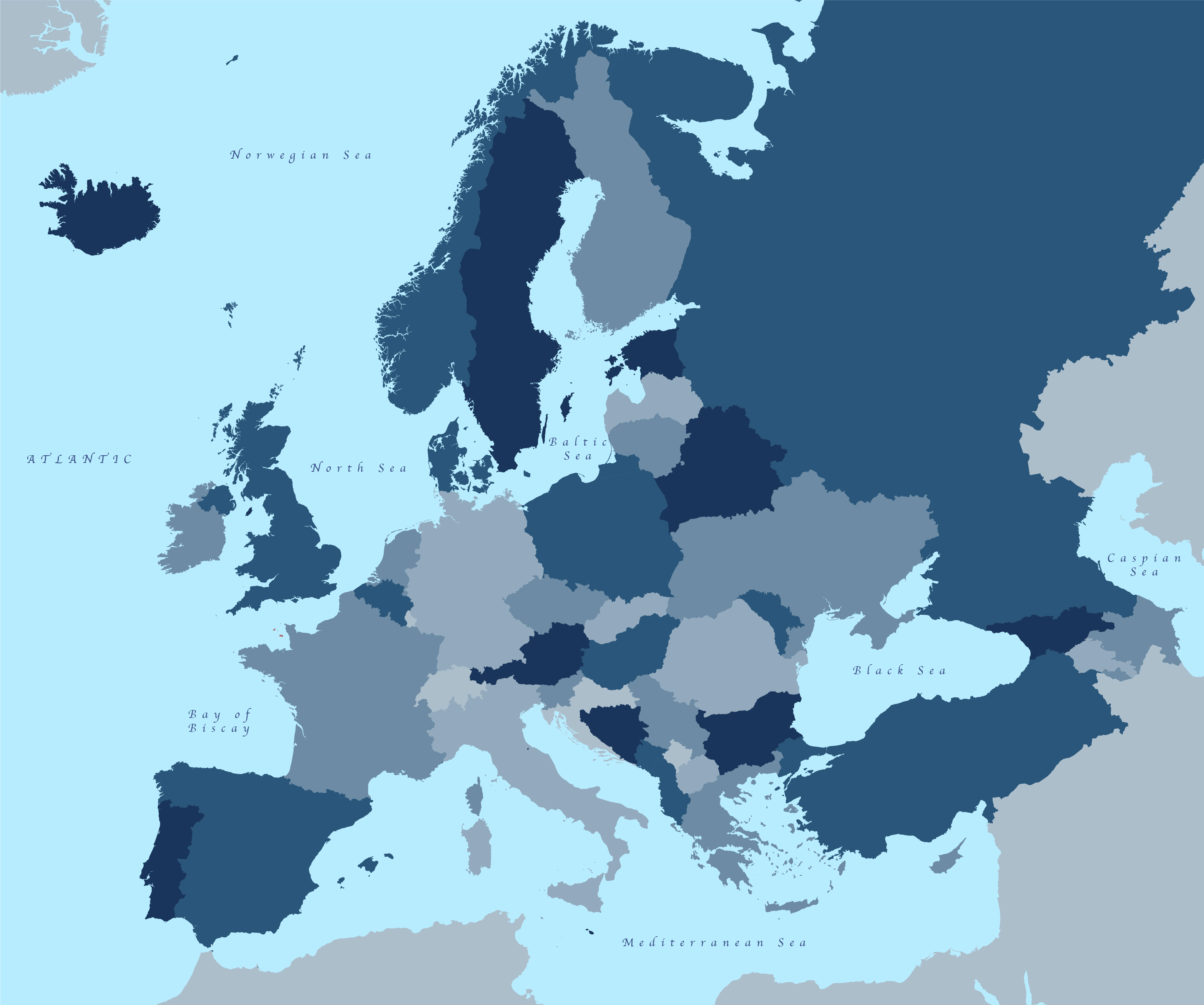
Zoom preview showing full area of coverage (low-resolution)
Pan to zoom / click or tap to switch
Examples of styling in the zoom previews are included as ready to use high-resolution PDF files in the download package. You can edit all colours, fonts and other elements using Adobe Illustrator or other SVG editing software.
Our superbly detailed vector maps of Europe are licensed for commercial uses. Eight PDF versions are included in the download bundle, along with Illustrator and SVG master files built for easy editing, so you can change the colours and scale Europe how you want, add your own labels and use in digital and print projects without any restrictions on print run or page views.
Our EU map base in two stylings, simple and detailed, is also included, making this a versatile and great value download package.
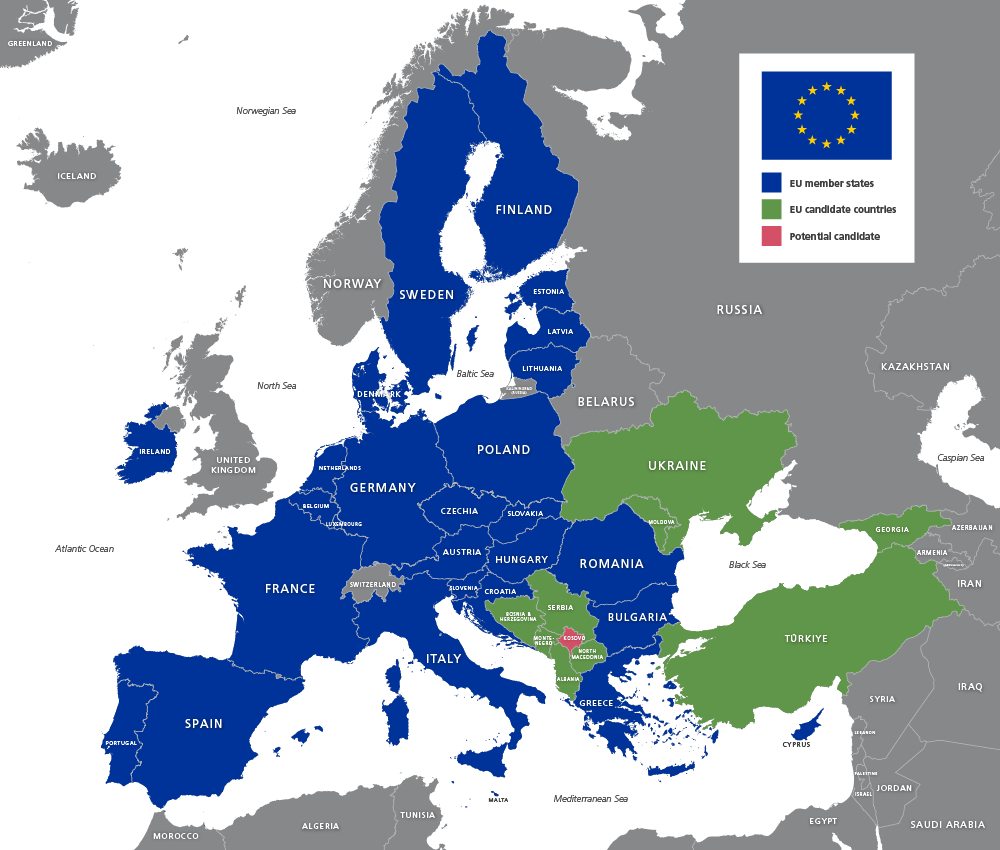
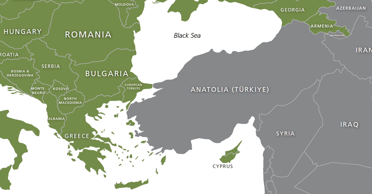
The maps have been updated to reflect geopolitical events such as Türkiye’s official spelling change accepted by the United Nations, and EU candidate status for Ukraine and Moldova. The Crimean peninsula is a discrete entity for editing so that designers can choose whether to show it as annexed by Russia, a conflict zone or still part of Ukraine.
The download package includes:
- Illustrator master files, one with detailed coastlines, one with simple coastlines
- SVG with all country outlines and embedded labels
- 8 high-resolution PDFs
- Country outlines without labels
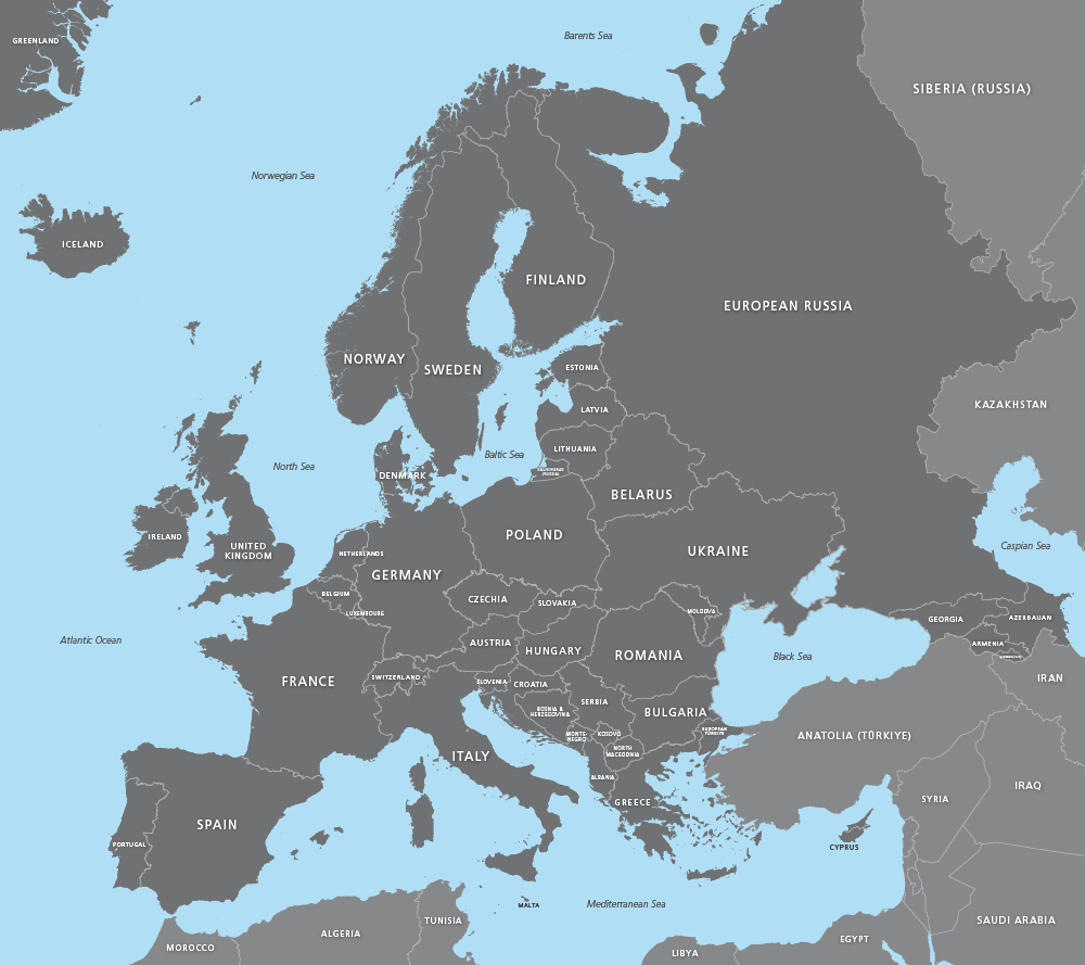
- Labelled countries on simple grey base
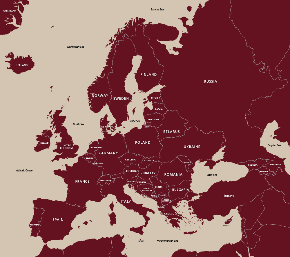
- Labelled countries on simple brick base
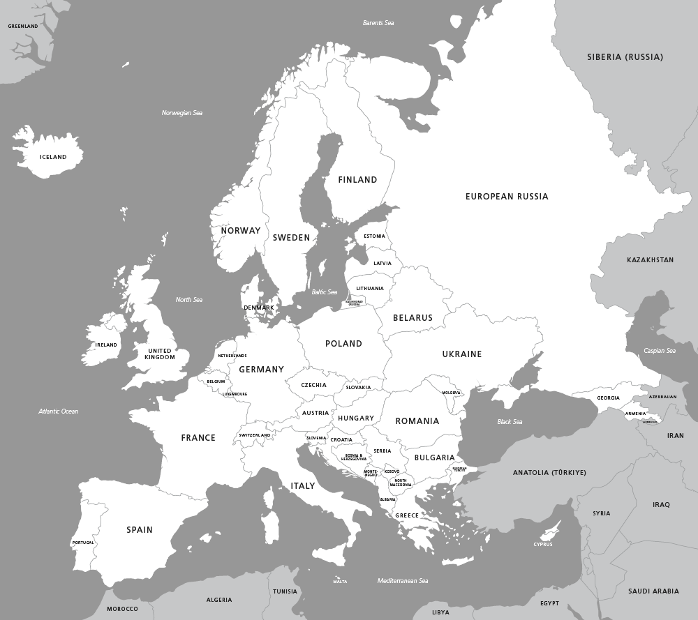
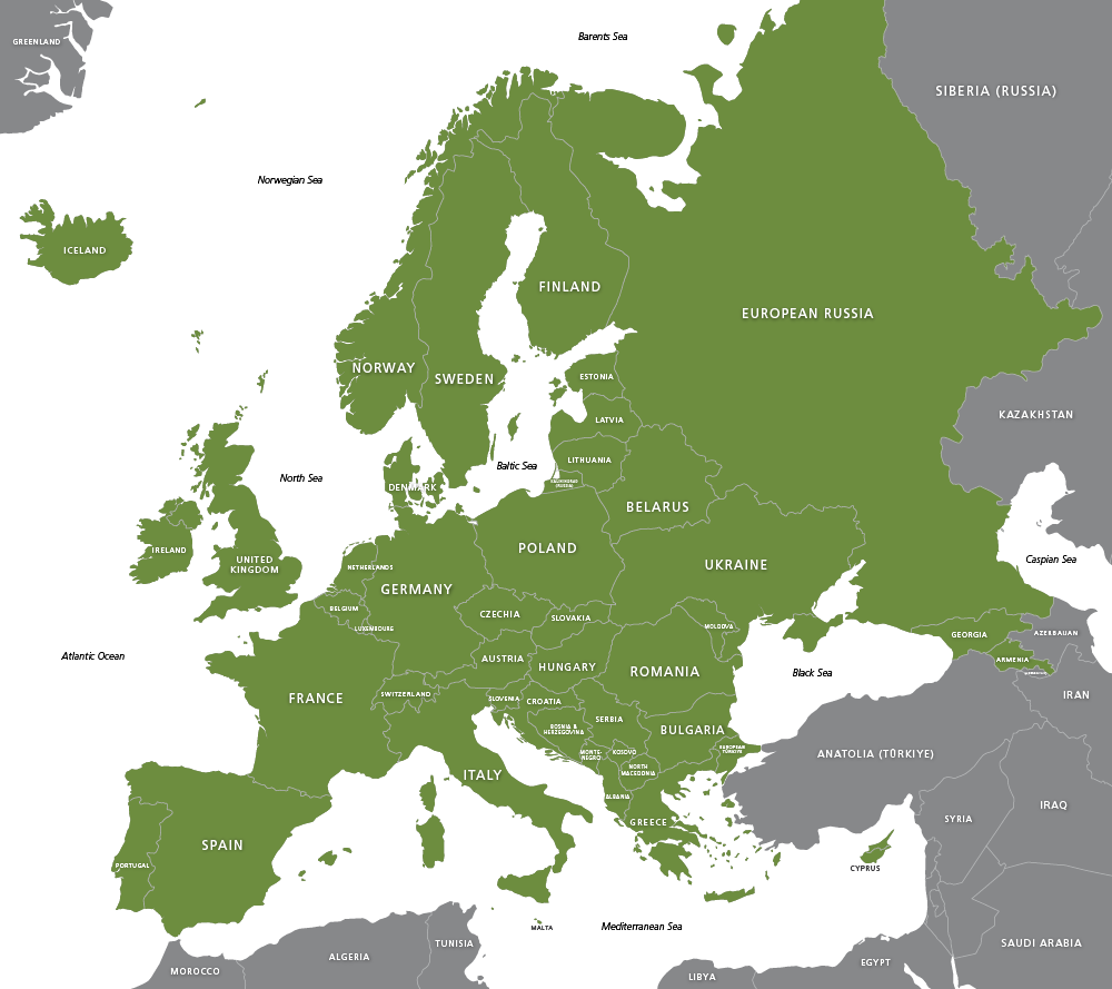
- Labelled polygon highlight of Europe’s full accepted geographical extent, including its westernmost reach to the Ural mountains of Russia
- Simple outlined countries on white base
- Detailed coastlines on grey base
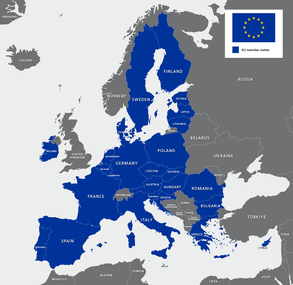
- Simple map of EU states
- Detailed map of EU including candidate countries and potential candidates
Accurate vector paths show all the up-to-date country boundaries. The paths fit together perfectly, like a jigsaw, so that you can highlight any individual country or countries. Scaling will work at any size without any gaps or overlaps between the paths.
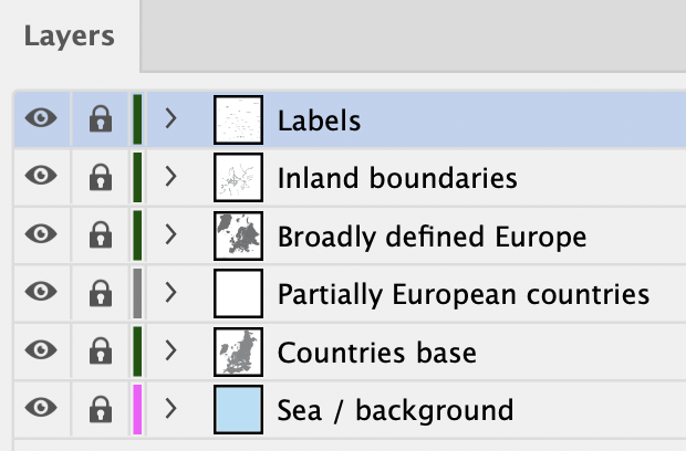
The individual countries each have their own labelled layer in the Illustrator file, which makes them easy to identify and edit. Separate layers contain the map labels for countries and seas. All the main countries are labelled on the map; there are also labelled paths for the mini-states such as Vatican City, San Marino, Andorra, Monaco etc if you want to highlight them. You can turn off the country names with one click of the mouse if you don’t want to show them.
The Europe map includes all the countries that are defined in a broad geographic and cultural sense as European. This includes countries that are only partially in Europe, such as Türkiye (formerly spelt Turkey). One of the PDF versions is coloured specifically to show the geographical extent of Europe.
Specifications
Licensing terms
This editable map base is suitable for commercial and professional uses
See standard royalty free terms for downloadable maps
How to edit
Adobe Illustrator, CorelDRAW, PDF editors etc
See how to edit the downloadable maps
Recommended scaling
Thumbnail to poster size
For more guidance see scaling recommendations
Vector map layers in Illustrator