Showing all 9 results
-

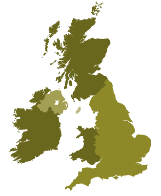
Detailed outline map of Britain and Ireland (British Isles)
£20.00Superb coastline detail with literally hundreds of islands. Scale it from thumbnail up to poster size if you want.
PDFsSVGLayered AI file -
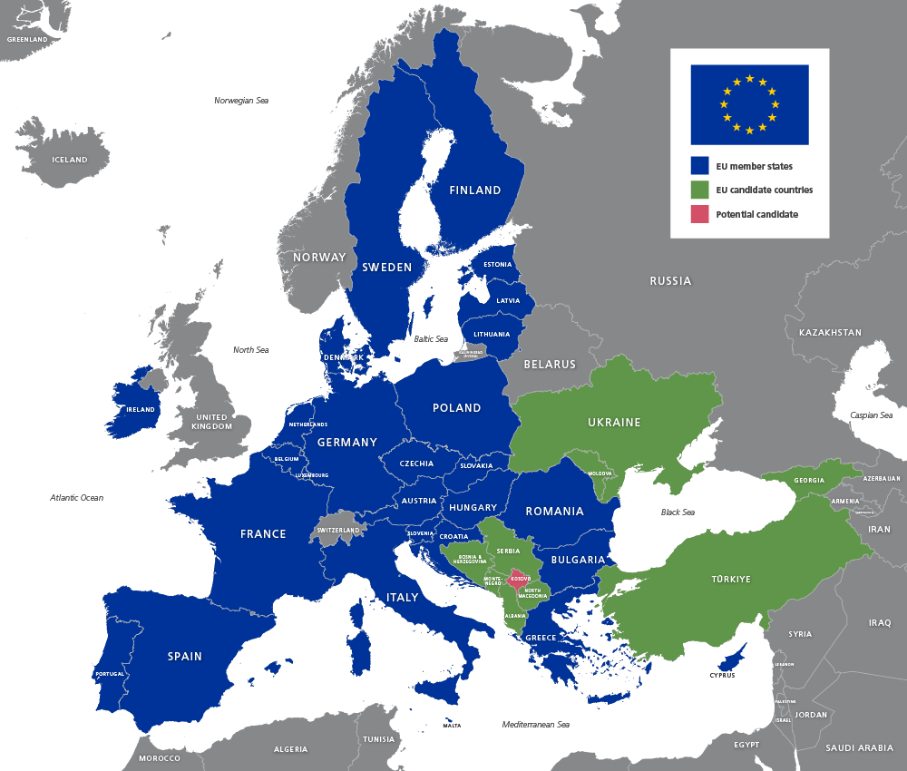
Map of EU countries 2026
£20.00Up-to-date map of the European Union including candidate countries
PDFsSVGLayered AI file -
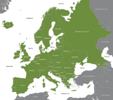
Maps of Europe with country outlines – geographic and political
£25.00Superbly detailed vector maps of Europe with all the individual countries and mini-states. Multiple styles included in the package, including EU states, and a version with finely detailed coastlines, good for zooming. Incredible value.
PDFsSVGLayered AI file -
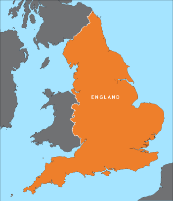
Outline map of England
£15.00A detailed outline map of England, with parts of the surrounding countries for context.
PDFsSVGLayered AI file -
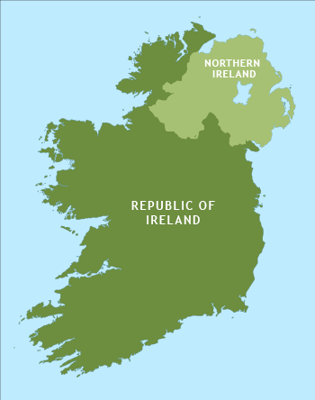
Outline map of Ireland
£15.00An outline map of Ireland with exceptional detail on the coastlines. Includes the border between the Republic and Northern Ireland.
PDFsSVGLayered AI file -
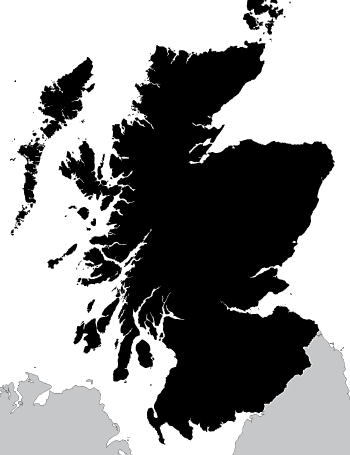
Outline map of Scotland
£15.00A highly detailed outline map of Scotland, with an exceptional number of islands plotted, including many that do not appear on popular online maps!
PDFsSVGLayered AI file -
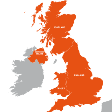
Outline map of the UK / United Kingdom
£20.00A detailed outline map of the UK with paths for the component countries of England, Scotland, Wales and Northern Ireland.
PDFsSVGLayered AI file -
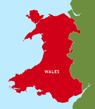
Outline map of Wales
£15.00A detailed outline map of Wales, which shows Anglesey separate from the mainland and includes the little Welsh islands. You can colour it however you want.
PDFsSVGLayered AI file -
Simple outline map of Britain and Ireland
£15.00A simple outline map of Britain and Ireland with the main islands of the British Isles. Looks elegant and accurate when used as a small image up to about A5.
PDFsSVGLayered AI file