Outline map of the UK / United Kingdom
Downloadable royalty free vector artwork High-resolution PDFsSVGLayered Adobe Illustrator filePrice £20.00
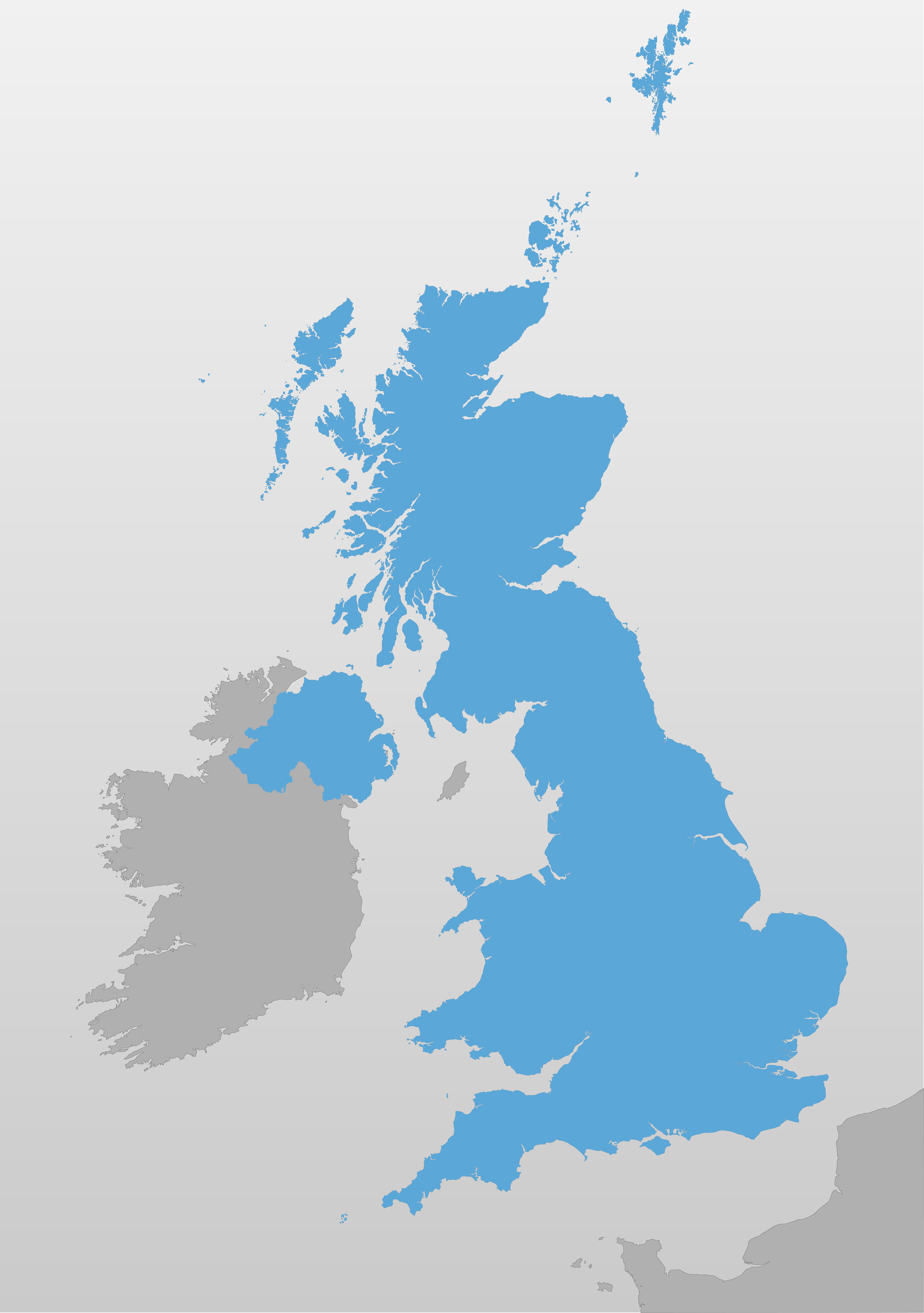
Zoom preview showing full area of coverage (low-resolution)

Pan to zoom / click or tap to switch
Examples of styling in the zoom previews are included as ready to use high-resolution PDF files in the download package. You can edit all colours, fonts and other elements using Adobe Illustrator or other SVG editing software.
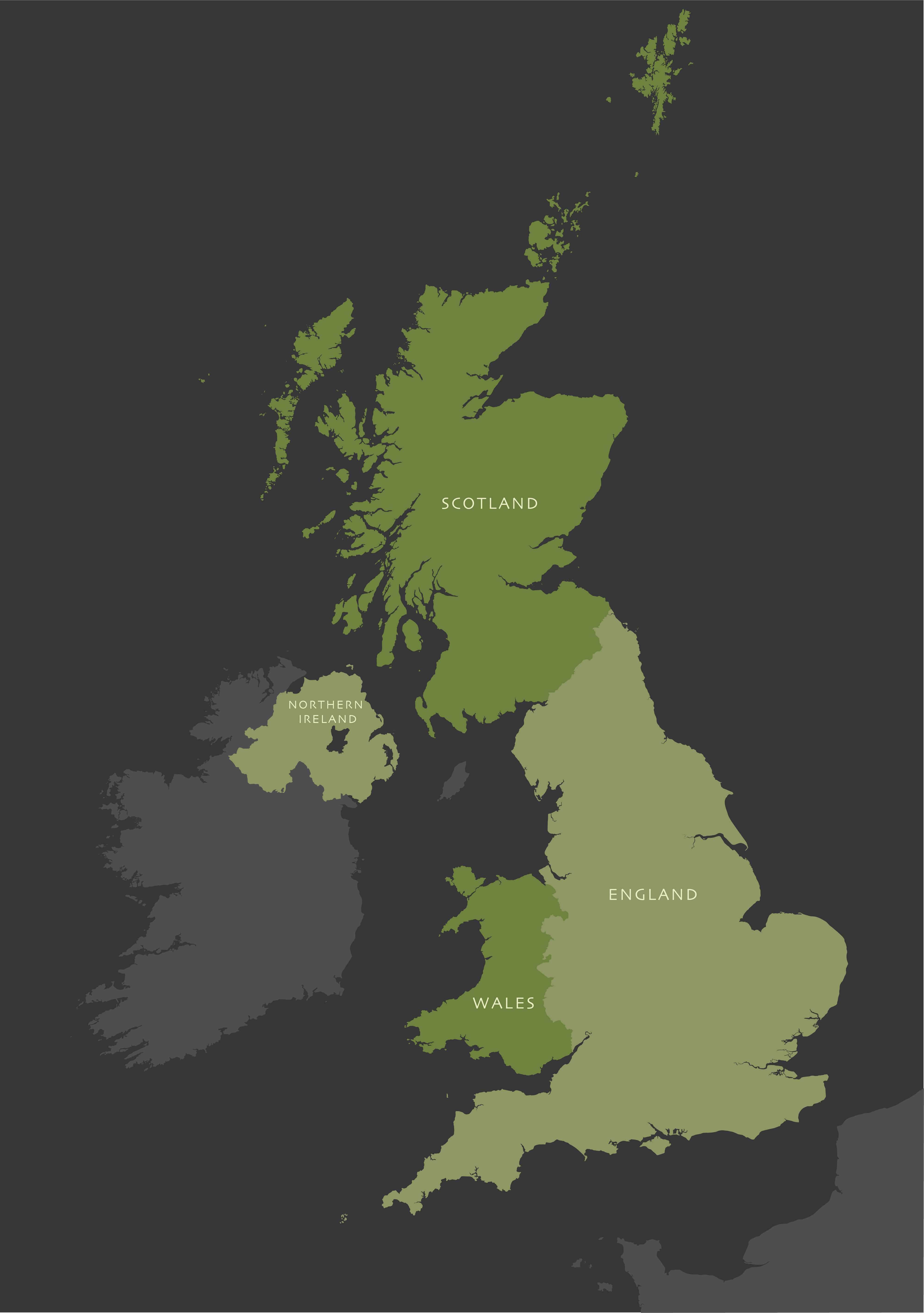
This outline map of the UK can be scaled at anything from thumbnail up to poster size.
It has superb coastline detail that includes literally hundreds of islands off the UK mainland. Even far-flung St Kilda is plotted, along with islands that are otherwise often shown as part of the mainland, such as the Isle of Anglesey in Wales. We know of no other vector base map of the UK that has anything like as much detail and accuracy to its coastlines for this price.
Paths have been drawn so that you can easily colour or highlight the component countries of the UK — England, Scotland, Wales and Northern Ireland. The surrounding countries are also shown for context.
Specifications
Price £20.00
Product code: MR120
Licensing terms
This editable map base is suitable for commercial and professional uses
See standard royalty free terms for downloadable maps
How to edit
Adobe Illustrator, CorelDRAW, PDF editors etc
See how to edit the downloadable maps
Recommended scaling
Thumbnail to poster size
For more guidance see scaling recommendations