Showing all 14 results
-

UK Local Authorities + Postcodes Map from April 2023
£60.00UK Local Authorities juxtaposed with postcodes districts, plus a Limited Free Pass for the Dynamic Mapping Suite giving access to online Local Authority maps and mapping tools.
PDFSVGLayered AI file -
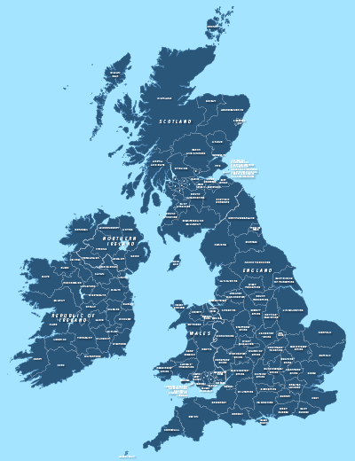
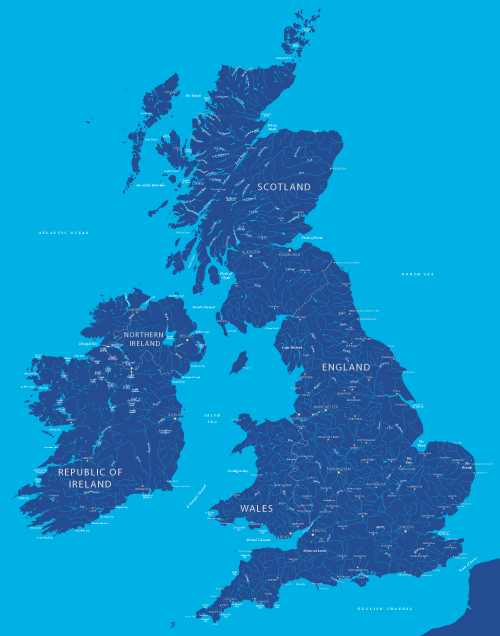
County maps of Britain and Ireland
£45.00Shows all the counties of Britain and Ireland and includes option layers for changing the colour fills and showing county boundaries.
PDFsSVGLayered AI file -
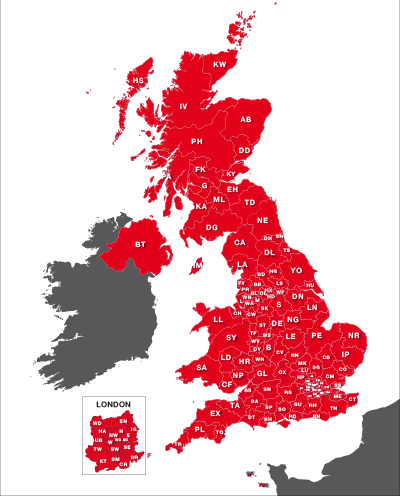
Maps of UK postcode areas
£20.00All the UK two-character postcode areas – 124 areas in total – in five ready-to-use PDF styles, plus access to dynamic postcodes. A bestselling bundle!
PDFsSVGLayered AI file -
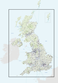
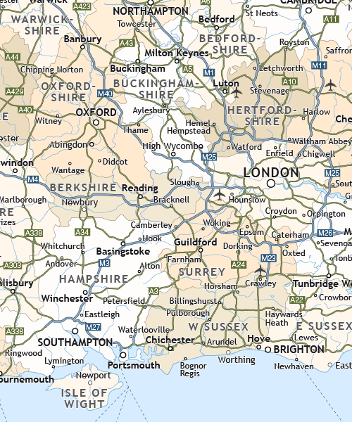
Best detailed map base of the UK / United Kingdom
£75.00This highly detailed base map of the UK has 1,850 town points, 5,500 roads, admin boundaries and a wealth of natural features. Altogether there are more than 4.29 million vector anchor points making this a superb resource for professional designers.
PDFsSVGLayered AI file -
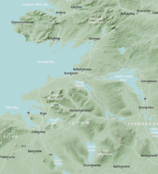
Britain and Ireland physical map with hillshading / relief layer (high-resolution)
£60.00Detailed map of Britain and Ireland with a hillshading / relief layer giving a beautiful sculpted backdrop for the landmass. Every part of the map is editable and suitable for high-resolution professional printing up to A0 poster size.
PDFsSVGLayered AI file -

Detailed outline map of Britain and Ireland (British Isles)
£20.00Superb coastline detail with literally hundreds of islands. Scale it from thumbnail up to poster size if you want.
PDFsSVGLayered AI file -
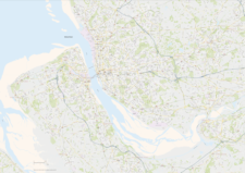
Liverpool Street Maps
£60.00Street maps of Liverpool city centre and environs taking in the whole Wirral Peninsula, Ellesmere Port, Liverpool Airport, Runcorn, Frodsham, Widnes, St Helens, Haydock, Kirkby, Bootle and Crosby
PDFsSVGLayered AI file -

Map of Britain and Ireland with cities and roads
£25.00A great value map showing the cities, major towns and arterial routes of Britain and Ireland.
PDFsSVGLayered AI file -
Map of British and Irish rivers and lakes
£20.00Hundreds of lakes and rivers, plus coastal features. Good for educational materials and water-activity themes.
PDFsSVGLayered AI file -
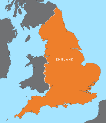
Outline map of England
£15.00A detailed outline map of England, with parts of the surrounding countries for context.
PDFsSVGLayered AI file -
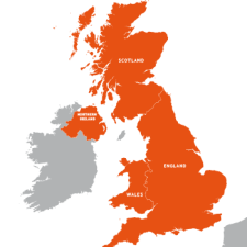
Outline map of the UK / United Kingdom
£20.00A detailed outline map of the UK with paths for the component countries of England, Scotland, Wales and Northern Ireland.
PDFsSVGLayered AI file -
Political map of England
£40.00Shows all the counties of England, plus the principal towns and transport network.
PDFsSVGLayered AI file -
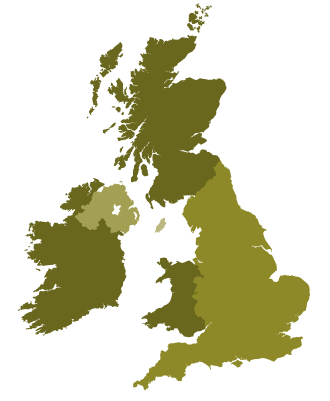
Simple outline map of Britain and Ireland
£15.00A simple outline map of Britain and Ireland with the main islands of the British Isles. Looks elegant and accurate when used as a small image up to about A5.
PDFsSVGLayered AI file -

Touring / physical map of Britain and Ireland (low-resolution)
£30.00Perfect for tourist industry projects with its coastal features, lakes, rivers, national parks, historic towns and resorts.
PDFsSVGLayered AI file