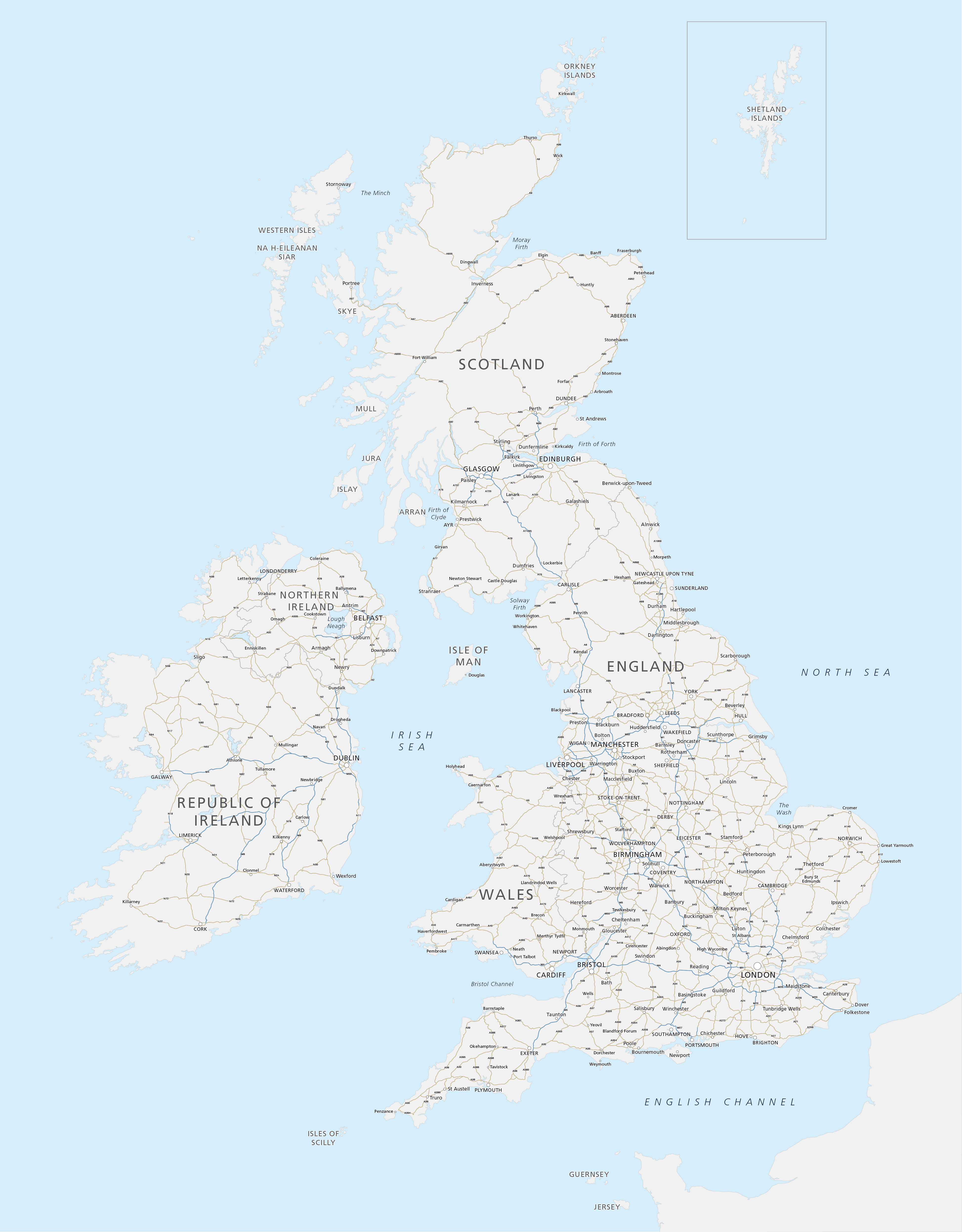
Map of Britain and Ireland with cities and roads
Downloadable royalty free vector artwork High-resolution PDFsSVGLayered Adobe Illustrator filePrice £25.00
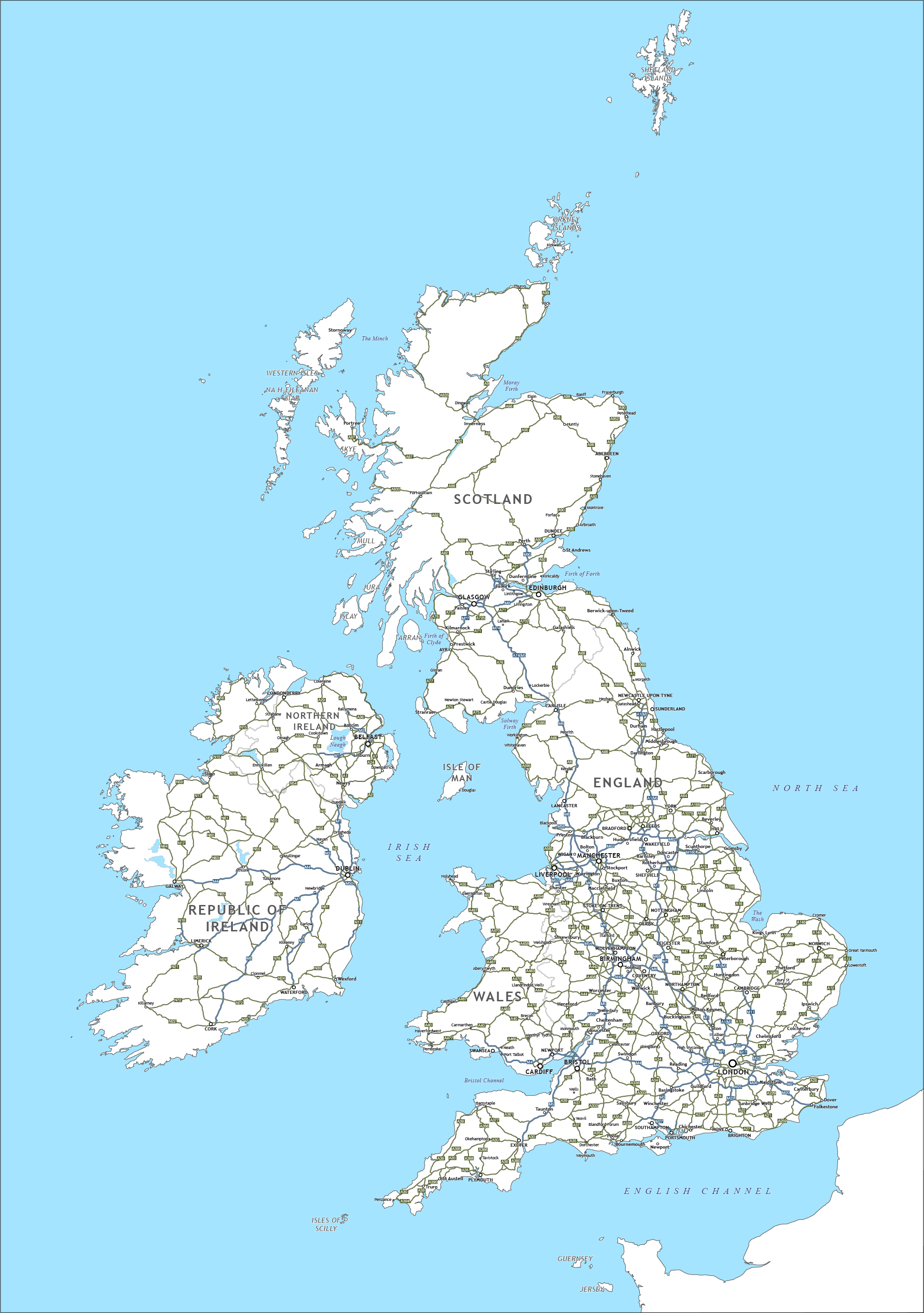
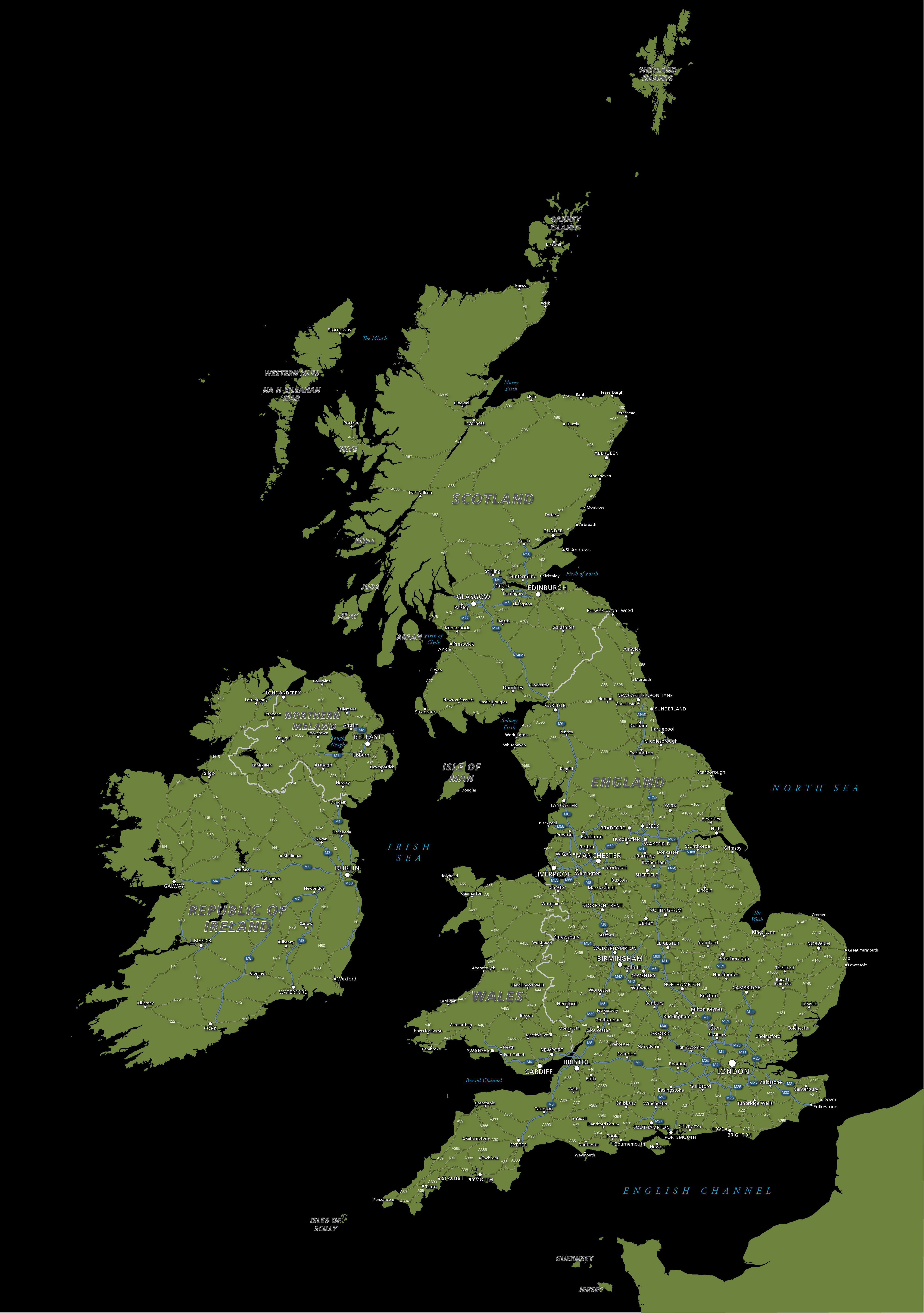
Zoom preview showing full area of coverage (low-resolution)

Pan to zoom / click or tap to switch
Examples of styling in the zoom previews are included as ready to use high-resolution PDF files in the download package. You can edit all colours, fonts and other elements using Adobe Illustrator or other SVG editing software.
A versatile editable map with our excellent detailed coastlines and the cities, major towns and arterial roads of Britain and Ireland.
This is a good base map for many purposes and exceptional value for money. Change the colours and scale it to whatever you want.

Want more detail?
For many more place names and rich details, go to the best detailed map base of the UK and best detailed map of Ireland.
Specifications
Licensing terms
This editable map base is suitable for commercial and professional uses
See standard royalty free terms for downloadable maps
How to edit
Adobe Illustrator, CorelDRAW, PDF editors etc
See how to edit the downloadable maps
Recommended scaling
A5 up to poster size at 100%
For more guidance see scaling recommendations
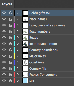
Vector map layers in Illustrator