Showing all 5 results
-
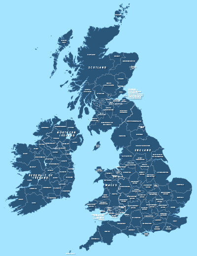
County maps of Britain and Ireland
£45.00Shows all the counties of Britain and Ireland and includes option layers for changing the colour fills and showing county boundaries.
PDFsSVGLayered AI file -

Detailed outline map of Britain and Ireland (British Isles)
£20.00Superb coastline detail with literally hundreds of islands. Scale it from thumbnail up to poster size if you want.
PDFsSVGLayered AI file -
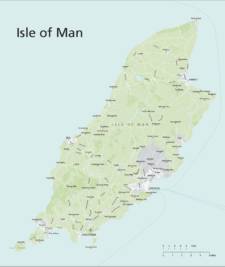
Isle of Man maps
£20.00Maps of the Isle of Man with editable layers for roads, urban background, green areas, rivers, ferry routes and more. The bundle includes the IM postcode districts map version.
PDFsSVGLayered AI file -

Map of Britain and Ireland with cities and roads
£25.00A great value map showing the cities, major towns and arterial routes of Britain and Ireland.
PDFsSVGLayered AI file -
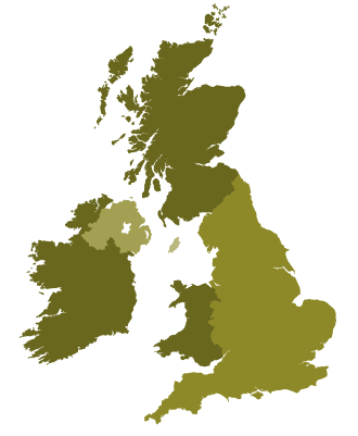
Simple outline map of Britain and Ireland
£15.00A simple outline map of Britain and Ireland with the main islands of the British Isles. Looks elegant and accurate when used as a small image up to about A5.
PDFsSVGLayered AI file