Touring / physical map of Britain and Ireland (low-resolution)
Downloadable royalty free vector artwork High-resolution PDFsSVGLayered Adobe Illustrator filePrice £30.00
Zoom preview showing full area of coverage (low-resolution)
Pan to zoom / click or tap to switch
Examples of styling in the zoom previews are included as ready to use high-resolution PDF files in the download package. You can edit all colours, fonts and other elements using Adobe Illustrator or other SVG editing software.
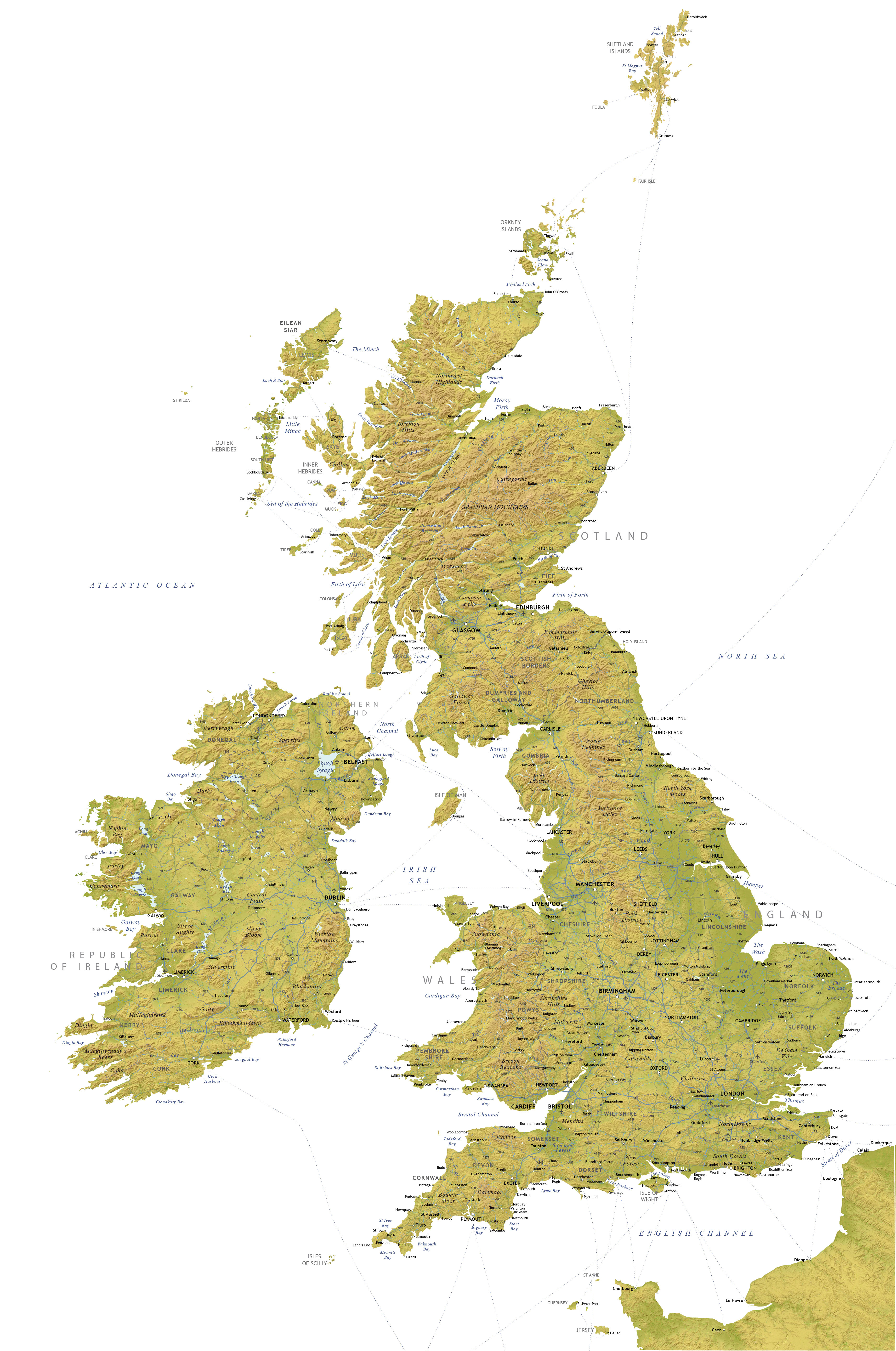
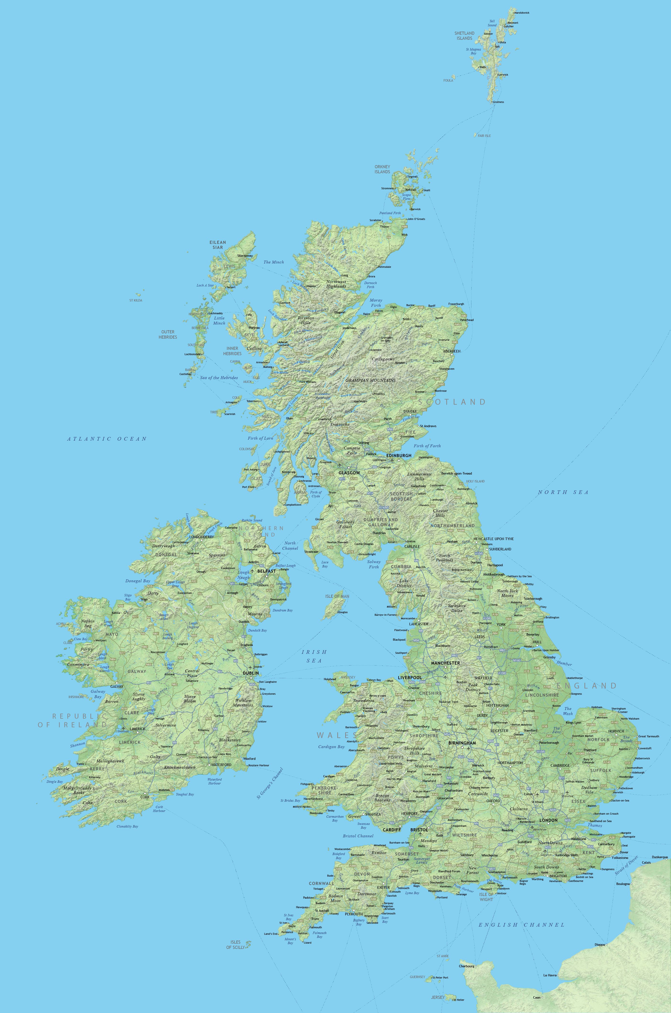
The low-resolution touring / physical map of the British Isles focuses on holiday and leisure places. Historic towns such as Cambridge and Bath are plotted, along with seaside resorts and popular areas of natural beauty.
Principal roads and ferry routes are all included, as are hundreds of rivers and lakes.
County boundaries are shown, and you also have a choice of using the hillshading layer or flat colours as the base. Every layer can be edited to suit your own purposes.

This map is suitable for screen use or small scale printing, e.g. A4. It is not suitable for poster printing or deep zooming.
We also sell a more detailed high-resolution physical map of Britain and Ireland which can be printed much bigger than this low-resolution map. It is more expensive but also includes the low-resolution map in the bundle.
Specifications
Price £30.00
Product code: MR106
Licensing terms
This editable map base is suitable for commercial and professional uses
See standard royalty free terms for downloadable maps
How to edit
Adobe Illustrator, CorelDRAW, PDF editors etc
See how to edit the downloadable maps
Recommended scaling
Approx. A5 - A4
For more guidance see scaling recommendations