
Showing all 3 results
-

Touring / physical map of Britain and Ireland (low-resolution)
£30.00Perfect for tourist industry projects with its coastal features, lakes, rivers, national parks, historic towns and resorts.
PDFsSVGLayered AI file -
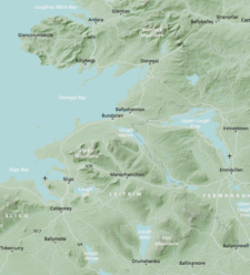
Britain and Ireland physical map with hillshading / relief layer (high-resolution)
£60.00Detailed map of Britain and Ireland with a hillshading / relief layer giving a beautiful sculpted backdrop for the landmass. Every part of the map is editable and suitable for high-resolution professional printing up to A0 poster size.
PDFsSVGLayered AI file -
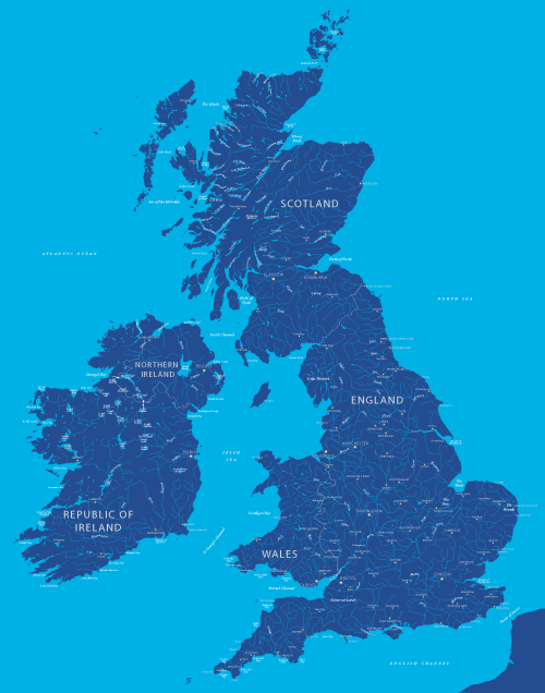
Maps of British and Irish rivers and lakes
£80.0010,000 rivers and canals, plus about 1,000 lakes, lochs and loughs of Britain and Ireland. Good for educational materials and water-activity themes.
PDFsSVGLayered AI file