Outline map of England
Downloadable royalty free vector artwork High-resolution PDFsSVGLayered Adobe Illustrator filePrice £15.00
Zoom preview showing full area of coverage (low-resolution)


Pan to zoom / click or tap to switch
Examples of styling in the zoom previews are included as ready to use high-resolution PDF files in the download package. You can edit all colours, fonts and other elements using Adobe Illustrator or other SVG editing software.
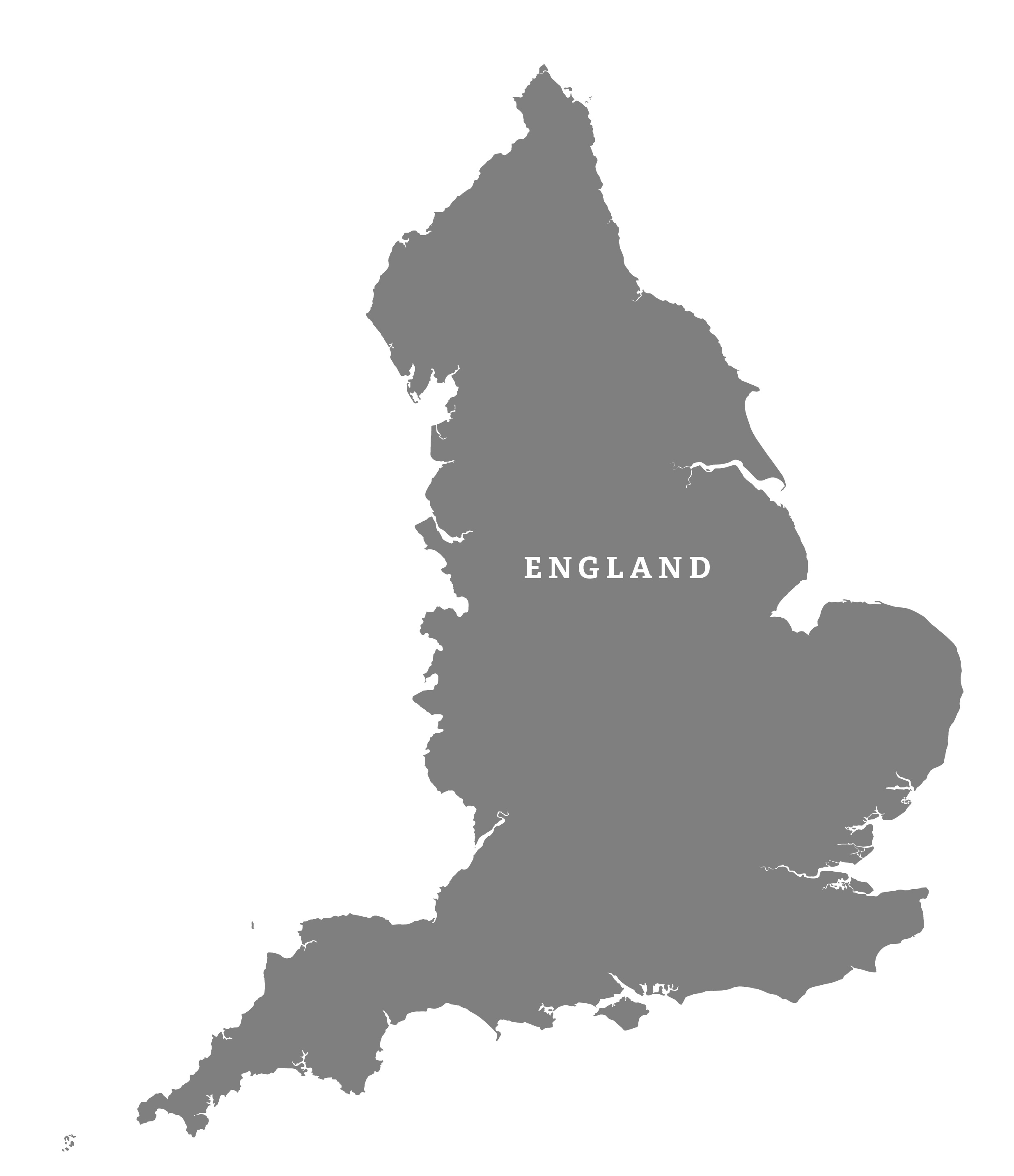
The outline map of England includes details often missed on maps, such as the Isles of Scilly, Lundy Island and even the islands of Kent and Essex.
The surrounding countries are shown for context, with boundary layers so that you can select the different elements and colour (or hide) them as you please.
The map is suitable for scaling at anything from thumbnail to poster size.
Specifications
Licensing terms
This editable map base is suitable for commercial and professional uses
See standard royalty free terms for downloadable maps
How to edit
Adobe Illustrator, CorelDRAW, PDF editors etc
See how to edit the downloadable maps
Recommended scaling
Thumbnail to poster size
For more guidance see scaling recommendations