Outline map of Ireland
Downloadable royalty free vector artwork High-resolution PDFsSVGLayered Adobe Illustrator filePrice £15.00
Zoom preview showing full area of coverage (low-resolution)
Pan to zoom / click or tap to switch
Examples of styling in the zoom previews are included as ready to use high-resolution PDF files in the download package. You can edit all colours, fonts and other elements using Adobe Illustrator or other SVG editing software.
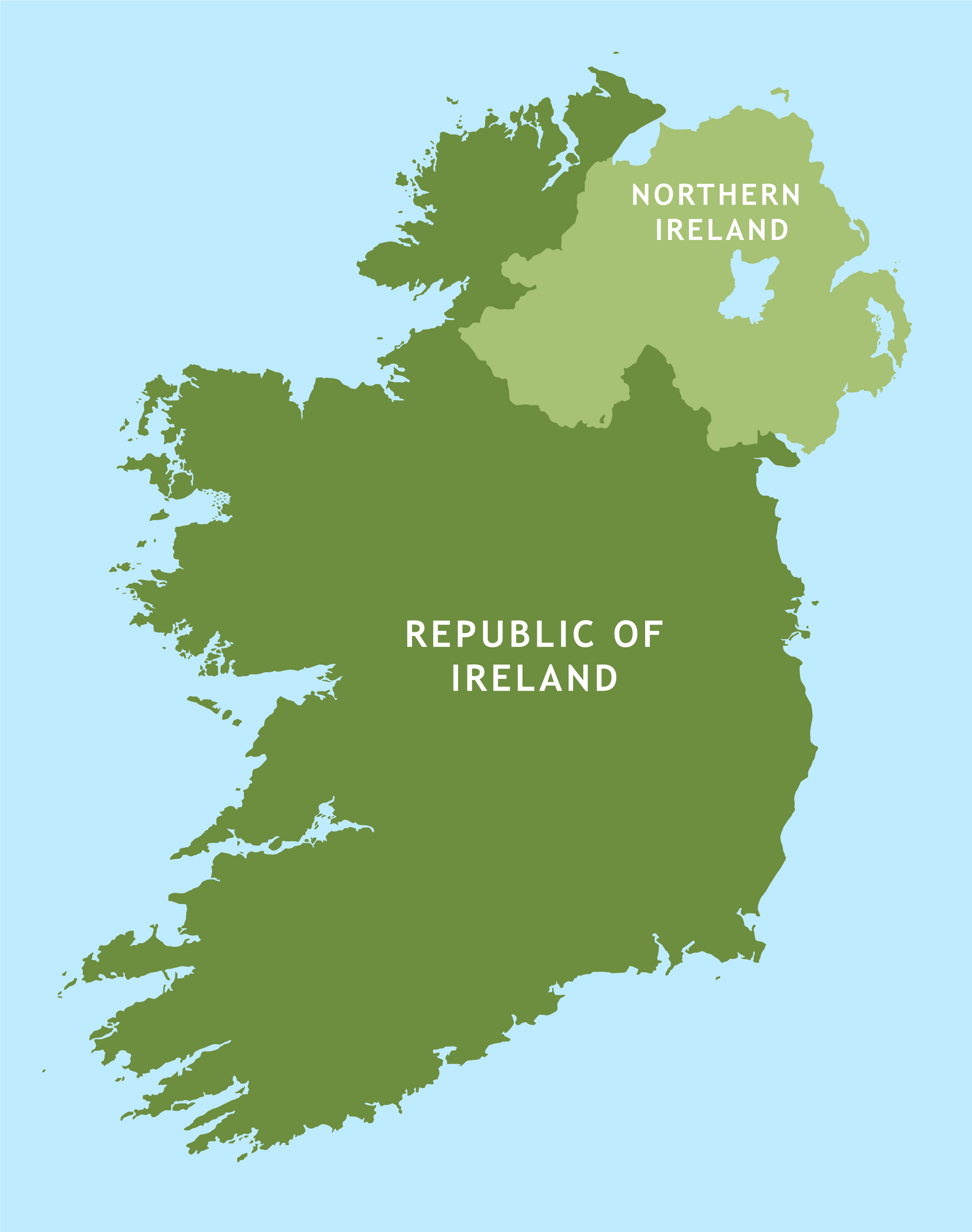
A highly detailed outline map of Ireland, with many west coast islands plotted, including some that do not appear on sources such as Google maps!
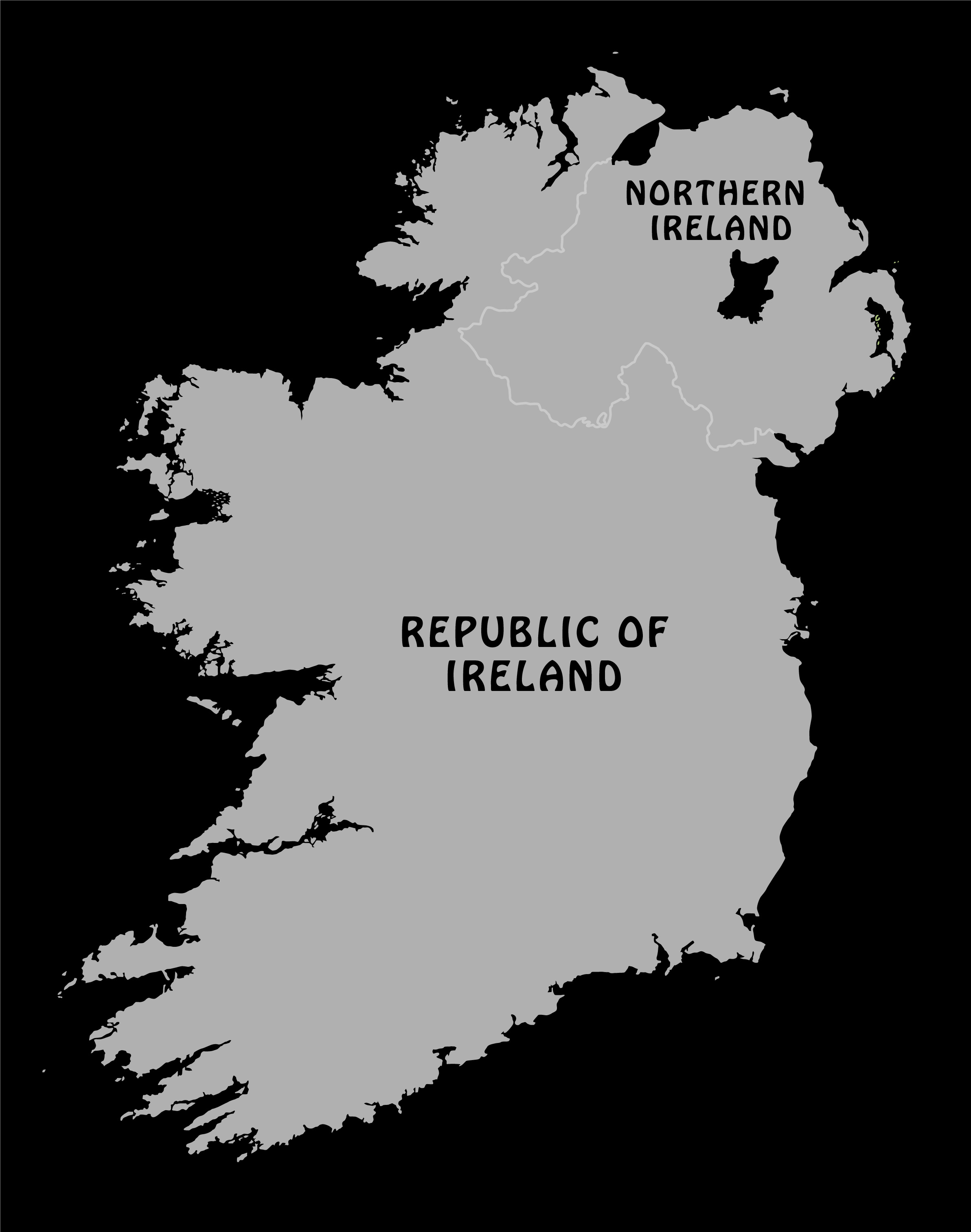
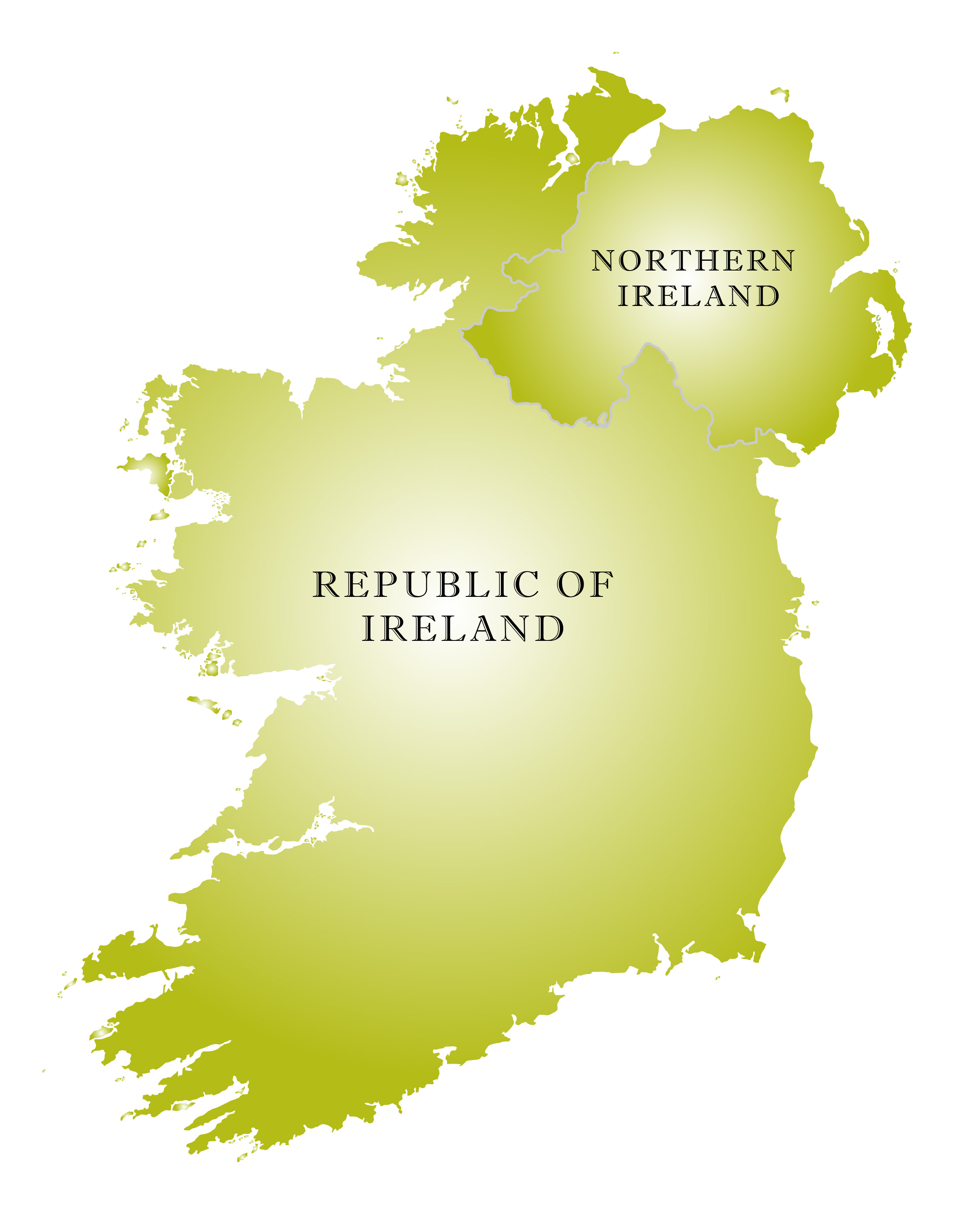
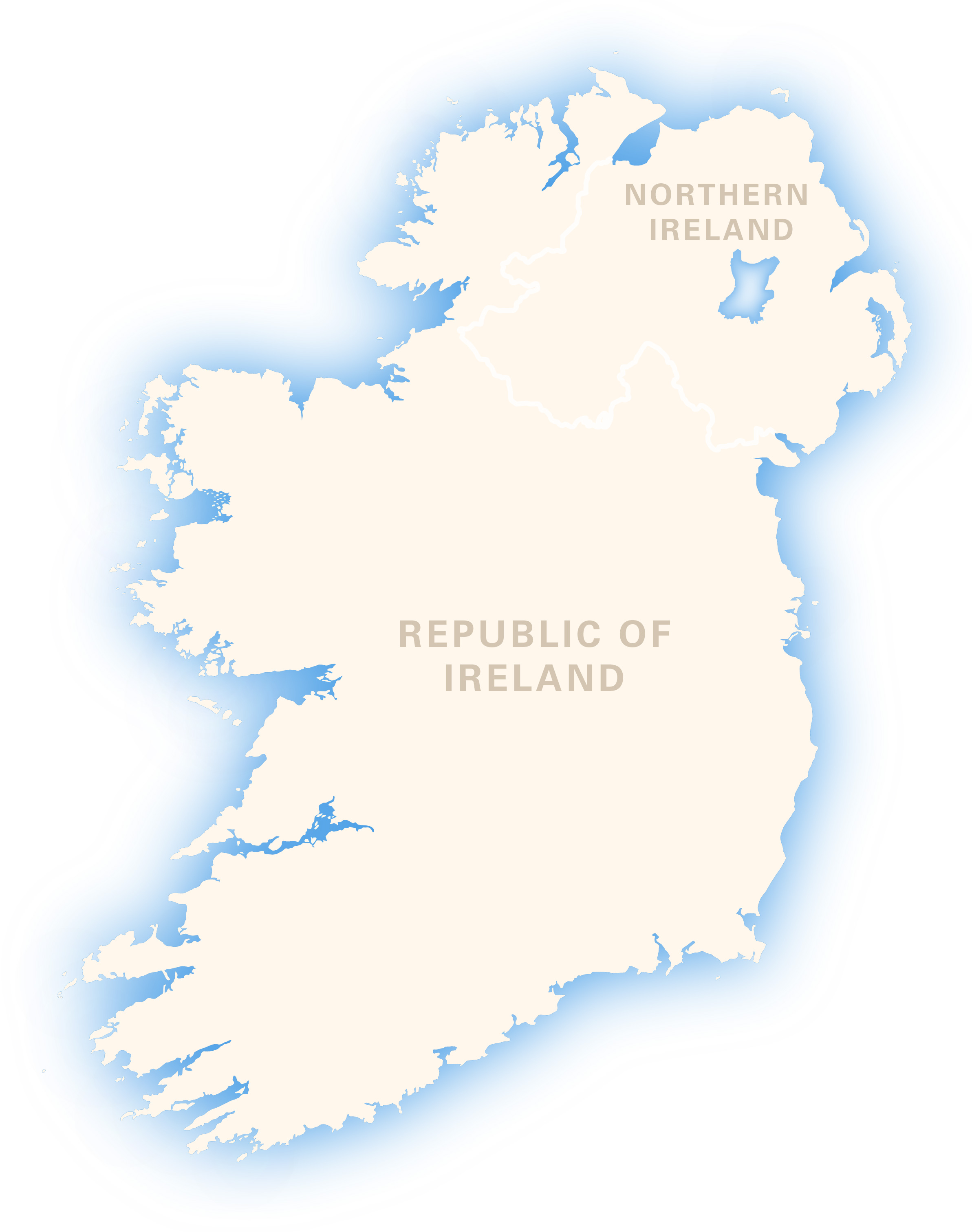
You can colour it however you want, and the scaling will work at anything from thumbnail to poster size.
The boundary between the Republic and Northern Ireland is included if you want the option to show the two countries.
Specifications
Licensing terms
This editable map base is suitable for commercial and professional uses
See standard royalty free terms for downloadable maps
How to edit
Adobe Illustrator, CorelDRAW, PDF editors etc
See how to edit the downloadable maps
Recommended scaling
Thumbnail to poster size
For more guidance see scaling recommendations