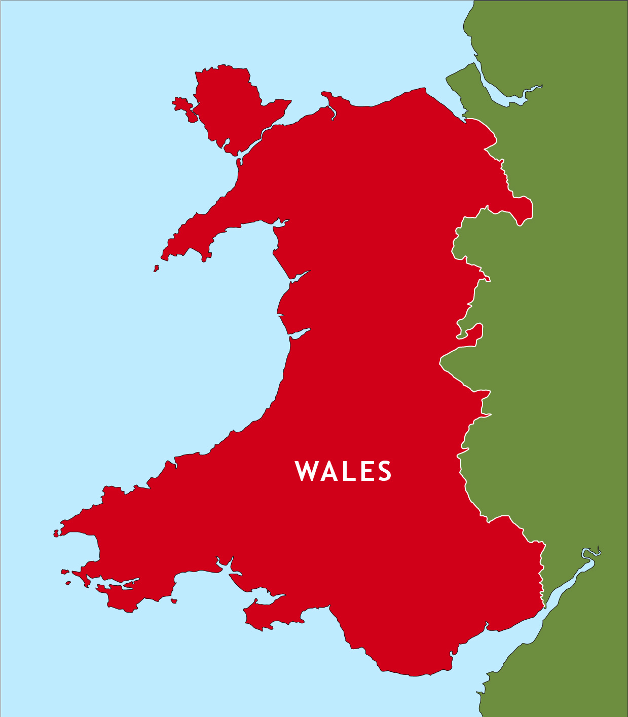
Outline map of Wales
Downloadable royalty free vector artwork High-resolution PDFsSVGLayered Adobe Illustrator filePrice £15.00
Zoom preview showing full area of coverage (low-resolution)
Pan to zoom / click or tap to switch
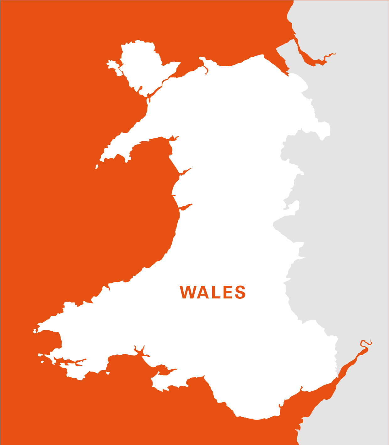
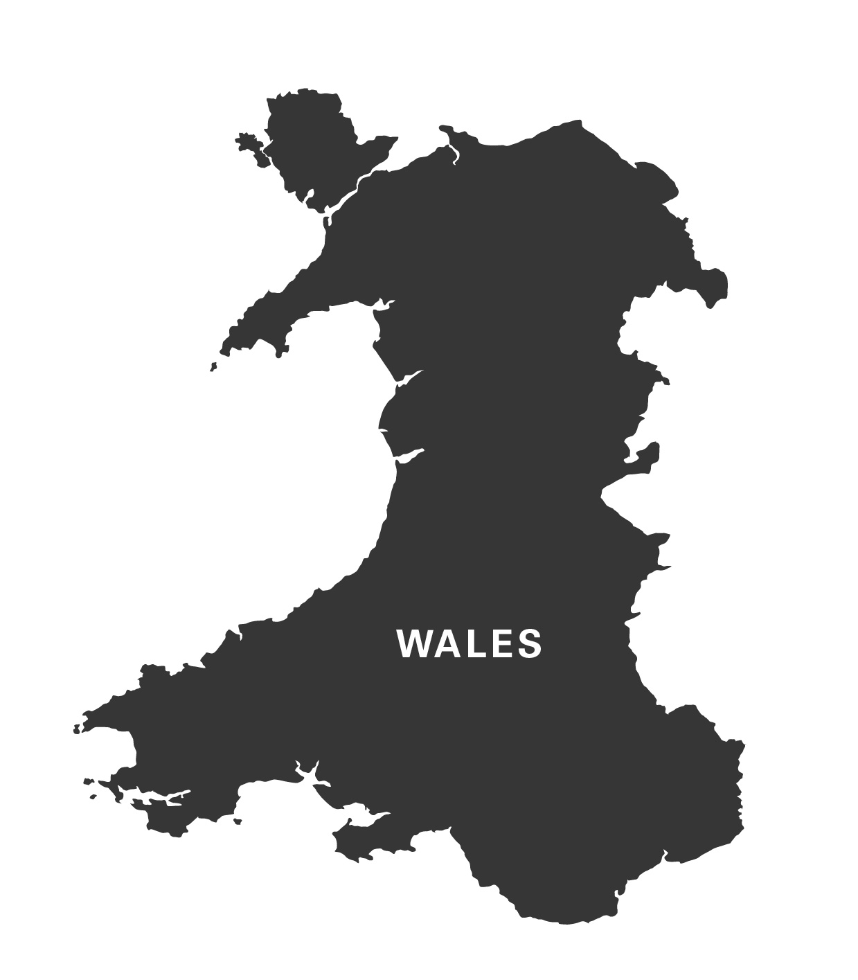
Examples of styling in the zoom previews are included as ready to use high-resolution PDF files in the download package. You can edit all colours, fonts and other elements using Adobe Illustrator or other SVG editing software.
A detailed outline map of Wales, which shows Anglesey separate from the mainland and includes the little Welsh islands. You can colour it however you want.
Part of England is shown for context, which you can select and shade too, or delete if you want to show Wales on its own.
Specifications
Licensing terms
This editable map base is suitable for commercial and professional uses
See standard royalty free terms for downloadable maps
How to edit
Adobe Illustrator, CorelDRAW, PDF editors etc
See how to edit the downloadable maps
Recommended scaling
Thumbnail to poster size
For more guidance see scaling recommendations