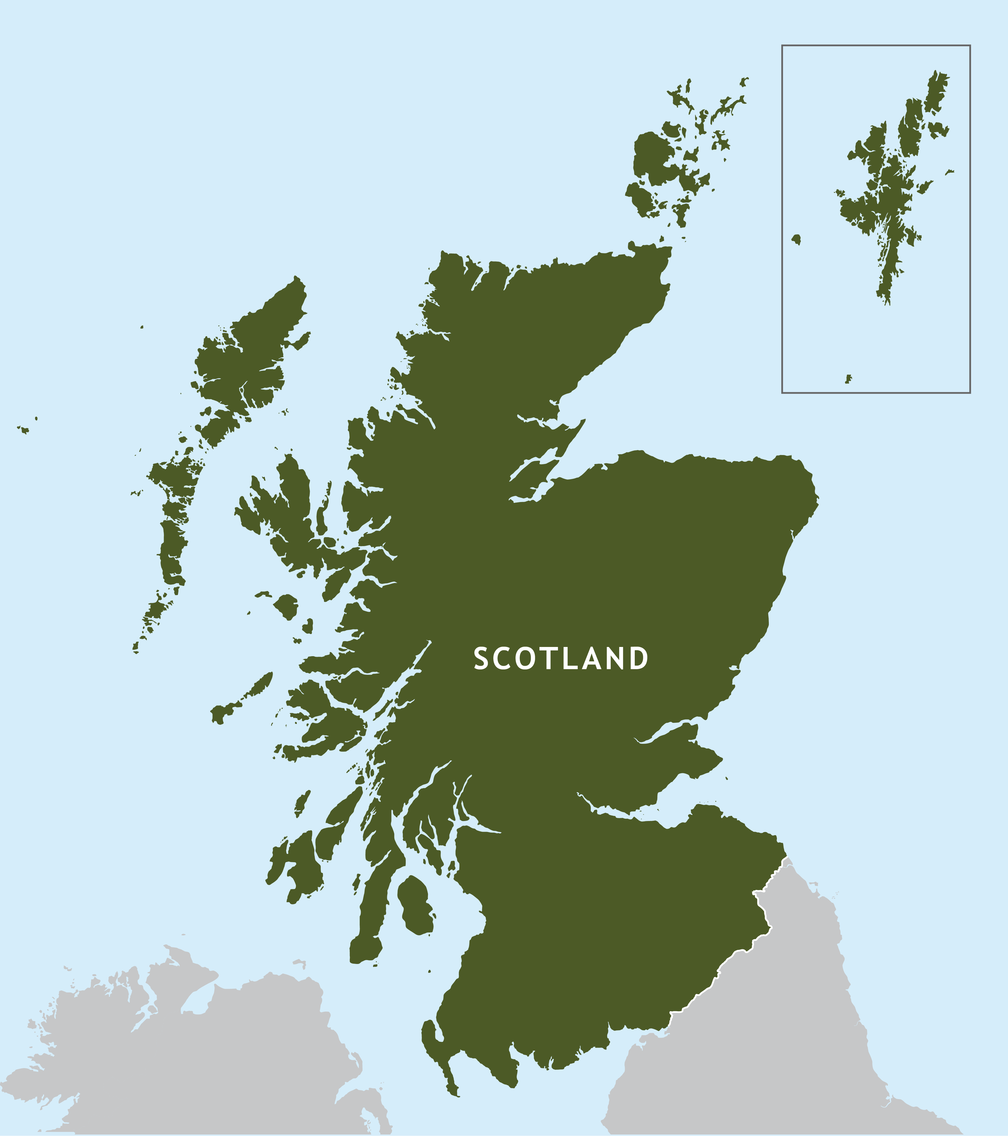
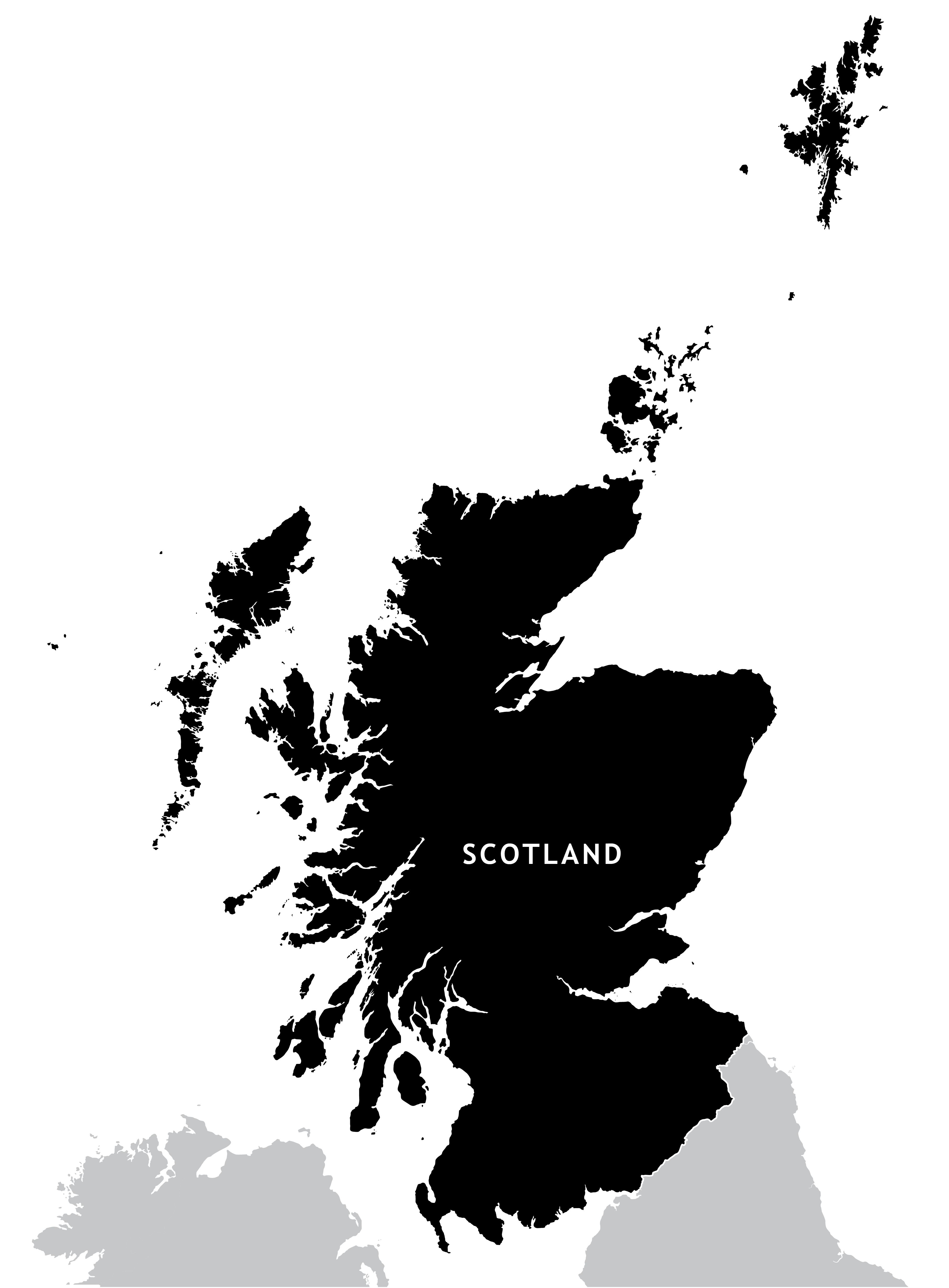
Outline map of Scotland
Downloadable royalty free vector artwork High-resolution PDFsSVGLayered Adobe Illustrator filePrice £15.00
Zoom preview showing full area of coverage (low-resolution)
Pan to zoom / click or tap to switch
Examples of styling in the zoom previews are included as ready to use high-resolution PDF files in the download package. You can edit all colours, fonts and other elements using Adobe Illustrator or other SVG editing software.
A highly detailed outline map of Scotland, with an exceptional number of islands plotted, including Shetland, Foula, St Kilda and many that do not appear on popular online maps (e.g. Google Maps, Bing).
You can colour it however you want, and the scaling will work at anything from thumbnail to poster size.
Parts of England and Ireland are shown for context, which you can select and shade too. Or you can hide those layers with a couple of clicks.
We’ve also offer an option for Shetland to display it in its natural position or move down to display in an inset box if you want to crop out half of all that sea!
NOTE: 4 October 2018. This map has been used by the BBC today as an example of the common practice of displaying Shetland in a box. The Islands (Scotland) Bill now bars public bodies from putting Shetland in a box on official documents. See BBC story here and our blog post: Displaying Shetland in a box on maps is now banned by law on official documents. Seriously.
Specifications
Licensing terms
This editable map base is suitable for commercial and professional uses
See standard royalty free terms for downloadable maps
How to edit
Adobe Illustrator, CorelDRAW, PDF editors etc
See how to edit the downloadable maps
Recommended scaling
Thumbnail to poster size
For more guidance see scaling recommendations