Interactive map of Birmingham Clean Air Zone with postcodes
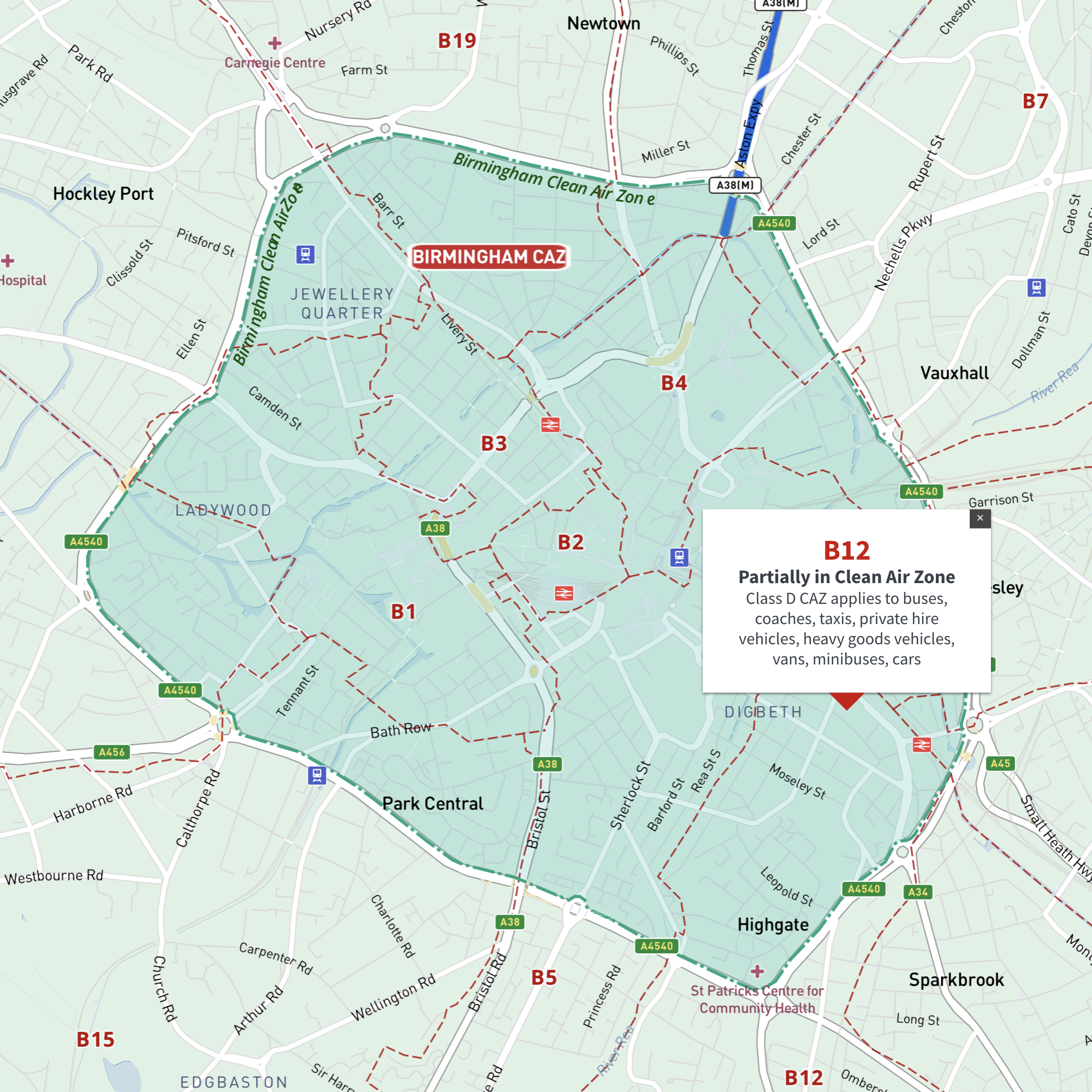
Birmingham’s Clean Air Zone has daily charges for non-compliant vehicles.
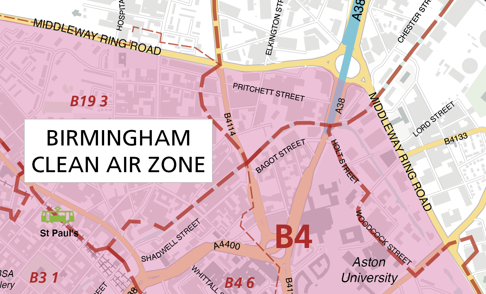
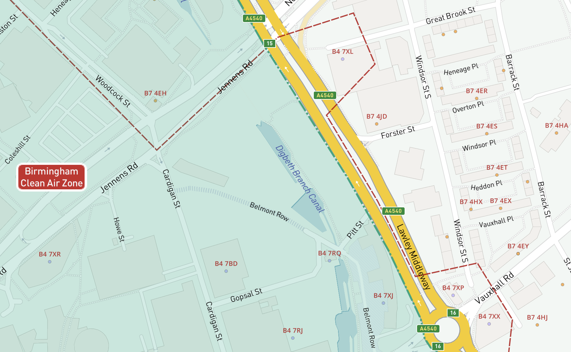
Maproom’s Dynamic Mapping Suite includes an interactive map with every postcode centroid juxtaposed with Birmingham’s Clean Air Zone, together with postcode search. No other map of the Birmingham Clean Air Zone shows as much detail for business postcode planning.
Video showing how to identify postcodes in Birmingham’s Clean Air Zone using the detailed interactive online map
Information about the Clean Air Zone charges is on the Birmingham City Council website here.
Try the Dynamic Mapping Suite
No payment card required. Access all mapping tools in Test Mode.
£35.00