
Map your postcodes
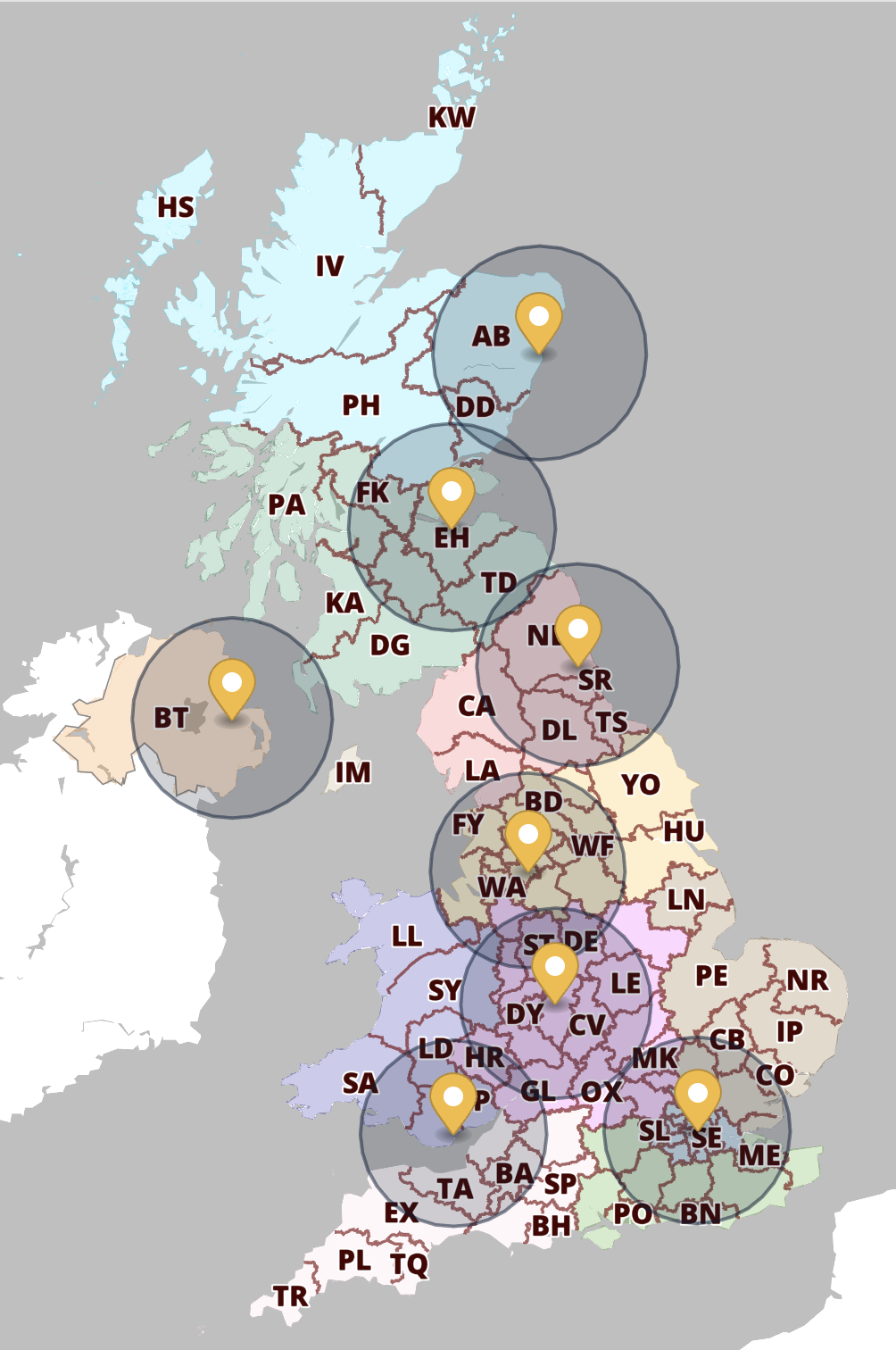
Quick Select Postcodes
Colour and label your Areas > Districts > Sectors
Do you want a point-and-click interface to map your franchise boundaries, delivery zones, staff coverage etc? Our Quick Select Postcodes system is built for you!

Postcode points plotting
Plot your postcodes as points really quickly
Do you have a customer list or spreadsheet of prospects? Upload your addresses to our Locations Plotter. This system can batch plot 1,000 postcodes per minute.

Postcode heat maps
Auto-colour your District / Sector datasets
If you have numerical or category table data relating to postcode districts or sectors, use the Choropleth / Heat Maps system. The auto-colouring options make light work of heat mapping for a large dataset.
Postcodes reference
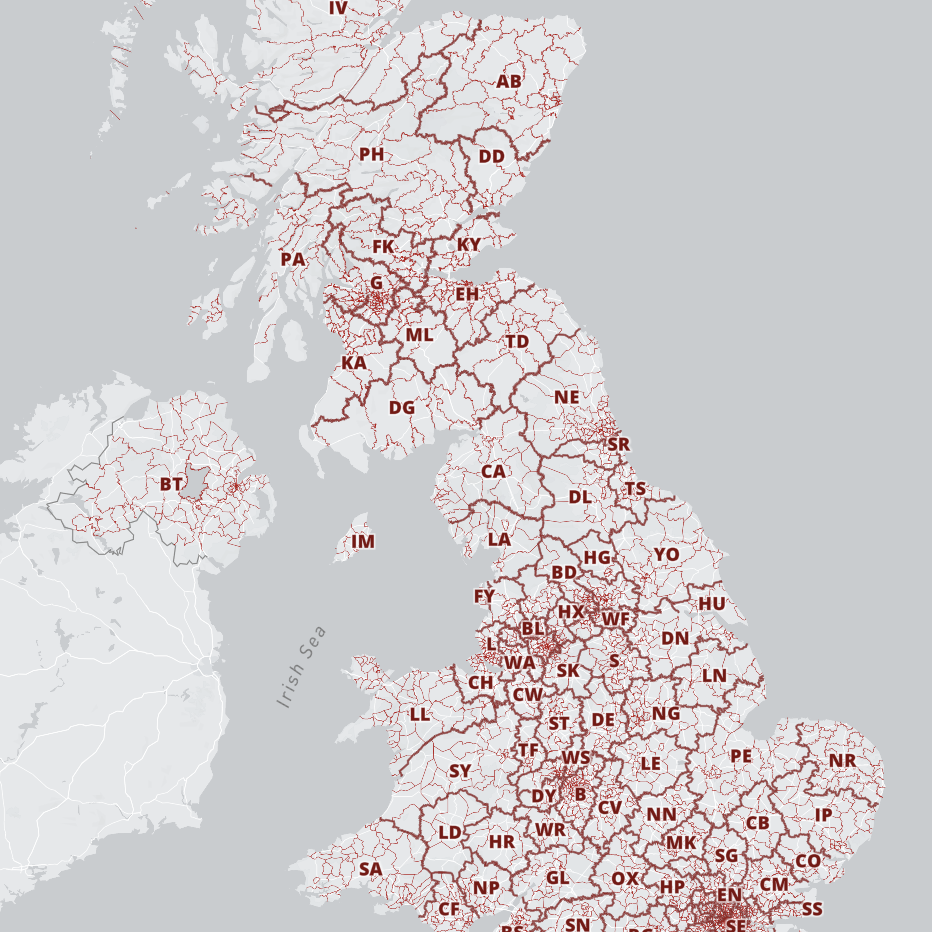
All-in-one postcodes reference with demographics
Unique interactive reference map for 1.8 million postcodes
The nested index takes you in from Areas, to Districts, to Sectors and right down to individual Units. The deeper you explore, the more demographic info you will find…
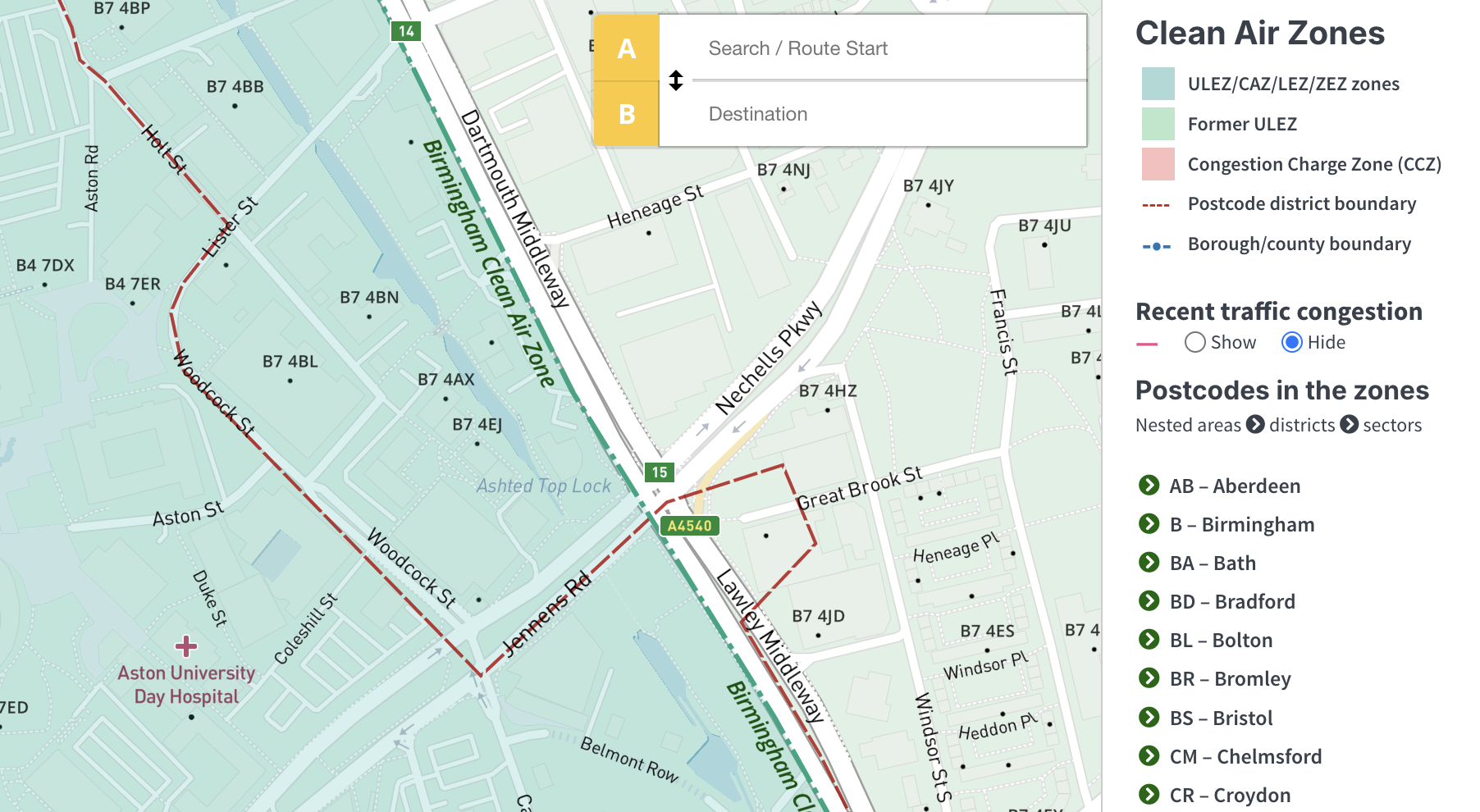
Postcodes in the Clean Air Zones with route finder
Check your postcode delivery logistics
A reference map that combines all postcode levels with an interactive index specifically of postcodes that lie within the ULEZ, LEZ and other Clean Air Zones. It helps clients to work out freight logistics and pricing.
FAQs about postcodes
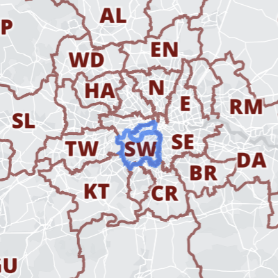
SW
AREA
The first 1-2 letters. There are 124 Postcode Areas including the Channel Islands and Isle of Man.
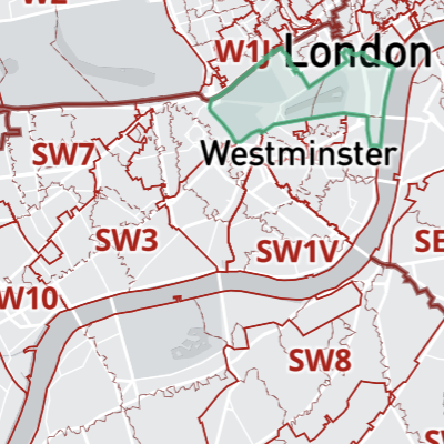
SW1A
DISTRICT
The first alphanumeric before the space, also known as the outbound / outward code. There are 2,964 Postcode Districts.
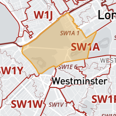
SW1A 1
SECTOR
A Sector is the single digit after the space, the first part of the 3-character inbound / inward code. There are 11,119 Postcode Sectors.
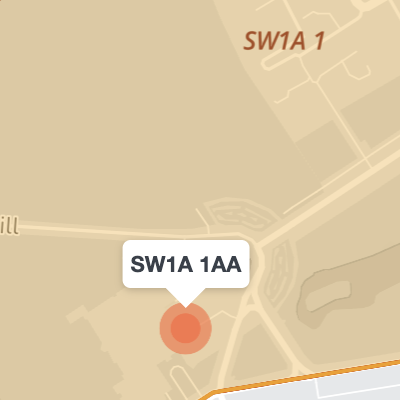
SW1A 1AA
UNIT
The full postcode is called a Unit. These are supplied by Royal Mail as centroid points, and typically cover 5-30 addresses. There are about 1.8 million Postcode Units.

Royal Mail sets the postcodes, but does not provide detailed information about individual postcode centroids. The likely explanation for the little detached islands at District / Sector level is that the postcodes are mailboxes or large business premises.
Where there are multiple Sectors within 1 island, they are most likely individual floors within a single building.
However, occasionally – and particularly with newly defined postcodes – the coordinates provided by Royal Mail may be wrong and revised months later. We are not responsible for their errors!
Royal Mail makes a distinction between ‘geographic’ and ‘non-geographic’ postcodes. The non-geographic postcodes are deliberately obscured locations – such as for the Armed Forces or certain organisations, or for mailboxes that may be registered in the Channel Islands but are actually somewhere on the mainland, but we are not allowed to know exactly where. Royal Mail does not supply coordinates for non-geographic postcodes and therefore we cannot plot them on our maps. We only cover geographic postcodes.
Royal Mail open data also makes a distinction between ‘active’ and ‘terminated’ postcodes. We only cover active postcodes, not thousands of historic terminated ones for which Royal Mail diverts mail elsewhere.
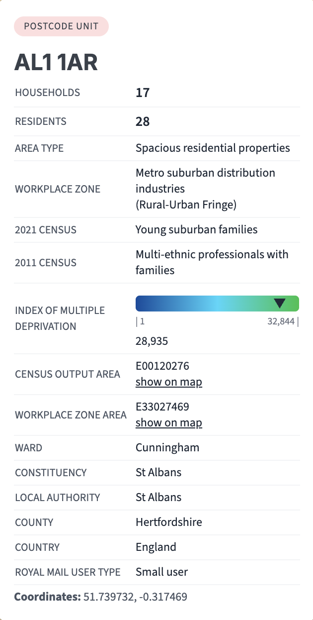
Population and household data from the censuses of 2021 and 2011 is included where possible in the all-in-one postcodes reference map.
At postcode unit level, the census data includes demographic and workplace zone categorisations applied by the Office for National Statistics.
The Indices for Multiple Deprivation are on different scales for England, Wales and Scotland, but broadly speaking, the left side of the scale is deprived and the right side affluent.
It is important to grasp that these categorisations apply to bigger areas than the postcode unit, and that they will not apply to every household or business place within that postcode unit.
However, the boundaries for the Output Areas (OAs) and Workplace Zones (WZs) from which these categorisations are derived can be loaded from the “show on map” links in the data panels. This helps marketers to understand postcode demographics in their broader geographical context.