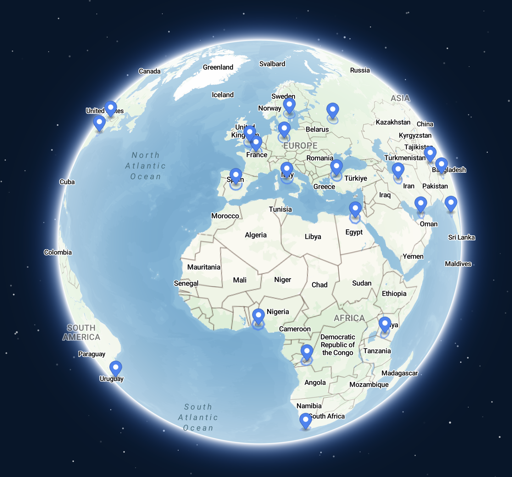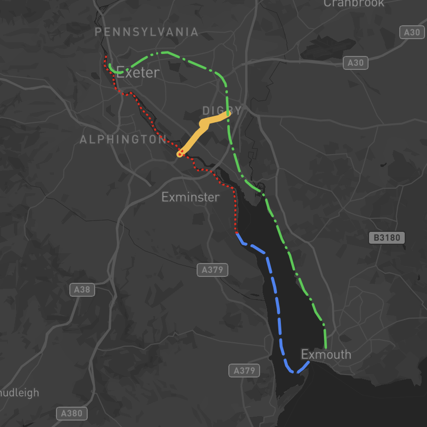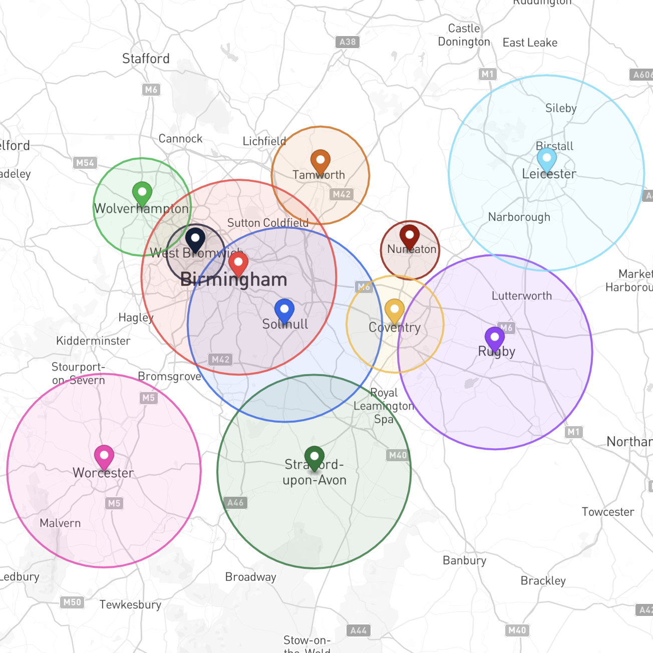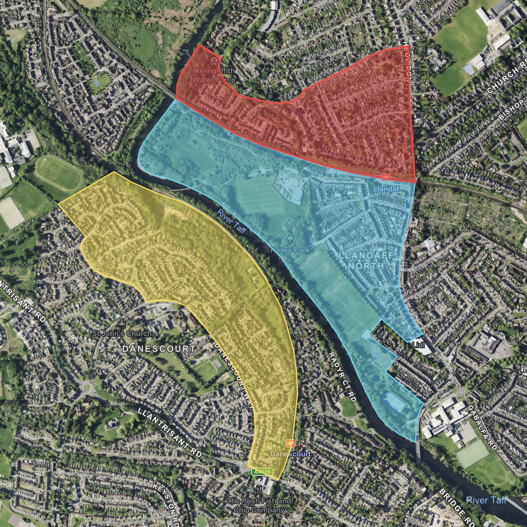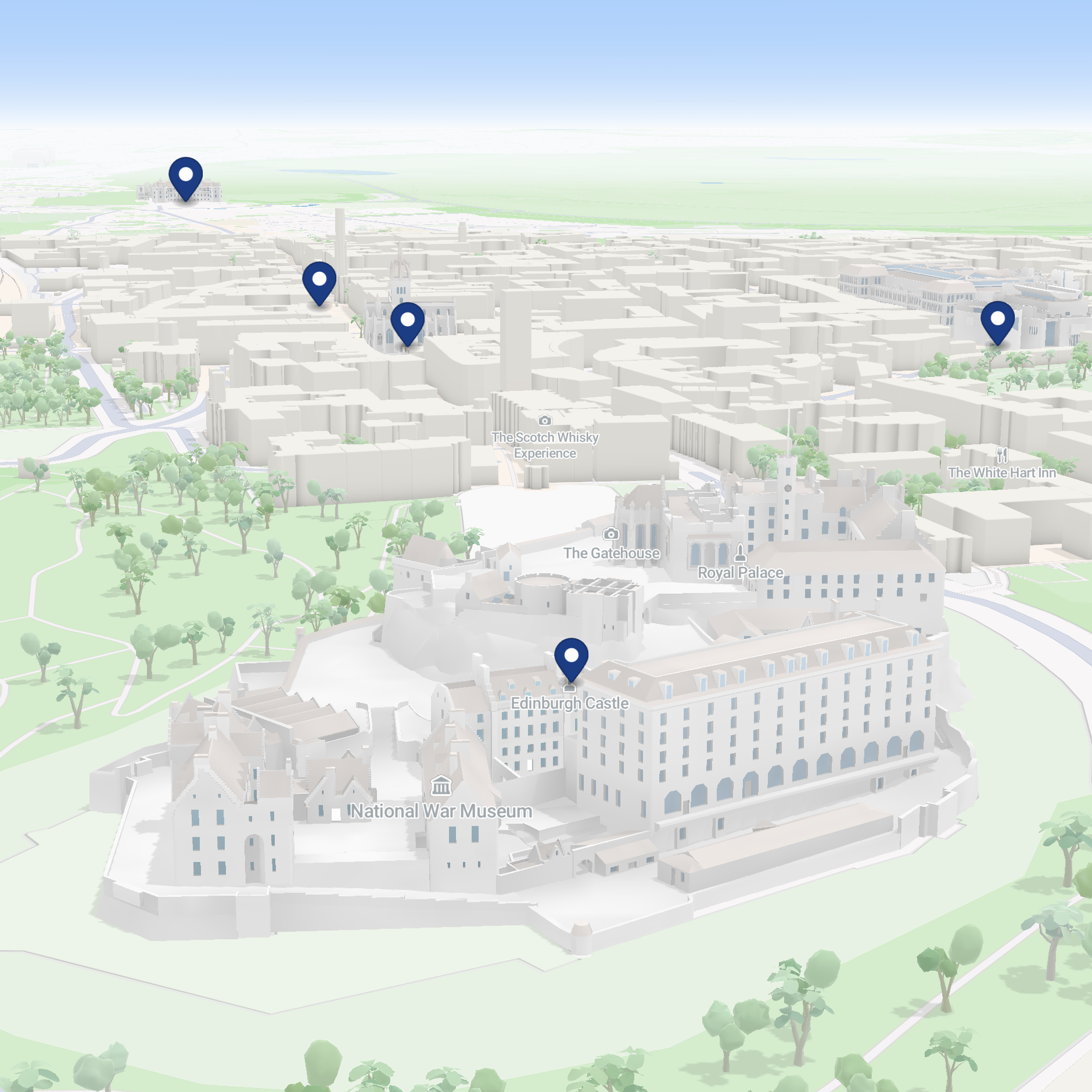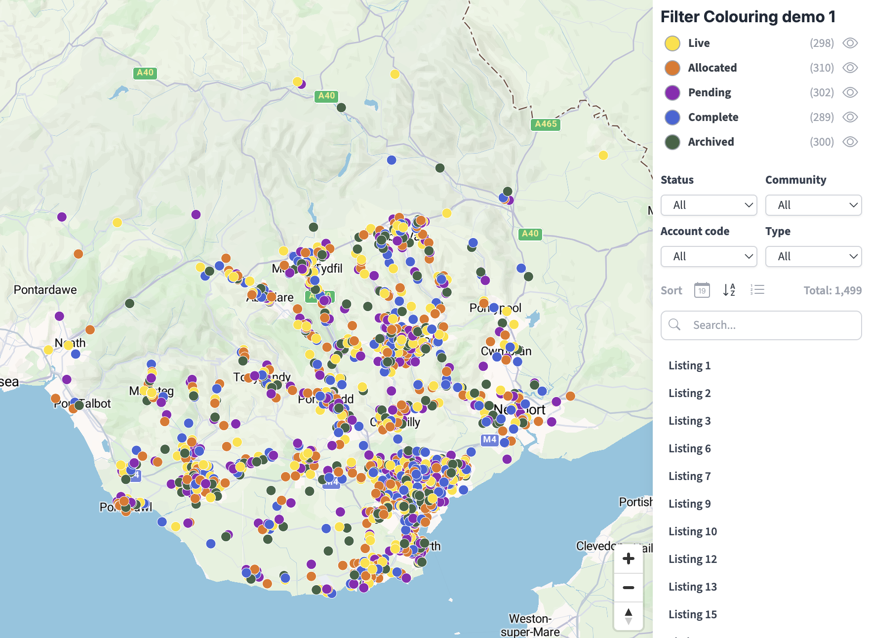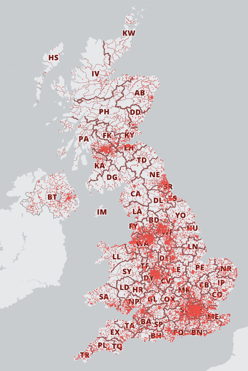
The Locations Plotter system lets you create interactive markers with popup captions on a choice of base maps. You can plot locations in different ways: from search, or manual positioning, or bulk adding address lists or hundreds of postcodes at once. Draw lines and polygon areas, and set multiple radii with population / households and overlap calculations. You can also apply filters for colours and categories.
Demos
Plot location markers, radii, shapes and lines for anywhere in the world on a choice of base maps