Showing the single result
-
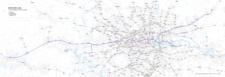
Elizabeth Line map with rail and road networks
£75.00Editable map of the entire length of the Elizabeth Line from Reading in the west to Shenfield in Essex to the east, with southern branch lines to Heathrow and Abbey Wood. The entire Ordnance Survey road network, other railways and Tube, DLR and tram lines are also included on the map for geographical context.
PDFsSVGLayered AI file