Elizabeth Line map with rail and road networks
Downloadable royalty free vector artwork High-resolution PDFsSVGLayered Adobe Illustrator filePrice £75.00
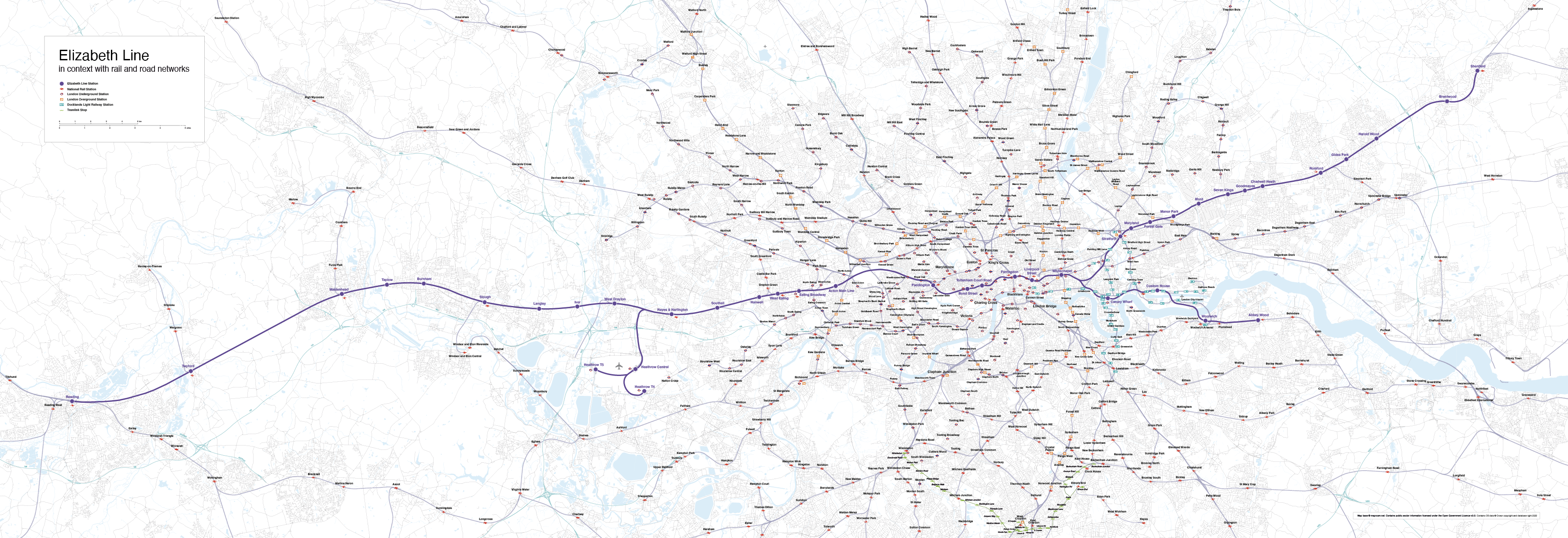
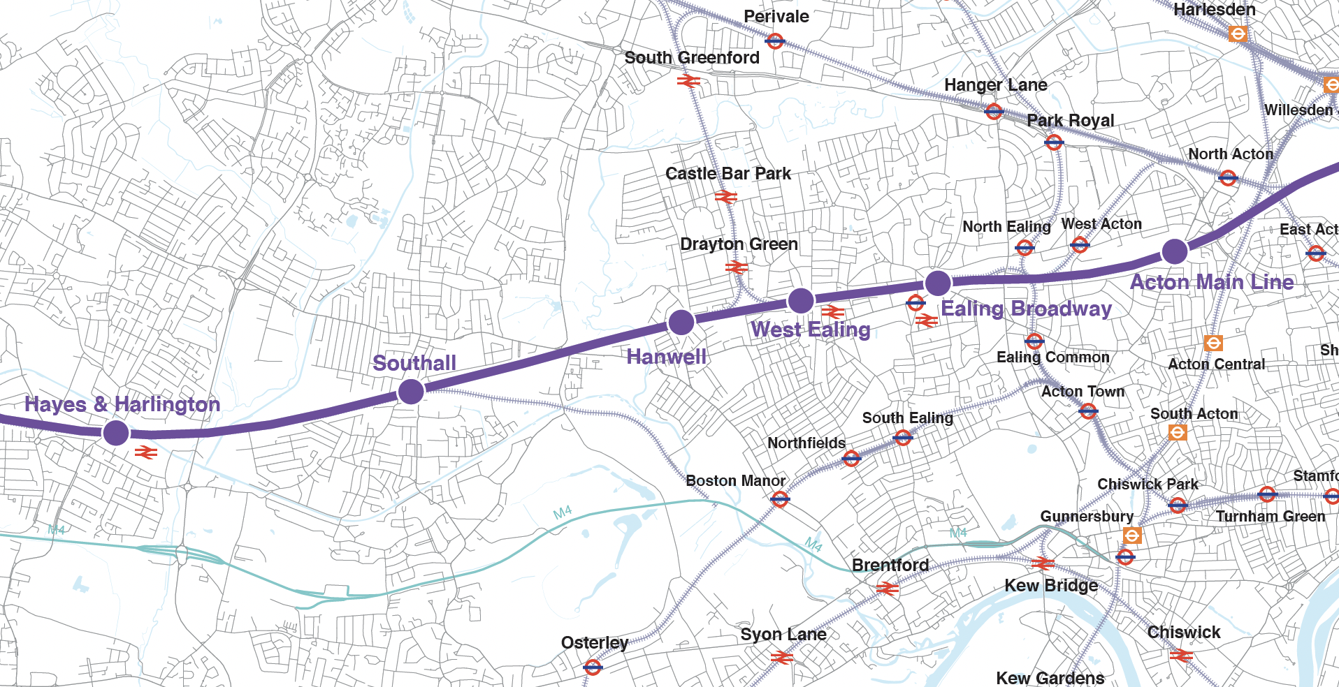
By popular request, we have made an editable map of the full length of the Elizabeth Line (Crossrail), which is opening in phases from May 2022. The map shows the geographical context of the line as it stretches from Reading in the west, through Greater London to Shenfield in Essex to the east, with southern branch lines to Heathrow and Abbey Wood. The entire Ordnance Survey road network, other railways and Tube, DLR and tram lines are included on the map to give superb geospatial context.
The map is supplied in high-resolution PDF, Illustrator and SVG formats intended for reference, editing and royalty free printing – thus perfect for designers, marketeers, property developers and planning departments etc.
The map download package includes a screen-optimised PDF for general use. This is high-resolution and can be used for printing. Note that the nominal opening artboard is more than 3 metres wide, with the smallest labels scaled at 10pt at 100% owing to the huge detailed geographical area covered. Therefore we advise printing minimum 1 metre width for legibility.
Designers can edit the Illustrator or SVG files as they please, with each layer clearly labelled and using live fonts. The entire road network from Reading to Essex, Enfield to Croydon is covered, plus the Thames and reservoirs in detail from Ordnance Survey open data, making this a hugely versatile backdrop map for London mapping projects generally.
A watermarked PDF of the full map can be previewed here or by clicking the preview images above. (Allow a few seconds for the online PDF view to load.)
Specifications
Licensing terms
This editable map base is suitable for commercial and professional uses
See standard royalty free terms for downloadable maps
How to edit
Adobe Illustrator, CorelDRAW, PDF editors etc
See how to edit the downloadable maps
Recommended scaling
Suitable for large format poster printing (advise minimum 1 metre width for label legibility)
For more guidance see scaling recommendations
Vector map layers in Illustrator