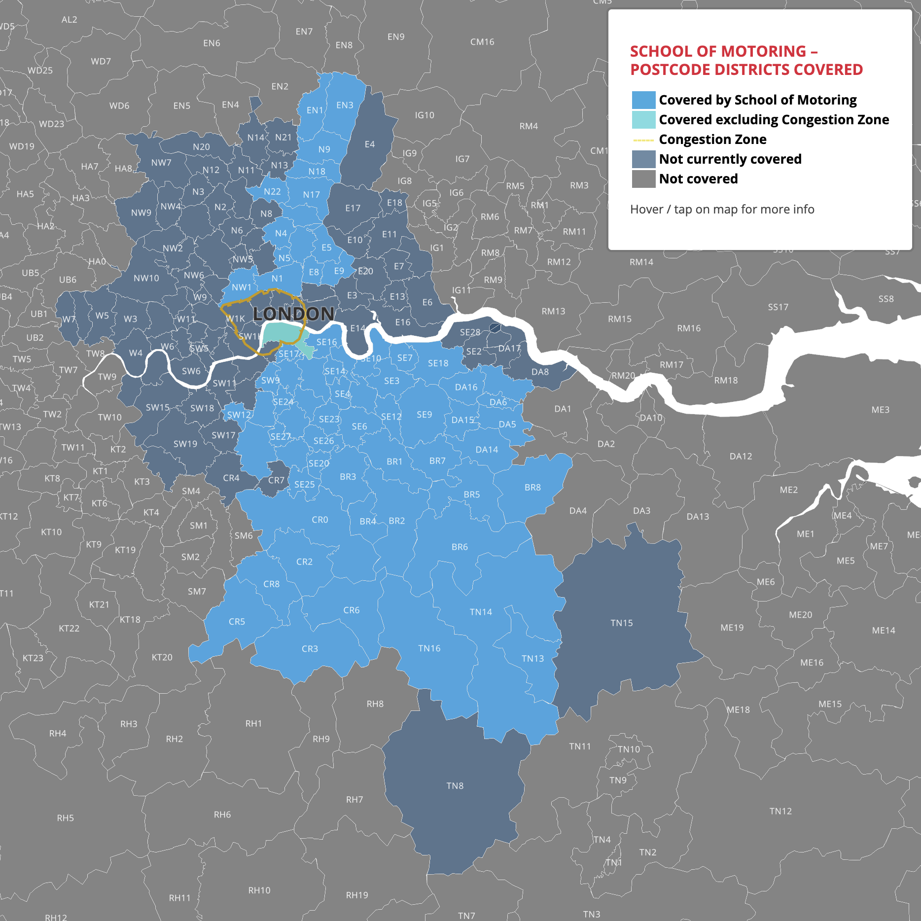
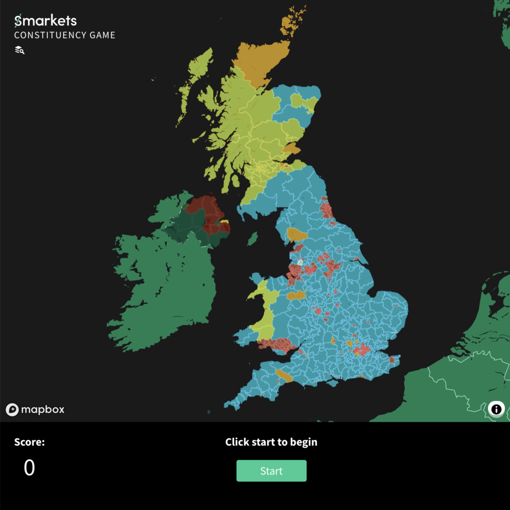
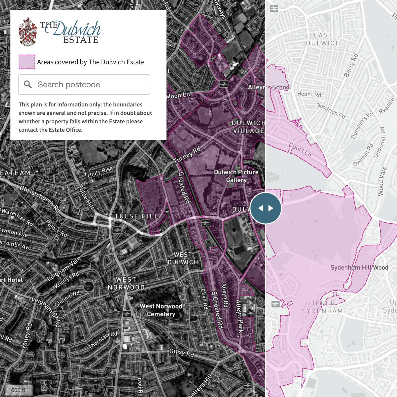
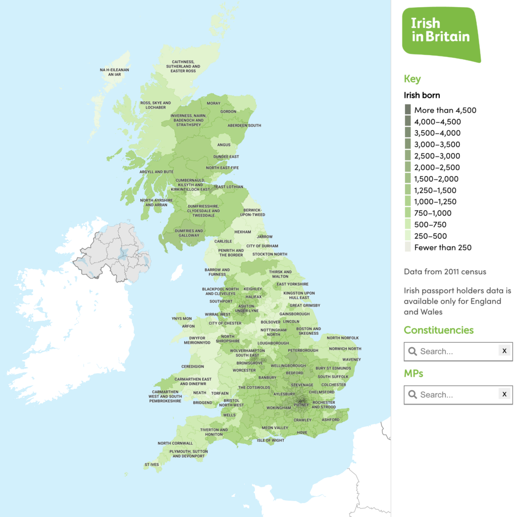
Interactive dynamic web maps are not supplied as files but as hosted web pages, usually with a feed from a spreadsheet or database. Public examples like these can potentially be embedded on the client’s website.
NOTE: Tap on preview images to open full size interactive maps

MRP (Material Requirements Planning) polling data by FocalData – feed for map used by animal welfare consortium
See more live examples in our Dynamic Maps Showcase


