Isle of Wight map
Downloadable royalty free vector artwork High-resolution PDFSVGLayered Adobe Illustrator file Bundled with 7-Day Pass for Dynamic Mapping Suite iPrice £40.00
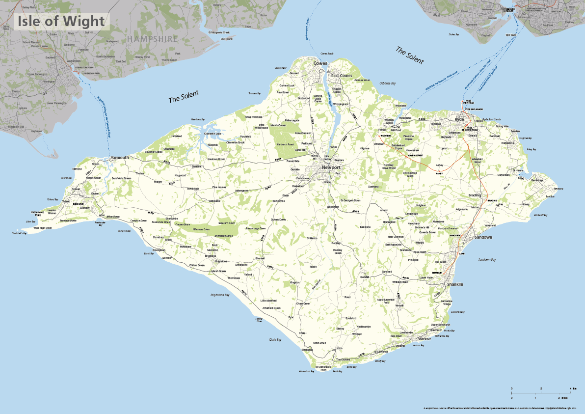
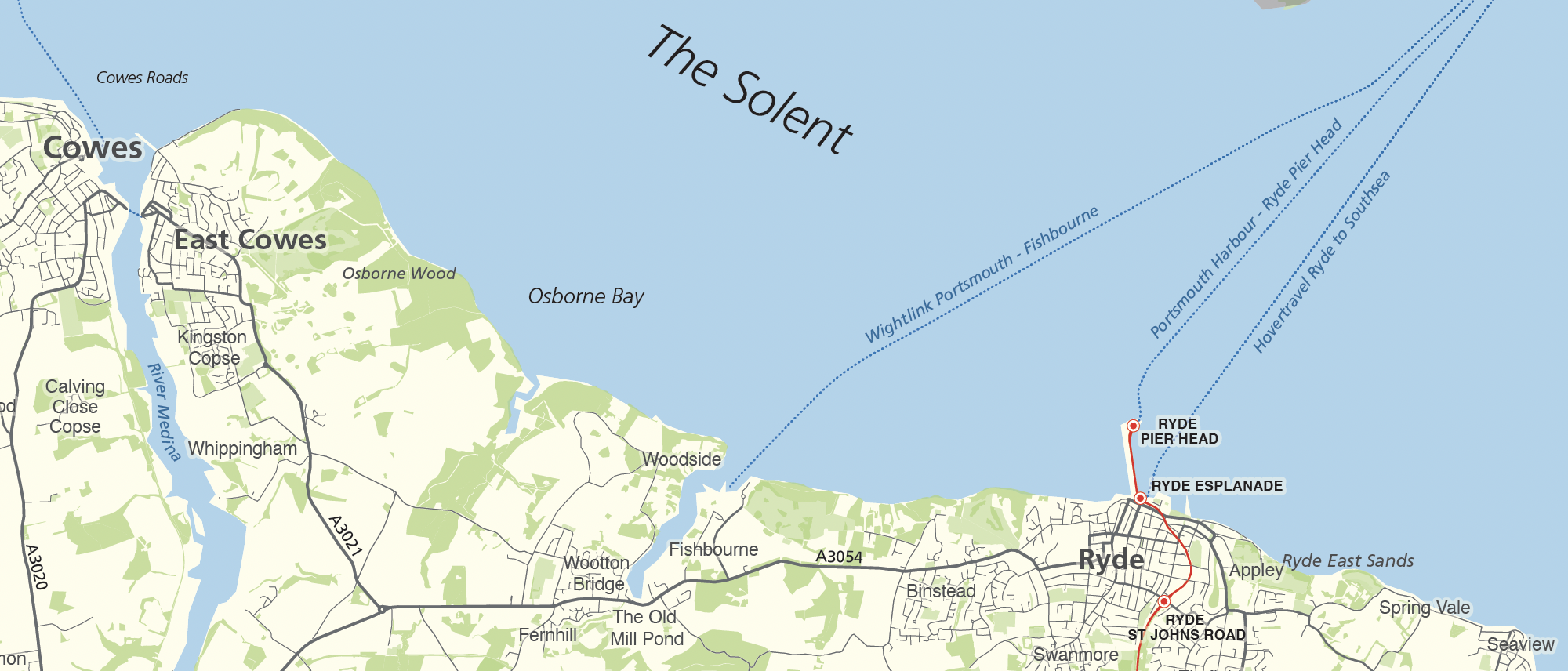
The Isle of Wight is a ceremonial county in its own right (separated from the ceremonial county of Hampshire in 1974) and highlighted on this editable vector art map. The towns, villages, roads, railway lines, lakes, rivers, woodland and green spaces of the Isle of Wight are all included in a default easy-to-read neutral colour scheme suitable for a wide variety of uses in graphic design, marketing, planning and other applications.
The product bundle includes a print-ready high-resolution PDF scaled for A-format printing, with the smallest labels legible when printed at A3 or bigger.
Also in the bundle are Adobe Illustrator, SVG and layered PDF file formats suitable for editing in standard vector art software (see how to edit).
Furthermore, this great value bundle comes with a Limited Free Pass for Maproom’s Dynamic Mapping Suite, which contains online maps and mapping tools. This is a separate system in which you can plot your own locations of interest and feed data dynamically to the Isle of Wight plus other ceremonial counties, local government and postcode boundary maps.
Specifications
Licensing terms
This editable map base is suitable for commercial and professional uses
See standard royalty free terms for downloadable maps
How to edit
Adobe Illustrator, CorelDRAW, PDF editors etc
See how to edit the downloadable maps
Recommended scaling
A3 and bigger
For more guidance see scaling recommendations
Access to Dynamic Mapping Suite
A 7-Day Full Pass for the Dynamic Mapping Suite is bundled with this map. The Dynamic Mapping Suite is a separate system that includes a set of online mapping tools geared to visualising data for UK administrative areas.
Vector map layers in Illustrator