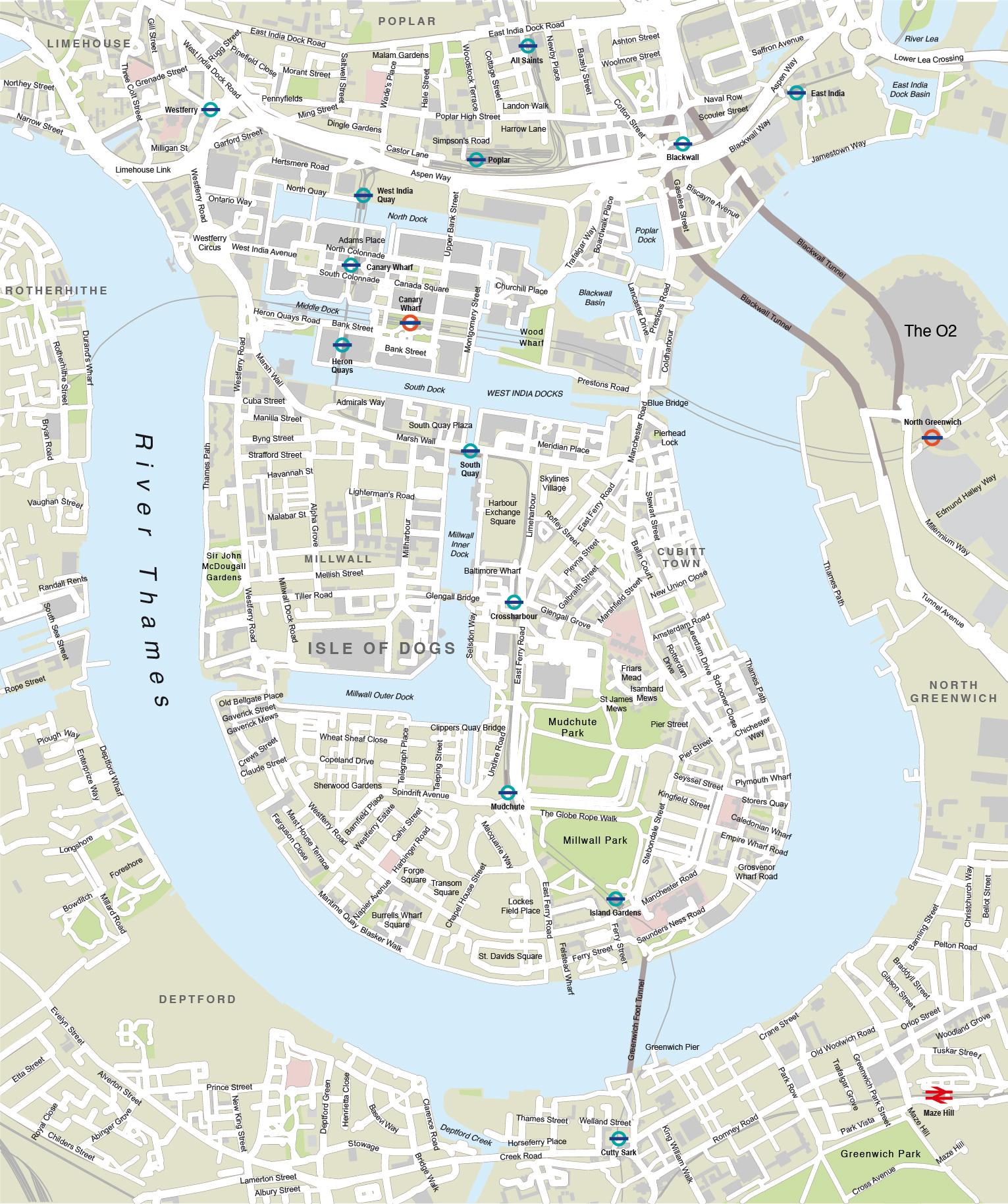
London Docklands with Canary Wharf map
Downloadable royalty free vector artwork High-resolution PDFsSVGLayered Adobe Illustrator filePrice £35.00
Zoom preview showing full area of coverage (low-resolution)
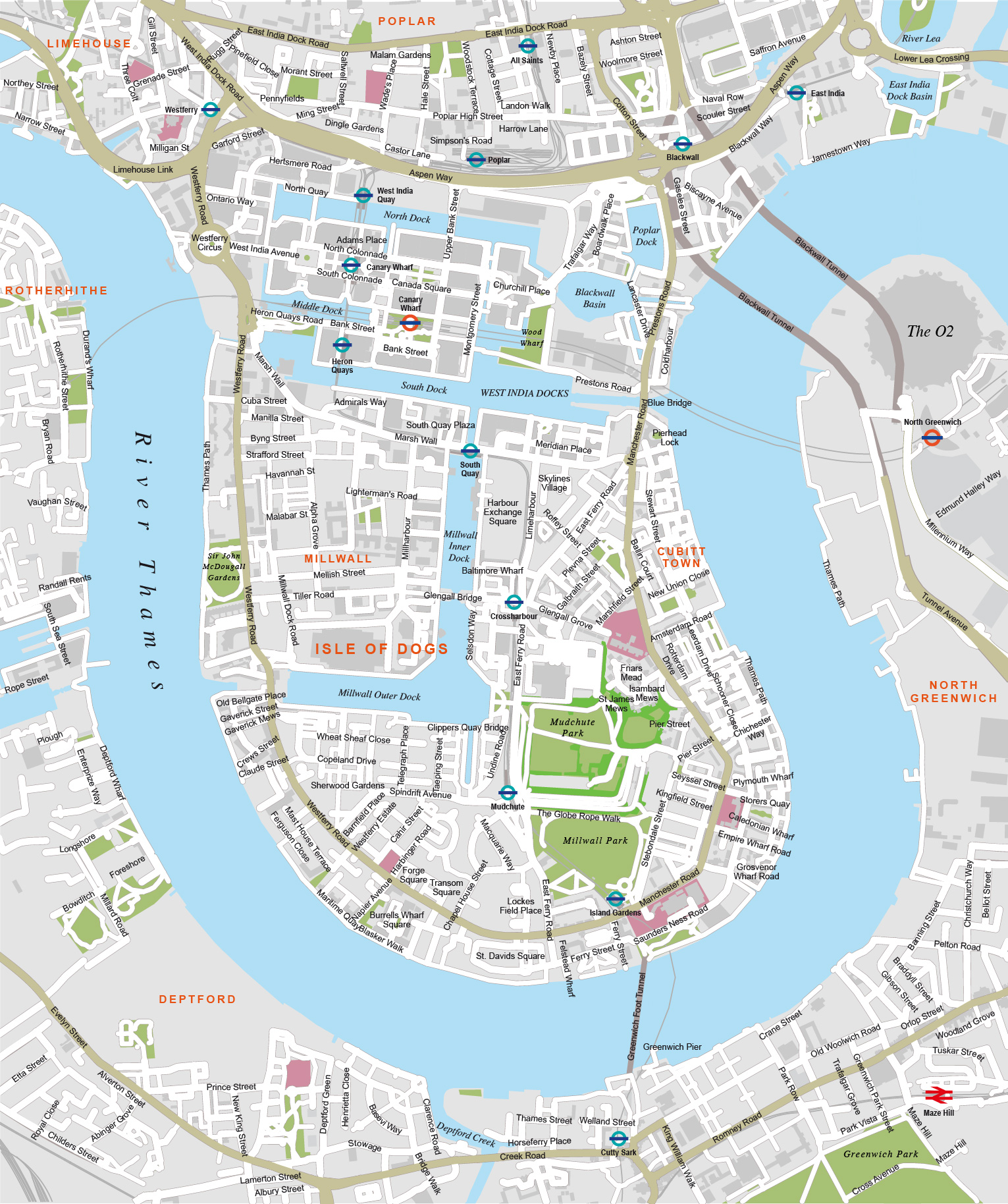
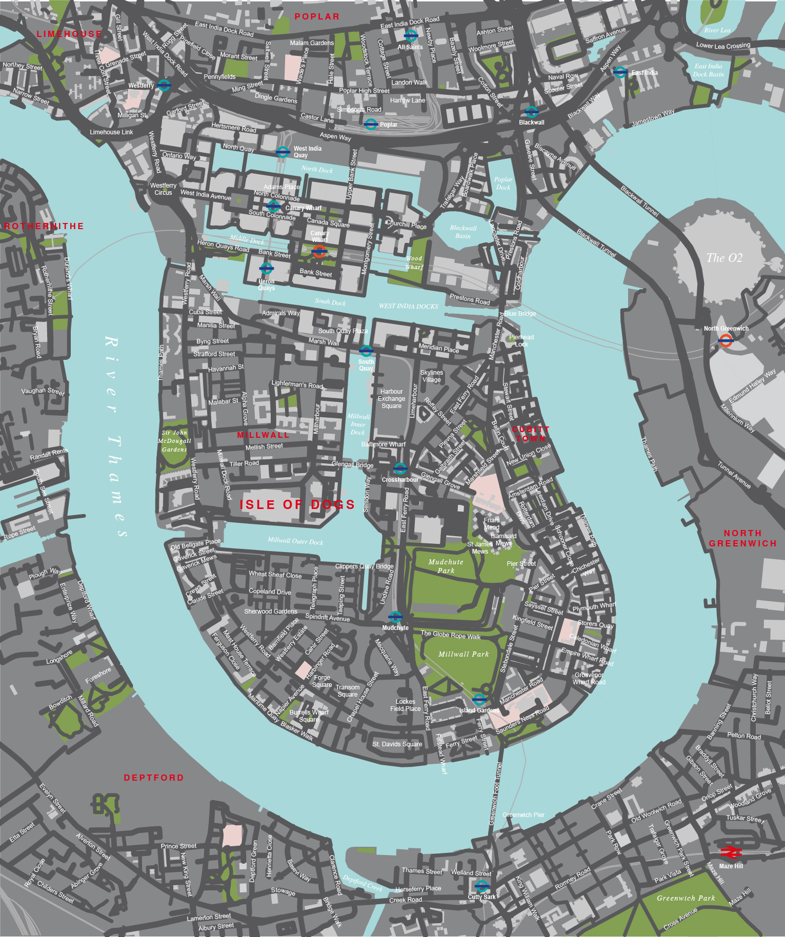
Pan to zoom / click or tap to switch
Examples of styling in the zoom previews are included as ready to use high-resolution PDF files in the download package. You can edit all colours, fonts and other elements using Adobe Illustrator or other SVG editing software.
Our editable map of Canary Wharf and London Docklands shows the business hub on the Isle of Dogs in London. The loop of the River Thames plus the individual docks and tributaries are shown, together with major buildings. Roads and the Dockland Light Railway (DLR) are shown in detail, including the Blackwall Tunnel and Greenwich Foot Tunnel.
Major landmarks south of the river are also plotted, including the O2 (Millennium Dome).
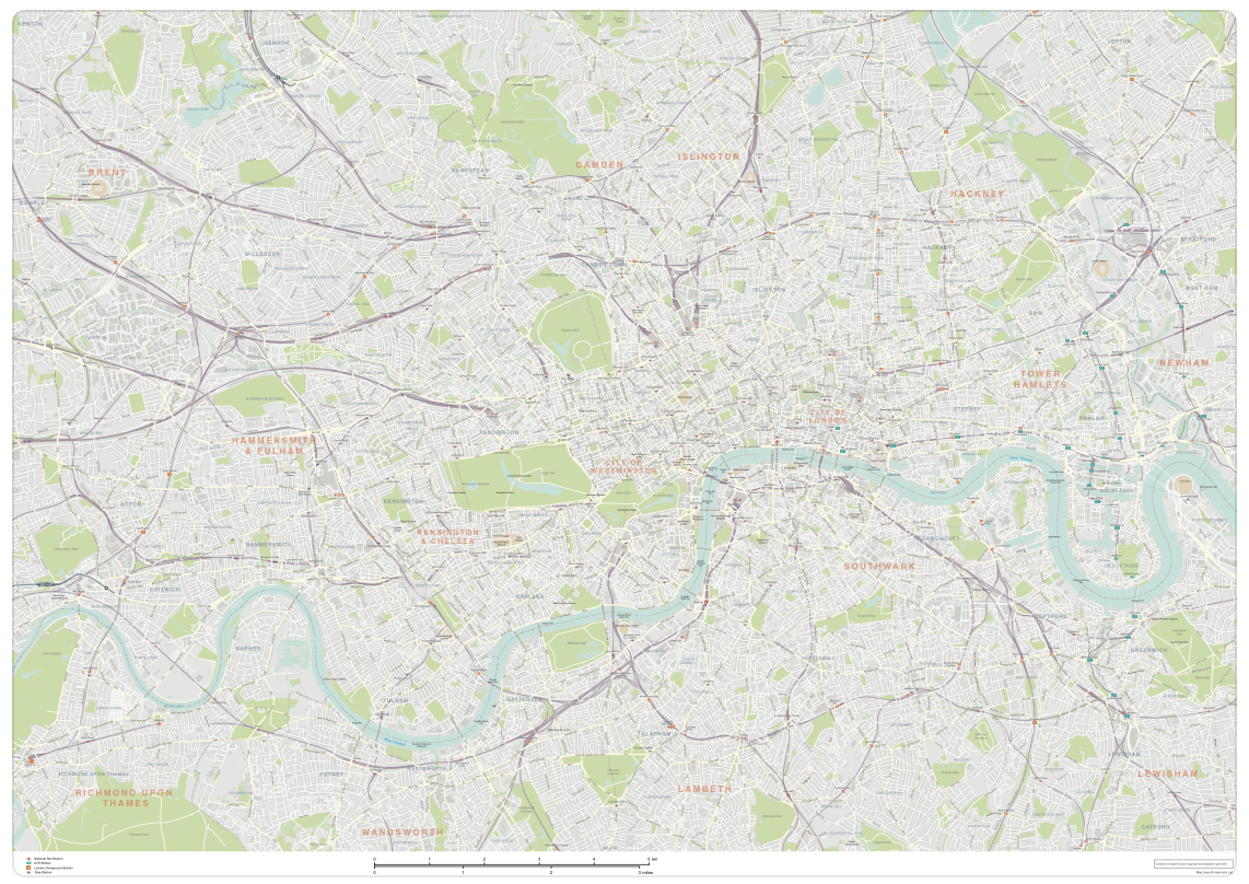
A secondary locator map is included in the download, showing the location of Docklands in relation to the City of London and Westminster. You can edit both maps as much as you want, changing colours, plotting extra locations, scaling and cropping them to suit your project.

Specifications
Licensing terms
This editable map base is suitable for commercial and professional uses
See standard royalty free terms for downloadable maps
How to edit
Adobe Illustrator, CorelDRAW, PDF editors etc
See how to edit the downloadable maps
Recommended scaling
A5 to poster size
For more guidance see scaling recommendations
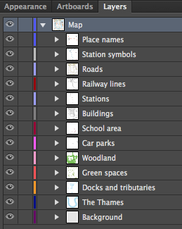
Vector map layers in Illustrator
You may also like…
-
London map with roads, buildings, districts, boroughs, transport, landmarks
£100.00A superb general purpose editable map of London, with a wealth of detail including buildings, roads, railway lines, train stations, borough boundaries, rivers, canals, parks and landmarks
PDFsLayered AI file