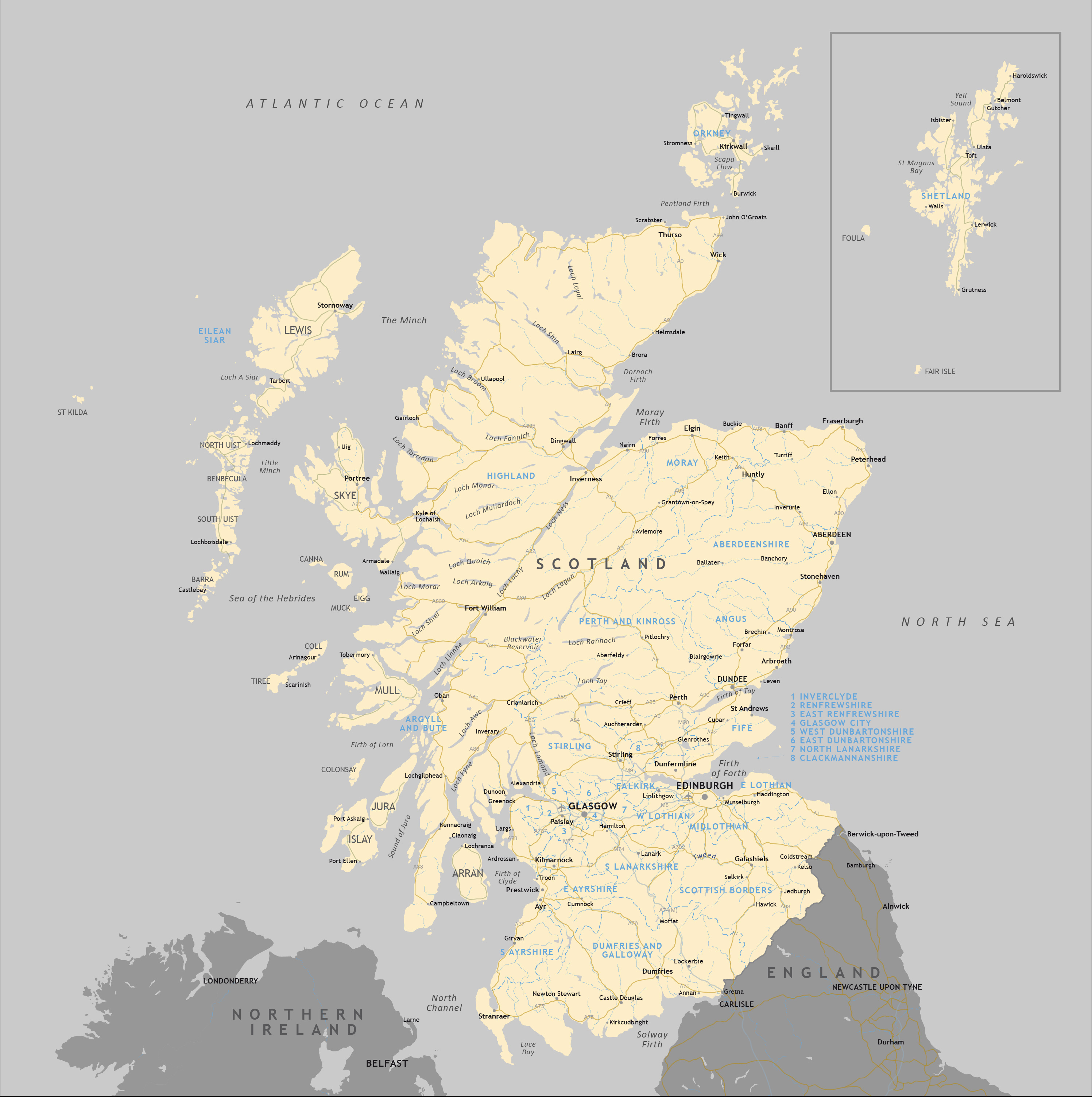
Political map of Scotland
Downloadable royalty free vector artwork High-resolution PDFsSVGLayered Adobe Illustrator file Bundled with 7-Day Pass for Dynamic Mapping Suite iPrice £40.00
Zoom preview showing full area of coverage (low-resolution)
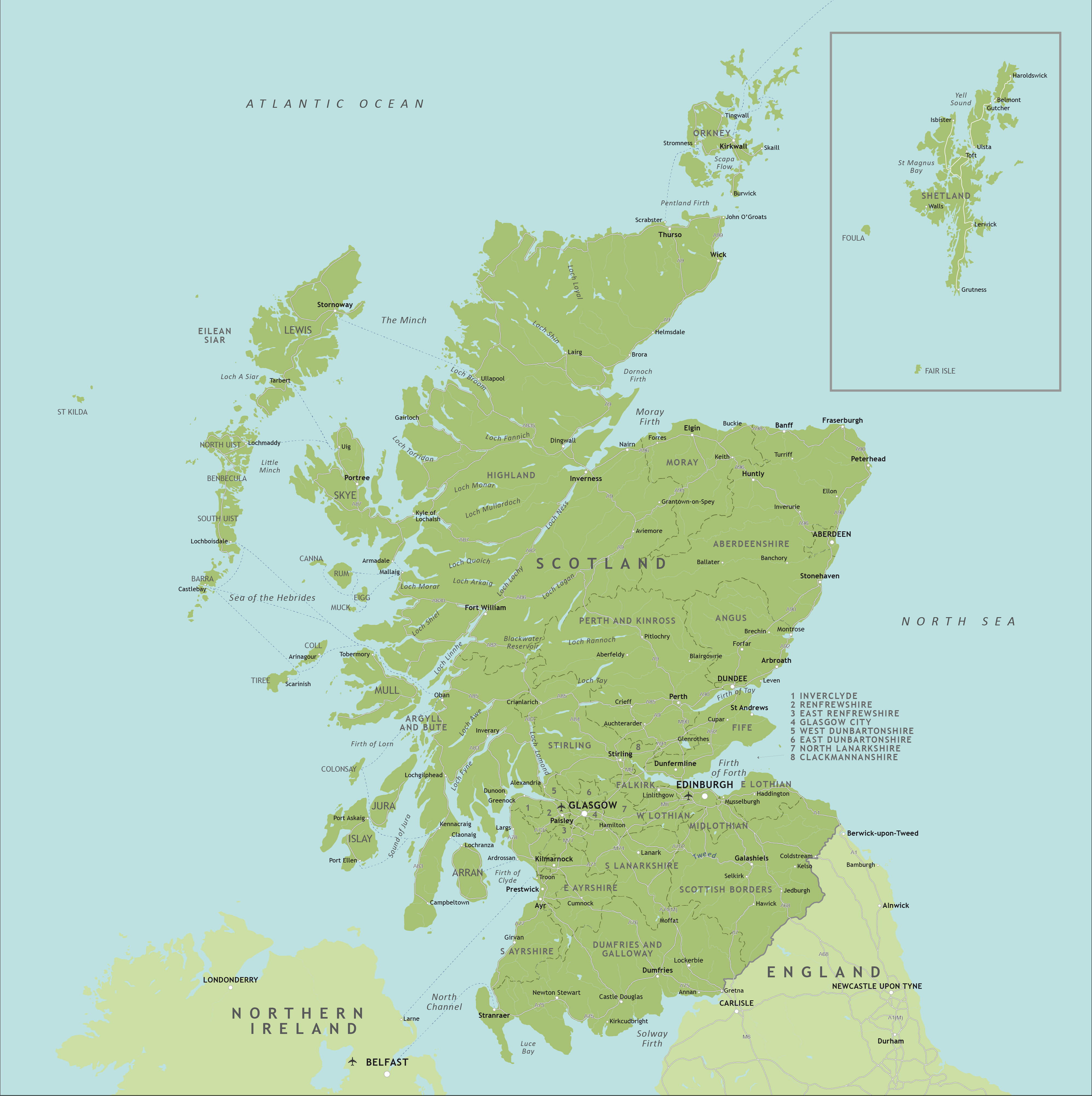

Pan to zoom / click or tap to switch
Examples of styling in the zoom previews are included as ready to use high-resolution PDF files in the download package. You can edit all colours, fonts and other elements using Adobe Illustrator or other SVG editing software.
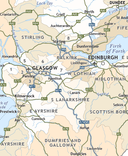
All the counties of Scotland are plotted and named, and you have the option to show them with their administrative boundary lines and/or as areas of colour. The smallest counties of central Scotland are numbered with a key off to the side for the sake of legibility at the recommended scaling.
The principal towns, roads and ferry routes are shown.
There is also a vast amount of detail on the islands, lochs and rivers on the base layers, making an impressive backdrop to the political data.
You can customise the colour, style and visibility of any layer, and add extra data as you please.
Specifications
Price £40.00
Product code: MR113
Licensing terms
This editable map base is suitable for commercial and professional uses
See standard royalty free terms for downloadable maps
How to edit
Adobe Illustrator, CorelDRAW, PDF editors etc
See how to edit the downloadable maps
Recommended scaling
Approx. A4 to poster size
For more guidance see scaling recommendations
Access to Dynamic Mapping Suite
A 7-Day Full Pass for the Dynamic Mapping Suite is bundled with this map. The Dynamic Mapping Suite is a separate system that includes a set of online mapping tools geared to visualising data for UK administrative areas.