
Rivers of England & Wales map
Downloadable royalty free vector artwork High-resolution PDFSVGLayered Adobe Illustrator filePrice £40.00
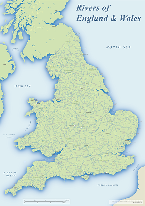
This editable and scalable river map base is a little more detailed than the version on the UK and Ireland Rivers map, concentrates solely on England and Wales, and is ready to print at A1.
The map comes as an editable Adobe Illustrator file, a layered PDF and an SVG, as well as a flattened PDF (useful if you just want to print the map).
The map covers the majority of rivers throughout England and Wales, and we’ve labelled more than 750 rivers and canals, along with around 700 cities and towns. Geographical areas and coastal bays are also labelled to help with orientation. Use this map base for water-themed projects, such as the top places for fishing, boating or water sports in England and Wales, or if you’re illustrating a hydrographic study.
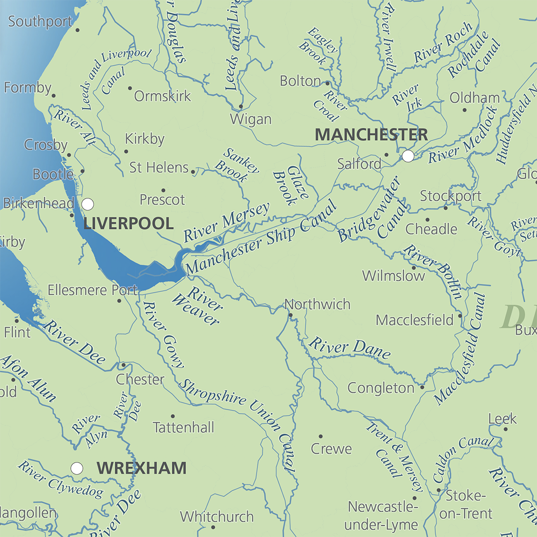
Zoomable preview of the full map
Specifications
Price £40.00
Product code: MR355
Licensing terms
This editable map base is suitable for commercial and professional uses
See standard royalty free terms for downloadable maps
Compatibility
Editable in Adobe Illustrator
See how to edit the downloadable maps
Recommended scaling
A1
For more guidance see scaling recommendations
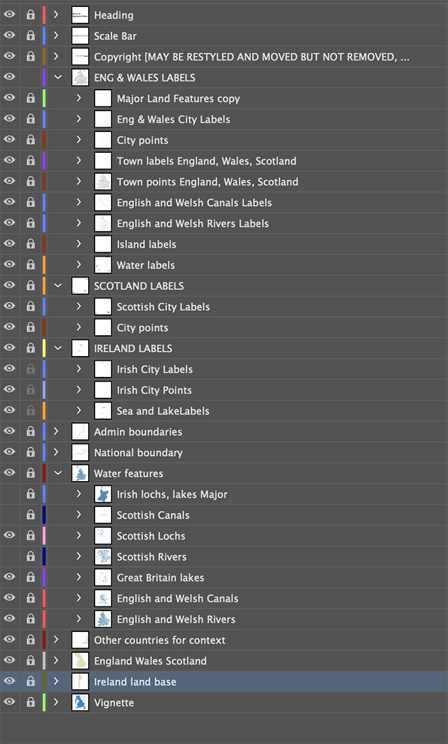
Map layers
You may also like…
-
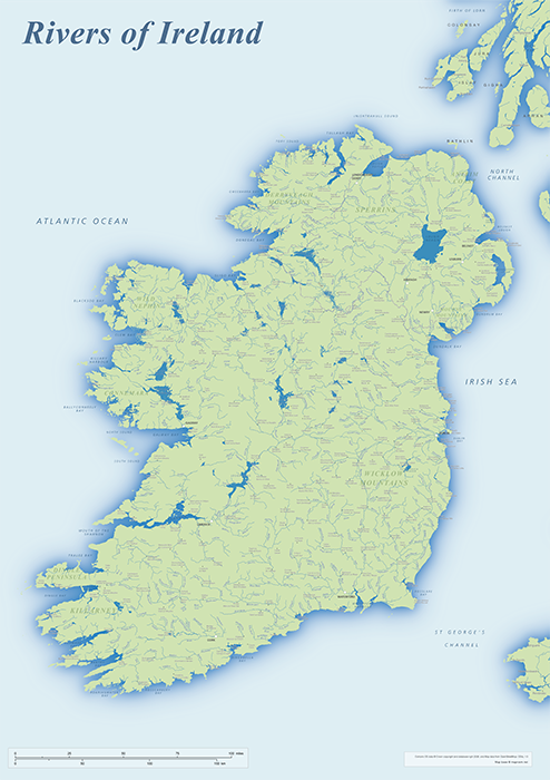
Rivers of Ireland map
£40.00An editable and scalable map of Ireland’s rivers, with towns and natural features for context. Designed for A1+ printing or editing for other uses.
PDFSVGLayered AI file -
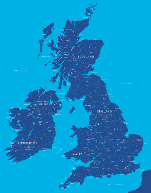
Maps of British and Irish rivers and lakes
£80.0010,000 rivers and canals, plus about 1,000 lakes, lochs and loughs of Britain and Ireland. Good for educational materials and water-activity themes.
PDFsSVGLayered AI file -
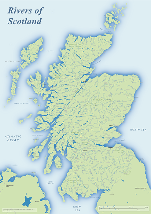
Rivers of Scotland map
£40.00An editable and scalable map of Scotland’s rivers, with towns and natural features for context. Designed for A1+ printing or editing for other uses.
PDFSVGLayered AI file