UK Local Authorities Map from April 2023
Downloadable royalty free vector artwork High-resolution PDFsSVGLayered Adobe Illustrator file Bundled with 7-Day Pass for Dynamic Mapping Suite iPrice £40.00
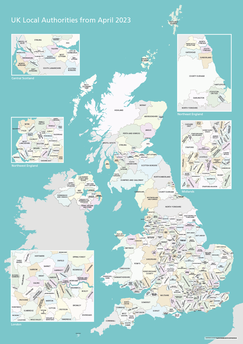
This map bundle shows the UK’s Local Authorities in several versions.
Changes from 1 April 2023:
Cumberland – formerly Allerdale, Carlisle, Copeland
Westmorland and Furness – formerly Barrow-in-Furness, Eden, South Lakeland
North Yorkshire – formerly Craven, Hambleton, Harrogate, Richmondshire, Ryedale, Scarborough, Selby
Somerset – formerly Mendip, Sedgemoor, Somerset West and Taunton, South Somerset
Included in the package are several versions supplied as high-resolution PDFs, Illustrator and SVG files.
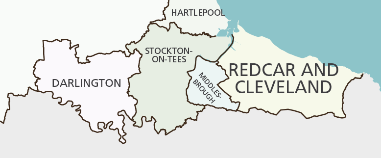
Basic version scaled for A1+ poster printing
The package includes the Local Authorities before and after 1 April 2023.
On these versions scaled for poster printing, the smallest labels are legible when printed at A1 size or bigger.
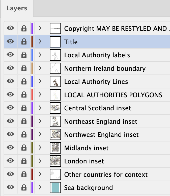
In addition to the PDFs, raw Illustrator and SVG files are included for graphic designers who will find the artwork to be layered for easy manipulation and application. All elements are editable in Adobe Illustrator, including colours and fonts. Each local authority is a discrete polygon on its own sublayer interlocking perfectly with its neighbours.
View full size watermarked preview of basic version
More detailed version with towns and major roads
This more detailed version in the package works as a high-resolution PDF / AI / SVG suitable for screen zooming and designer edits, though it is not scaled specifically for poster printing (unless you want to print the whole thing at wall size).
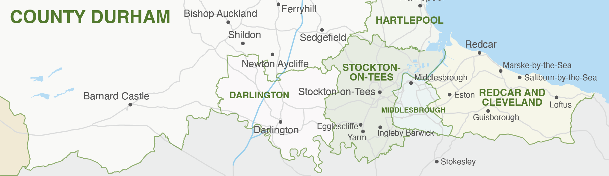
View full size watermarked preview of detailed version with towns and major roads
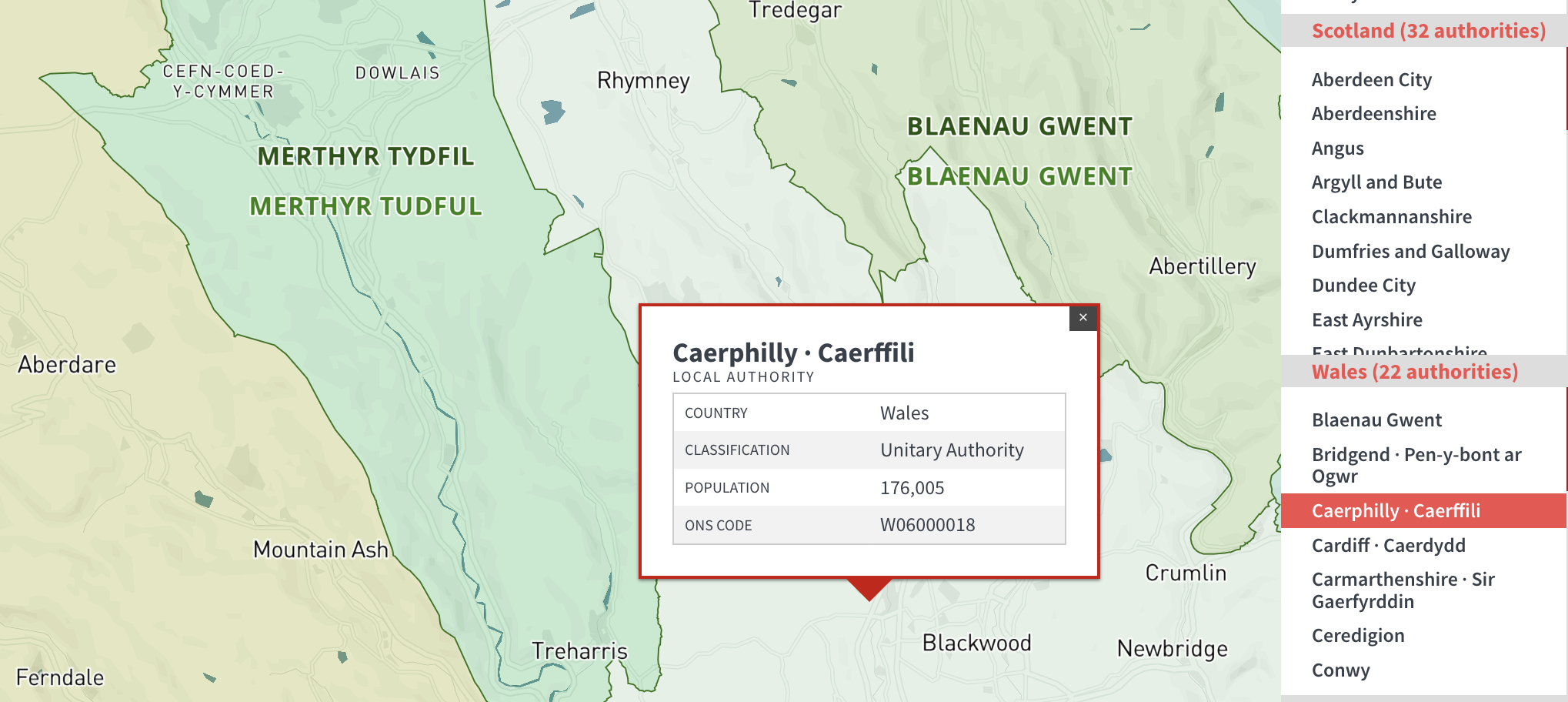
Access to exceptionally detailed Local Authority maps and mapping tools in the Dynamic Mapping Suite
This great value package includes a 7-Day Limited Free Pass for the Dynamic Mapping Suite. The Dynamic Mapping Suite contains online Local Authority maps with advanced interactive indexes and search, and spreadsheet mapping tools that allow you to colour and caption the Local Authorities by feeding in your own data. Local Authorities before and after April 2023 are available for mapping depending on what dataset you need to work with.
Looking for Local Authorities + Postcodes?
If you need postcode reference juxtaposed with local authority boundaries, head over to the UK Local Authorities and Postcode Districts map.
Specifications
Price £40.00
Product code: MR156
Licensing terms
This editable map base is suitable for commercial and professional uses
See standard royalty free terms for downloadable maps
How to edit
Adobe Illustrator, CorelDRAW, PDF editors etc
See how to edit the downloadable maps
Recommended scaling
A1 poster and bigger, or zoomed areas
For more guidance see scaling recommendations
Access to Dynamic Mapping Suite
A 7-Day Full Pass for the Dynamic Mapping Suite is bundled with this map. The Dynamic Mapping Suite is a separate system that includes a set of online mapping tools geared to visualising data for UK administrative areas.
Vector map layers in Illustrator