Showing the single result
-

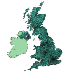
UK postcodes – Esri shapefiles and geojson sets for postcode areas and districts
£1,000.00All the UK postcode areas, districts, sectors and units in formats for developers and geocoders. A valuable and comprehensive GIS dataset that is capable of deep zooming down to street level. Includes Northern Ireland. Licensing restrictions apply.