It has been brought to our attention that Chinese authorities are now subjecting world maps to a process of verification to ensure they conform to China’s sovereignty claims. For example, the depiction of disputed territories such as Taiwan and islands in the South China Sea and gas fields in the East China Sea must conform to Beijing’s official view. Map projection, affecting the size of China in comparison with the rest of the world, is also under scrutiny.
These restrictions affect all products sold in China, including maps on merchandise and within books, and they also affect maps printed in China on products destined for markets outside of China. The latter are now being impounded at Chinese customs whilst the authorities examine their origination and design.
Consequences for products deemed to violate Chinese sovereignty may include fines and the order for companies to withdraw and destroy products.
Recent cases include Gap being forced to apologise for selling T-shirts in North America with a map of China omitting Tibet and Taiwan (15/5/18), and Muji, the Japanese retailer, being fined £23k+ for labelling indoor drying racks as ‘Made in Taiwan’ (25/5/18).
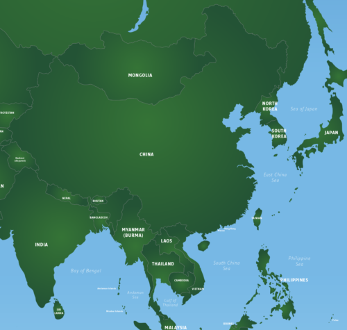
At present, the only Maproom map that includes China is our Vector World Map, and this is affected by the restrictions described above. Our editable base map includes Taiwan in a compound path with China, and our examples supplied with the download package include Taiwan in the same colour as China. Tibet is not delineated separately from the rest of China. However, our world map is at a small scale that does not include all the small islands in disputed territories. The projection of this world map is WGS84, whereas map service providers in China are required to use a slightly different projection created by China. It is also possible for customers purchasing this map to easily colour Taiwan and other islands differently to mainland China, which will likely lead to problems on products being printed or sold in China, and may even cause a problem for products printed and sold outside of China, as in the Gap case mentioned above.
Given the situation, we strongly advise customers to avoid using Chinese printers to print world map products, nor to attempt selling world map products in China, and to make themselves aware of potential issues when colouring Taiwan and other disputed territories.
We will update this information if we learn of further developments.
Further reading:
www.businessinsider.com/r-new-chinese-map-gives-greater-play-to-south-china-sea-claims (includes China’s official map of China)
www.red24.com/members/intelligence/newsletters_security_briefings/south_china_sea_dispute (non-Chinese risk assessment company showing disputed territories in the South China Sea)
en.wikipedia.org/wiki/Restrictions_on_geographic_data_in_China