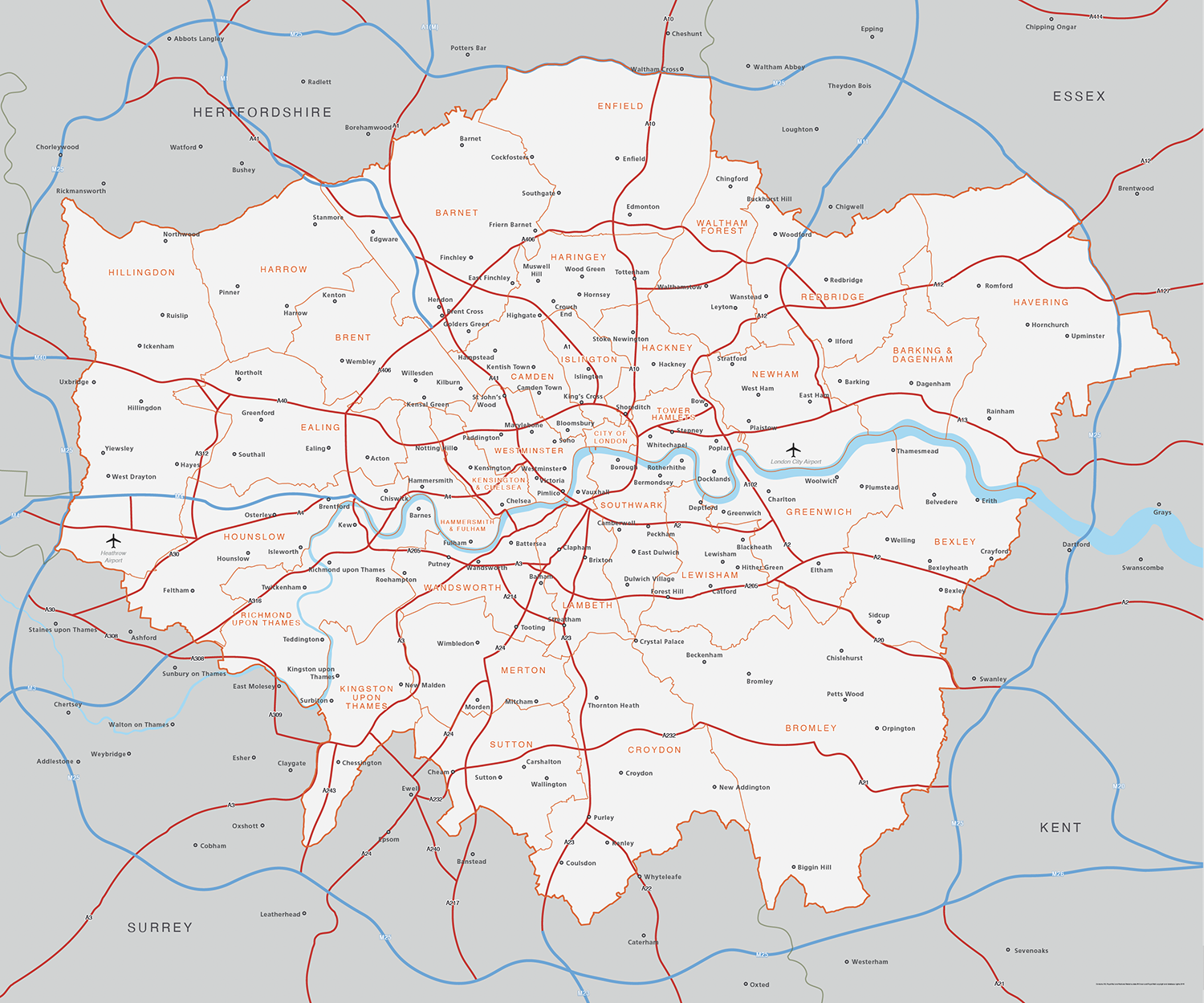
Map of Greater London districts and boroughs
Downloadable royalty free vector artwork High-resolution PDFsSVGLayered Adobe Illustrator file Bundled with 7-Day Pass for Dynamic Mapping Suite iPrice £25.00
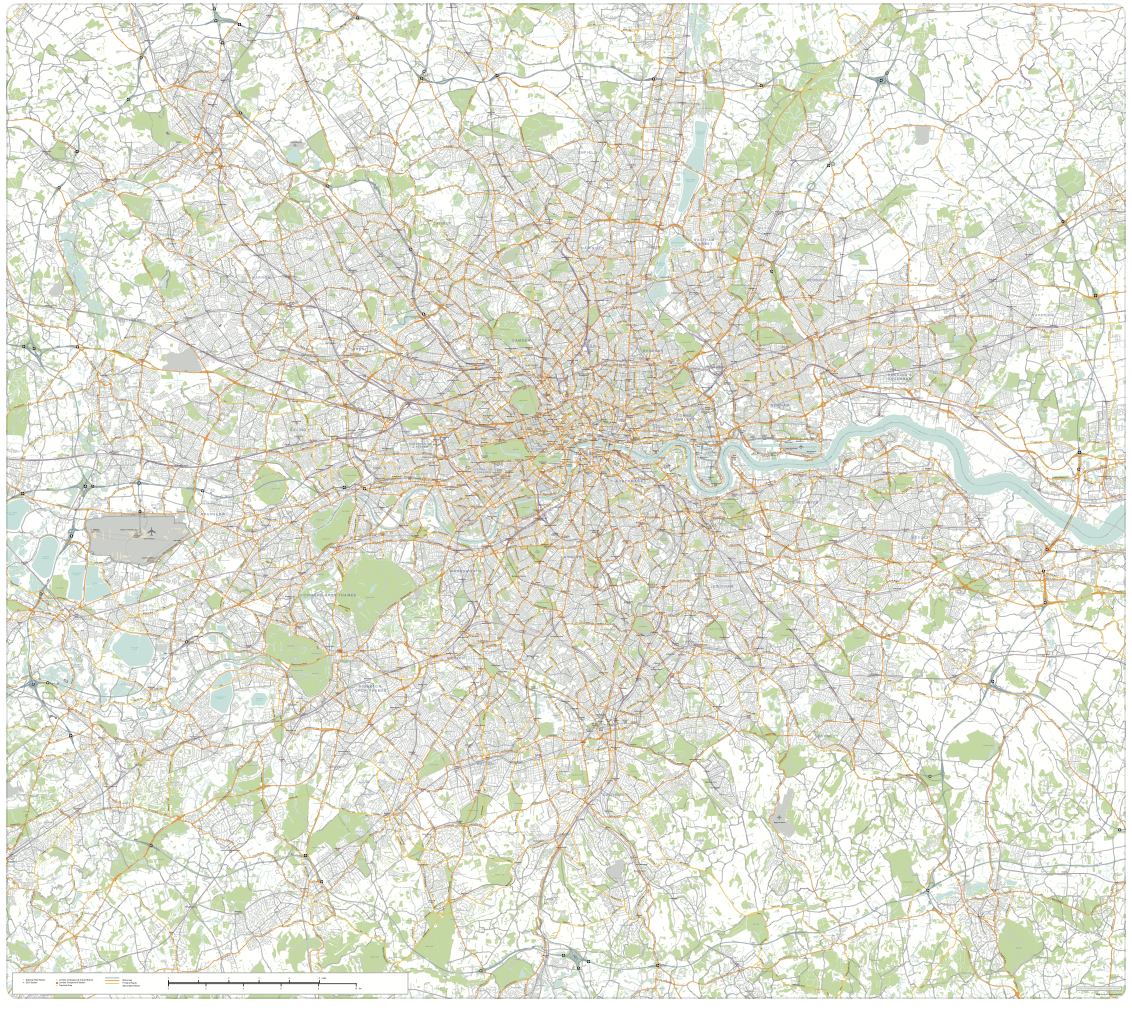
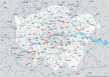
Zoom preview showing full area of coverage (low-resolution)
Pan to zoom / click or tap to switch
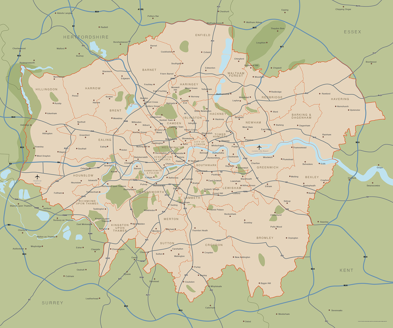
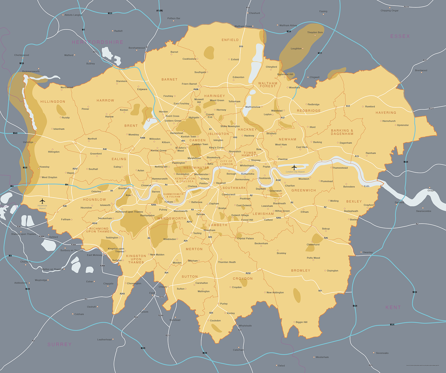
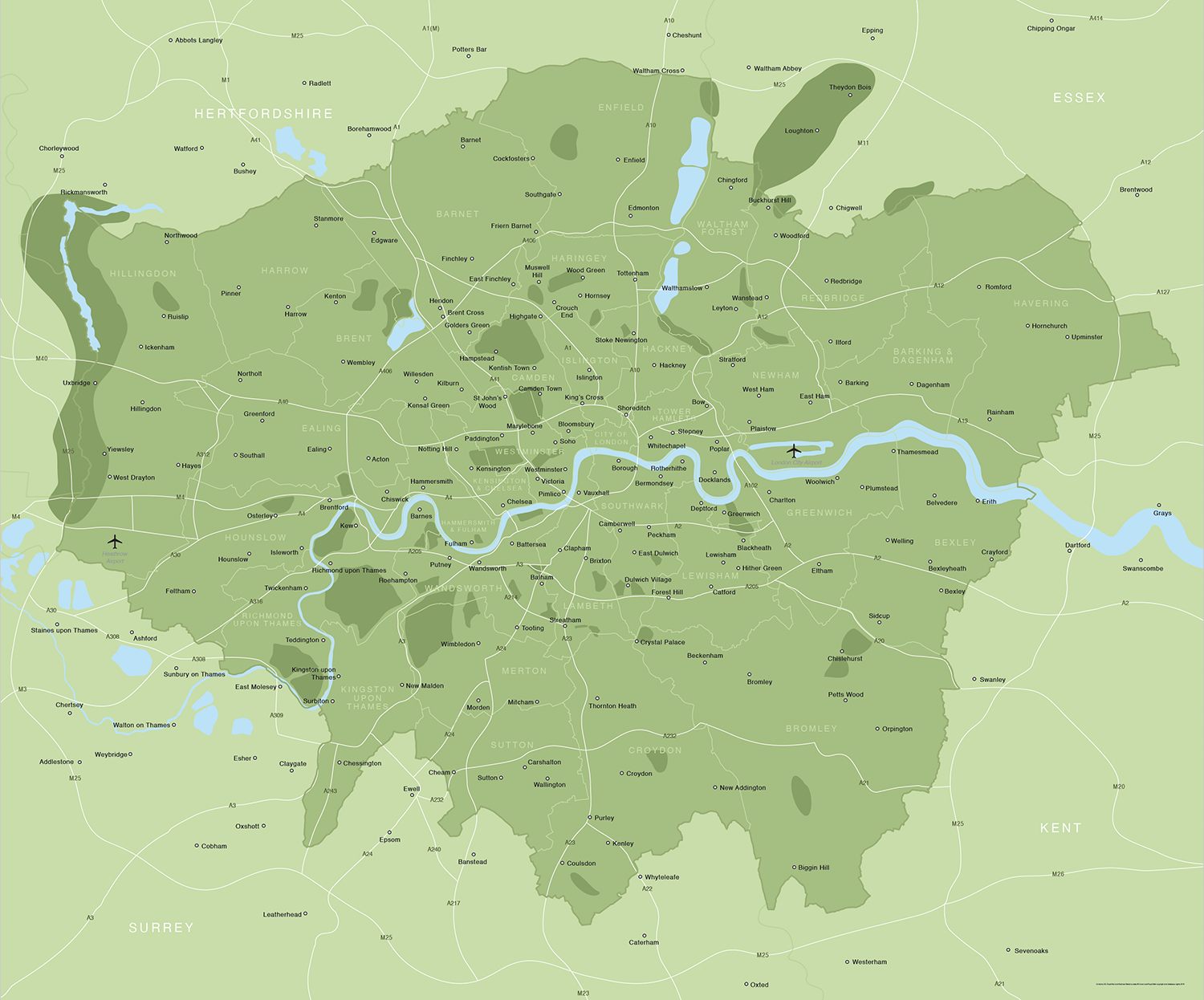
Examples of styling in the zoom previews are included as ready to use high-resolution PDF files in the download package. You can edit all colours, fonts and other elements using Adobe Illustrator or other SVG editing software.
Our editable vector map of Greater London has all the London boroughs and main towns, districts and suburbs within the M25.
You can scale this map and change the colours according to your needs, and use it royalty-free for commercial projects.
Features of the Greater London map include interlocking layers for all the London boroughs, the Home Counties and Greater London boundary. The M25 and a simplified rendering of the main A roads are plotted, as is the path of the River Thames, Heathrow Airport and London City Airport and the major reservoirs and parks within Greater London.
Included in the download folder are PDFs and raw Illustrator and SVG formats, with the examples of different styling, colours and fonts as shown in the previews on this page. There is no limit to what you can do to this map using vector software – add your own location markers, hide unwanted features, and change the shape and colour of any element.
In terms of scaling, the artwork has been produced at approximately 120 x 100 cm, and, if printing, we recommend anything from about A3 upwards if you need all the place names to be legible. If you want to use the map smaller than A3, you can easily enlarge the text for legibility and/or remove unnecessary labels to stop place names overlapping. This map of Greater London can also be used as a small city locator map simply by turning off the top layers.
Want more detail? Check our Greater London detailed map with all roads.
Want the London postcodes overlaid on this map base? See our map of Greater London postcode districts.
Specifications
Price £25.00
Product code: MR131
Licensing terms
This editable map base is suitable for commercial and professional uses
See standard royalty free terms for downloadable maps
How to edit
Adobe Illustrator, CorelDRAW, PDF editors etc
See how to edit the downloadable maps
Recommended scaling
Approx. A4 to poster size
For more guidance see scaling recommendations
Access to Dynamic Mapping Suite
A 7-Day Full Pass for the Dynamic Mapping Suite is bundled with this map. The Dynamic Mapping Suite is a separate system that includes a set of online mapping tools geared to visualising data for UK administrative areas.
Vector map layers in Illustrator
You may also like…
-
Greater London detailed map with all roads, transport, institutions, green areas
£150.00Detailed vector map of the whole of Greater London – all roads, stations, airports, rivers, green areas. A fantastic resource for professional designers and commercial projects. Provided in 2 versions for different scaling needs.
PDFsSVGLayered AI file -
Map of Greater London postcode districts plus boroughs and major roads
£30.00All the postcode districts in Greater London, shown in context with the London boroughs, post towns, major roads and surrounding counties. Scaled for A3 and above.
PDFsSVGLayered AI file