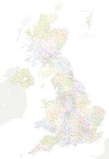
Map of Greater London postcode districts plus boroughs and major roads
Downloadable royalty free vector artwork High-resolution PDFsSVGLayered Adobe Illustrator file Bundled with 7-Day Pass for Dynamic Mapping Suite iPrice £30.00
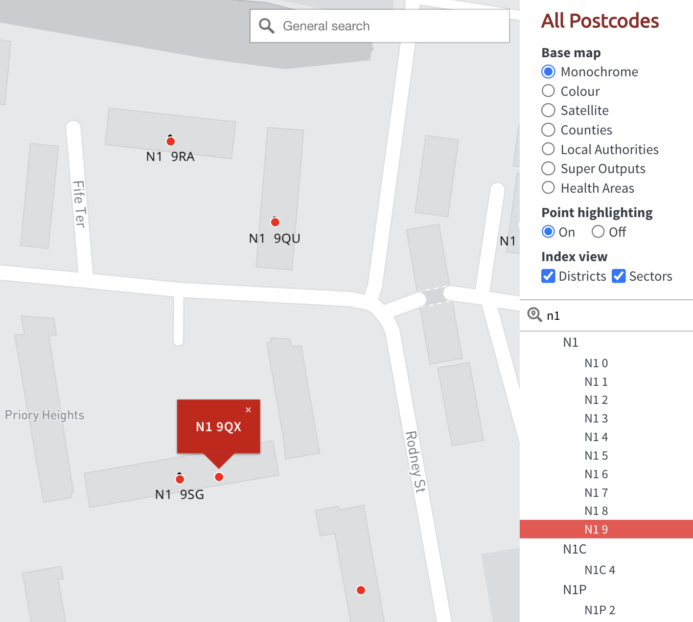
Zoom preview showing full area of coverage (low-resolution)


Pan to zoom / click or tap to switch
Examples of styling in the zoom previews are included as ready to use high-resolution PDF files in the download package. You can edit all colours, fonts and other elements using Adobe Illustrator or other SVG editing software.
This superb value downloadable map bundle covers all the postcode districts in Greater London, shown in context with the London boroughs, post towns, major roads and surrounding counties. Five PDF styles are included, which you can use royalty-free either as they are or as a starting point for editing in Adobe Illustrator or other vector graphics software. It comes bundled with free access to dynamic postcodes and mapping tools.
With easily selectable areas and all the labels in live, editable fonts, you can quickly change colours and scaling to suit your needs, such as colouring up different postcode districts in London to show salesforce coverage or delivery charges by postcode. The vector base and PDFs are fully scalable so you can zoom in and out without loss of resolution.
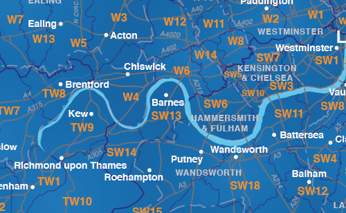
London postcode districts overlaid with London boroughs
By popular demand, we have included approximate London borough boundaries on this postcodes map, plus the edges of the surrounding Home Counties. Royal Mail does not always follow borough or county boundaries with its postcode divisions, but our customers have told us that it helps to see the approximate shape of the London boroughs and also the Home Counties when using the postcodes map for planning purposes.

Bundled with free 7-day access to our dynamic postcode mapping tools
On a separate (non-downloadable) system, you can edit London postcodes online with the free bundled dynamic postcode mapping tools. Zoom down to street level, colour and caption London postcodes, get population and demographic info, feed in your own data and more.
Specifications
Price £30.00
Product code: MR143
Licensing terms
This editable map base is suitable for commercial and professional uses
See standard royalty free terms for downloadable maps
How to edit
Adobe Illustrator, CorelDRAW, PDF editors etc
See how to edit the downloadable maps
Recommended scaling
A3 and bigger, or zoomed areas or tiles
For more guidance see scaling recommendations
Access to Dynamic Mapping Suite
A 7-Day Full Pass for the Dynamic Mapping Suite is bundled with this map. The Dynamic Mapping Suite is a separate system that includes a set of online mapping tools geared to visualising data for UK administrative areas.
Vector map layers in Illustrator
You may also like…
-
Best UK postcodes map with all the postcode districts, post towns and major roads
£75.00Our most detailed downloadable single-image UK postcodes map at a bargain price. Shows all the 4-digit postcode districts in context with post towns, major roads and counties. Five styles are included, or you can use your own colours and fonts.
PDFsSVGLayered AI file -

Supersize map of Greater London postcode districts with full road network
£75.00Editable postcodes artwork scaled at 4.3 x 3.8 metres in its opening state. The full road network of Greater London is the backdrop, with major road names legible at large-scale printing.
PDFsLayered AI file -

Best maps of central London postcode districts – W1, WC, EC – including street names
£25.00See the road names and other street level details of London’s densely packed W1, WC and EC postcode districts overlaid with clear labels, district boundaries and underlying polygons for colour editing.
PDFSVGLayered AI file -
UK postcode maps for easy A4 printing – FULL SET with 126 maps
£125.00Full set of the “A” format postcode district maps – 126 maps in total at a huge discount.
PDFs