
Showing all 7 results
-
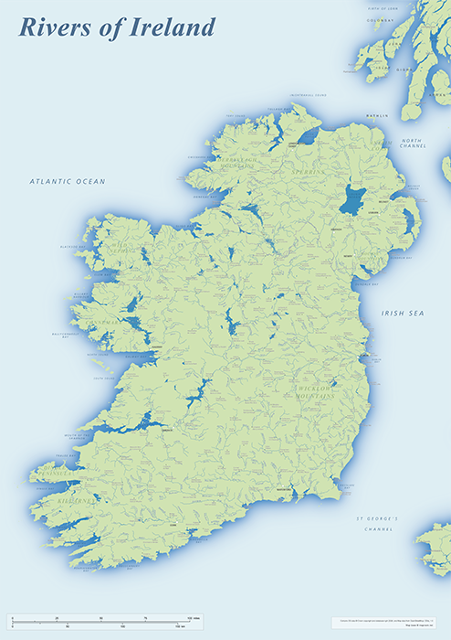
Rivers of Ireland map
£40.00An editable and scalable map of Ireland’s rivers, with towns and natural features for context. Designed for A1+ printing or editing for other uses.
PDFSVGLayered AI file -
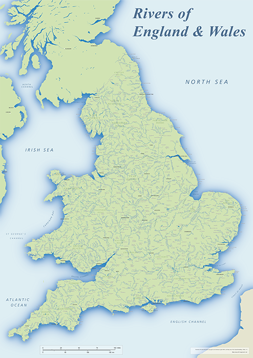
Rivers of England & Wales map
£40.00An editable and scalable map focusing on the rivers of England and Wales, with towns and natural features for context. Designed for A1+ printing or editing for other uses.
PDFSVGLayered AI file -
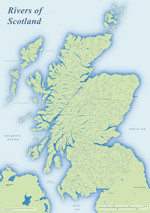
Rivers of Scotland map
£40.00An editable and scalable map of Scotland’s rivers, with towns and natural features for context. Designed for A1+ printing or editing for other uses.
PDFSVGLayered AI file -
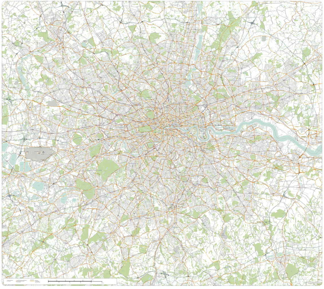
Greater London detailed map with all roads, transport, institutions, green areas
£150.00Detailed vector map of the whole of Greater London – all roads, stations, airports, rivers, green areas. A fantastic resource for professional designers and commercial projects. Provided in 2 versions for different scaling needs.
PDFsSVGLayered AI file -

Supersize map of Greater London postcode districts with full road network
£75.00Editable postcodes artwork scaled at 4.3 x 3.8 metres in its opening state. The full road network of Greater London is the backdrop, with major road names legible at large-scale printing.
PDFsLayered AI file -
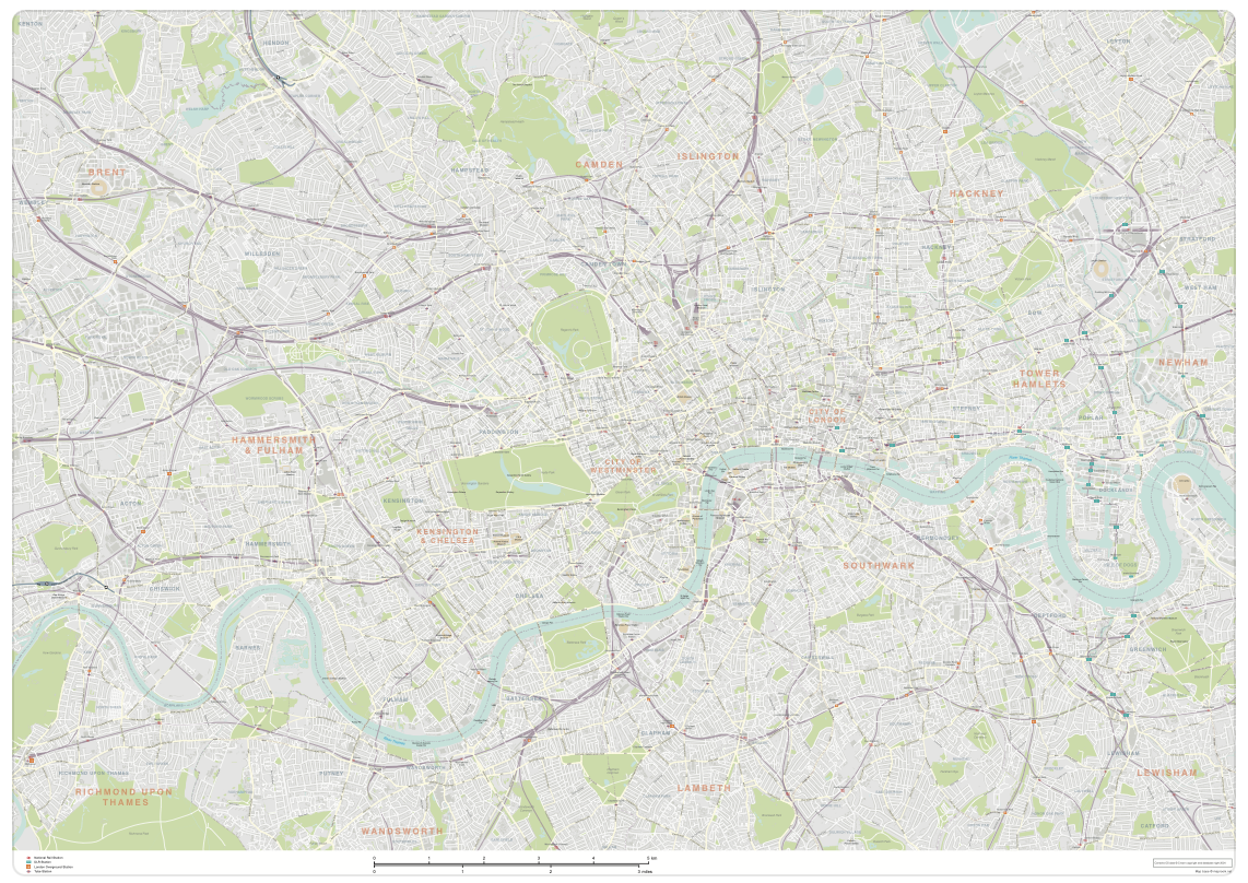
London map with roads, buildings, districts, boroughs, transport, landmarks
£100.00A superb general purpose editable map of London, with a wealth of detail including buildings, roads, railway lines, train stations, borough boundaries, rivers, canals, parks and landmarks
PDFsLayered AI file -
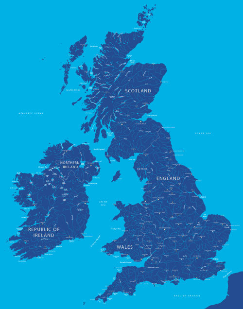
Maps of British and Irish rivers and lakes
£80.0010,000 rivers and canals, plus about 1,000 lakes, lochs and loughs of Britain and Ireland. Good for educational materials and water-activity themes.
PDFsSVGLayered AI file