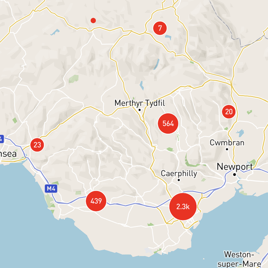
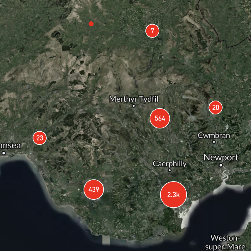
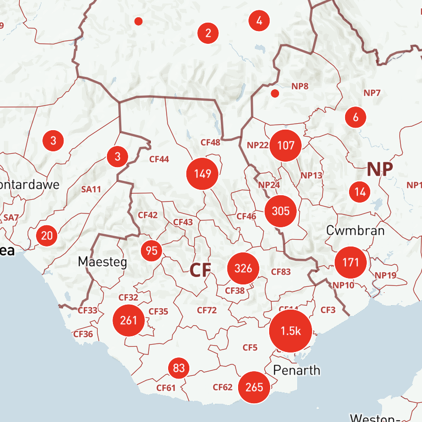
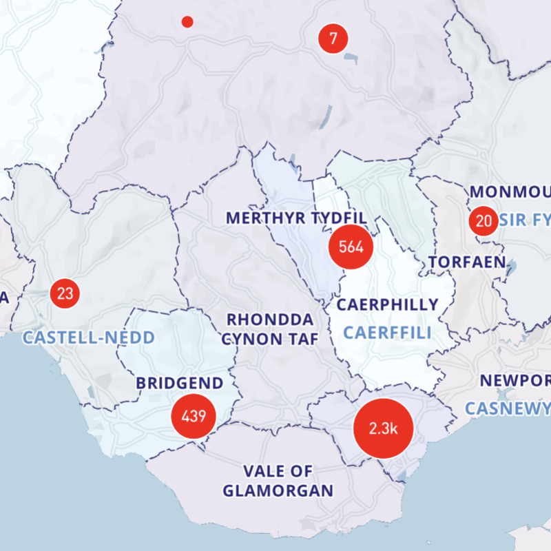
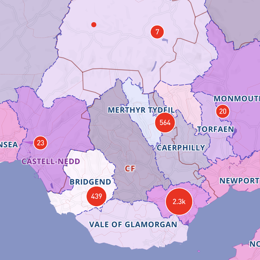
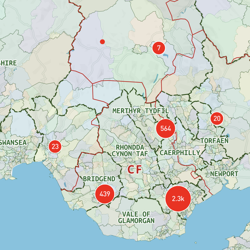
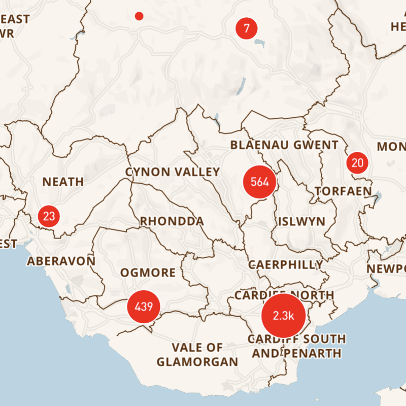
Our Bulk Postcodes tool in the Locations Plotter in the Dynamic Mapping Suite lets you plot hundreds or even thousands of postcodes in a batch. The tool is brilliantly easy to use: simply copy your list of postcodes (one per line) into the +Bulk Add Postcodes box, and they will be plotted within seconds as you watch. There’s a choice of backdrops including monochrome, colour, satellite, postcode boundaries, counties, local authorities, and constituencies. Every point and every listing is automatically interactive.
Click on the interactive clusters or side listings to zoom in!
The screenshots below show the same Cardiff postcodes plotted on different base maps.

