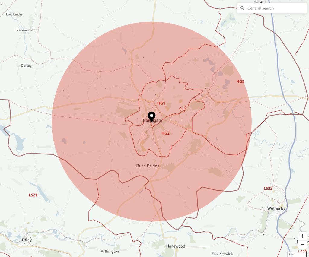
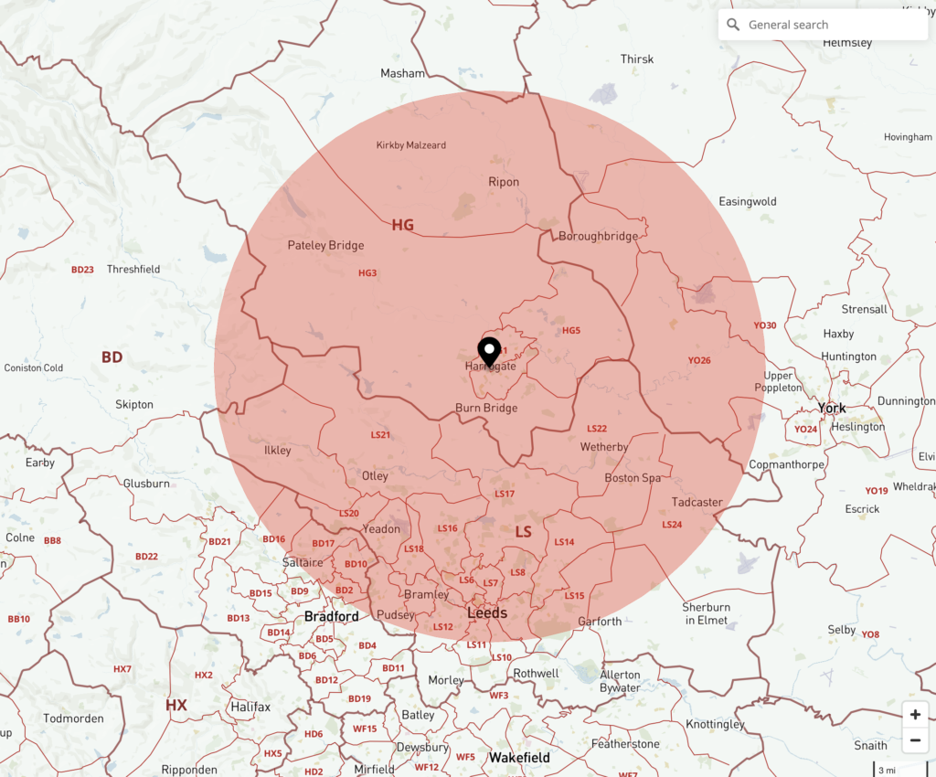
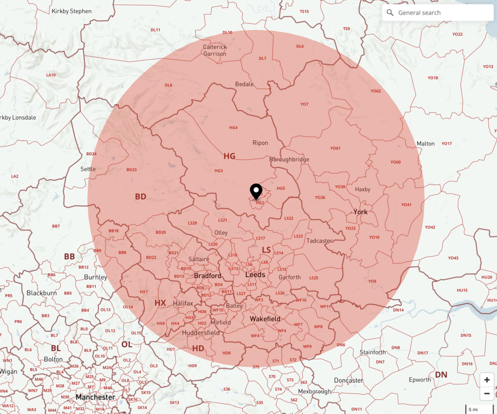
A common need for businesses is to work out 360-degree areas of coverage around business locations. There is no need to get involved with tricky calculations and specialist software, nor to fiddle round with rulers, string and compasses over a paper map! We have created a nifty Radius Plotter tool inside our Dynamic Mapping Suite. You can navigate to or search for any postcode or address then click it to highlight a radius around it, and save in, literally, seconds. Switch between different backgrounds including postcode boundaries, counties, local authorities, London congestion and ULEZ zones, super output areas, standard street and satellite maps. Our radius plotter is a great tool for market research.
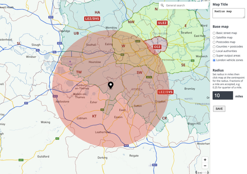
Switch between base maps
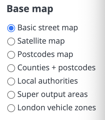
The tool opens with a basic street map, but you can toggle between any of our base maps such as postcodes, satellite, counties, local authorities, super output areas or vehicle zones.
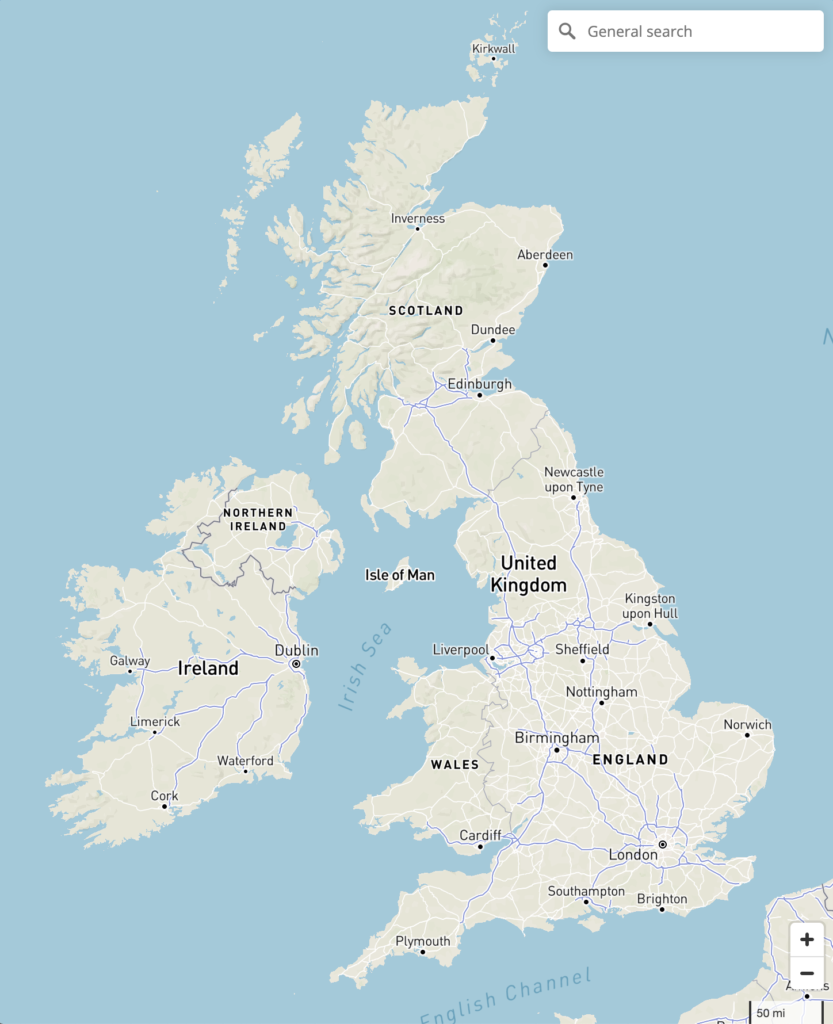

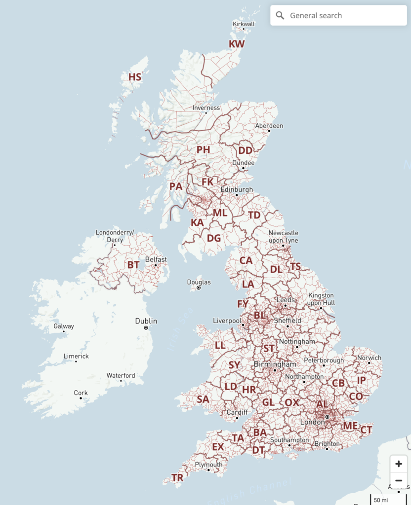
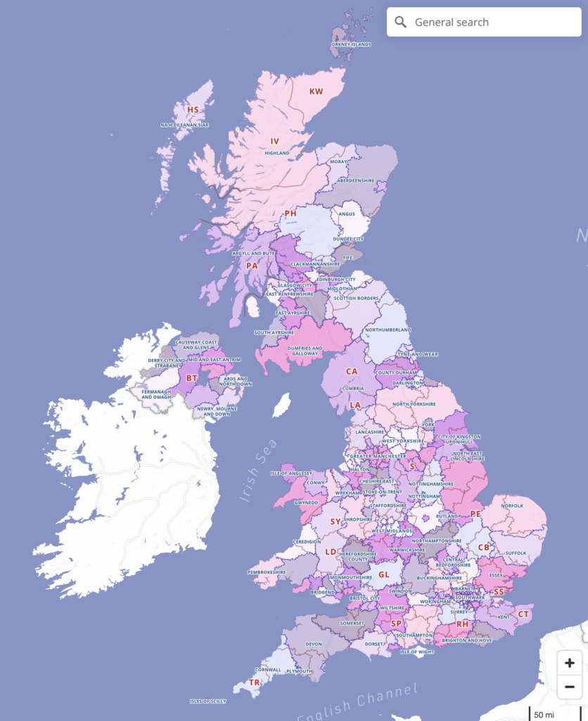
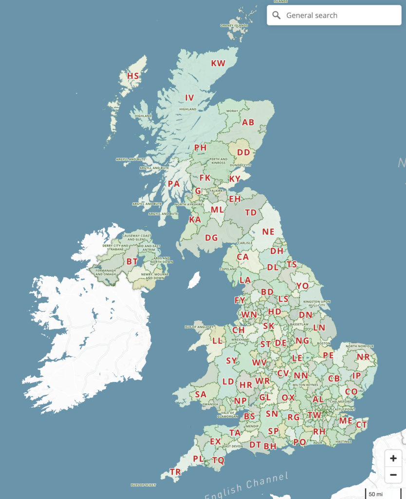
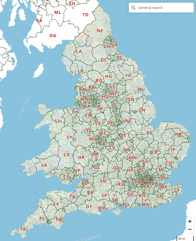
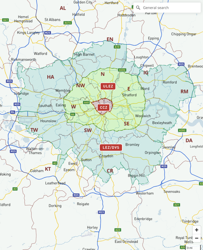

You can make as many radius maps as you want for reference.
Bespoke services for advanced radius plotting
The point-and-click Radius Plotter is a standard tool for passholders in the Dynamic Mapping Suite. Try it. But if you need more complex radius mapping, such as multiple radii or auto-calculations based on radii, please contact us.