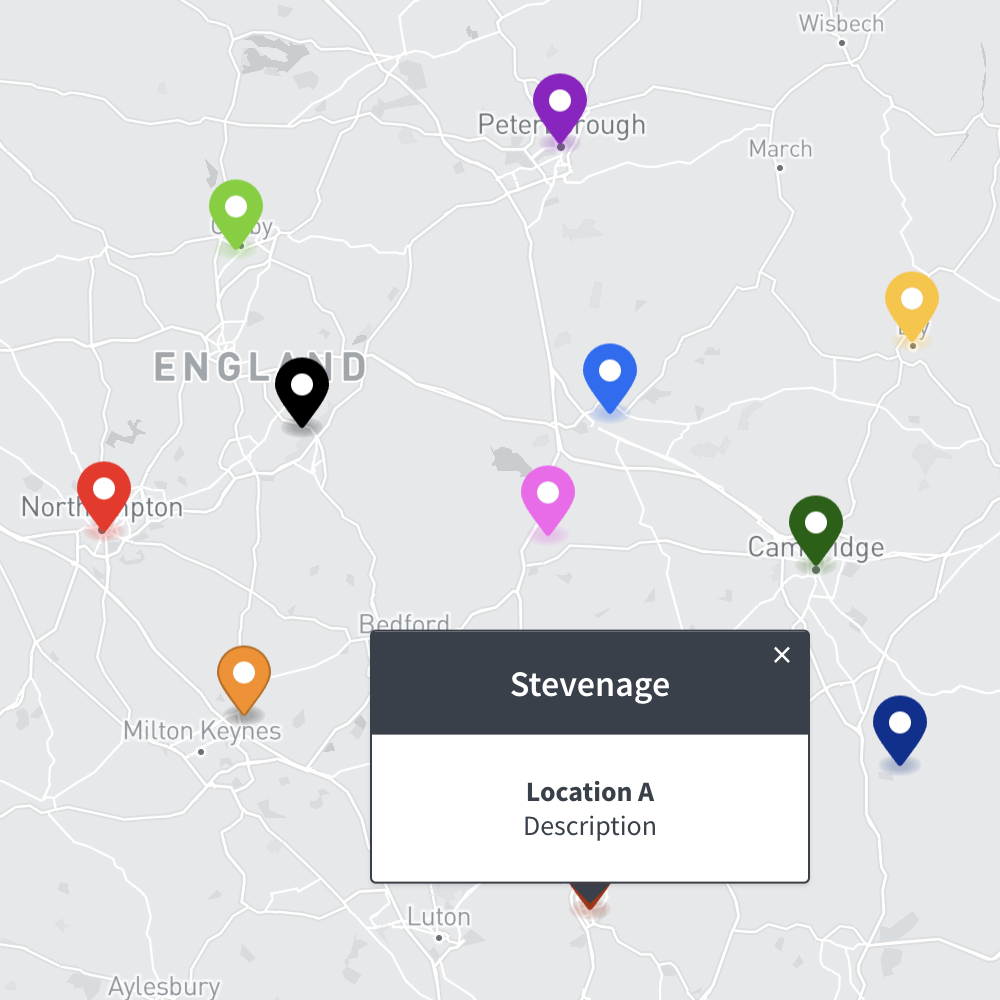
Maproom

Editable & interactive maps

MENUMENU
  • about
  • news
  • contact
  • 0 items
LOGIN
    • Home
  • Britain & Ireland maps
    • Britain and Ireland
    • UK - United Kingdom
    • Ireland
    • England
    • Scotland
    • Wales
    • Northern Ireland
    • Isle of Man
    • Channel Islands
  • City maps
    • Birmingham
    • Brighton
    • Bristol
    • Cardiff
    • Edinburgh
    • Glasgow
    • Liverpool
    • London
    • Manchester
    • Oxford
  • Postcode maps
    • Overview
    • Online postcode mapping tools
    • Downloadable postcode maps
  • Boundary & transport maps
    • Boundary and ONS maps
    • Local authority maps
    • County maps
    • Transport maps
  • World maps
    • World maps
    • Europe maps
    • Map of EU countries 2023
    • Maps of France
    • Maps of Germany
    • Maps of New York and environs
  • DYNAMIC
    • Showcase
    • Dynamic Mapping Suite information and demos
    • GET A PASS
  • BESPOKE
    • Bespoke mapping services
    • Bespoke static maps
    • Bespoke dynamic maps
    • Search

DYNAMIC MAPPING SUITE INFORMATION

  • Introduction
  • Dynamic UK Business Reference Maps
  • Point-and-Click Mapping Tools
  • Mapping from Spreadsheets
  • GET A PASS
  • LOGIN

Samples & Demos

  • Spreadsheets to Polygons
  • Locations Plotter
  • Quick Select Postcodes
  • Bulk Postcodes Plotter
  • Radius Plotter
  • Postcode Units at Street Level with Census Data
  • Clean Air Zones / ULEZ / Low Emission + Postcodes + Live Traffic Planning Aids

Point-and-Click Mapping Tools

This image has an empty alt attribute; its file name is Quick-Locations-Plotter-image.png
LOCATIONS PLOTTER

Plot interactive location markers with captions on a choice of map bases
See examples

This image has an empty alt attribute; its file name is Quick-Select-Postcodes.png
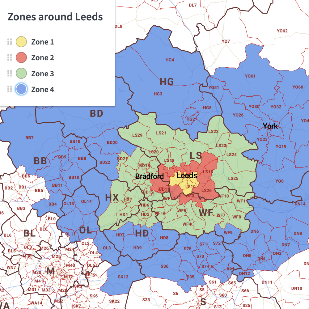
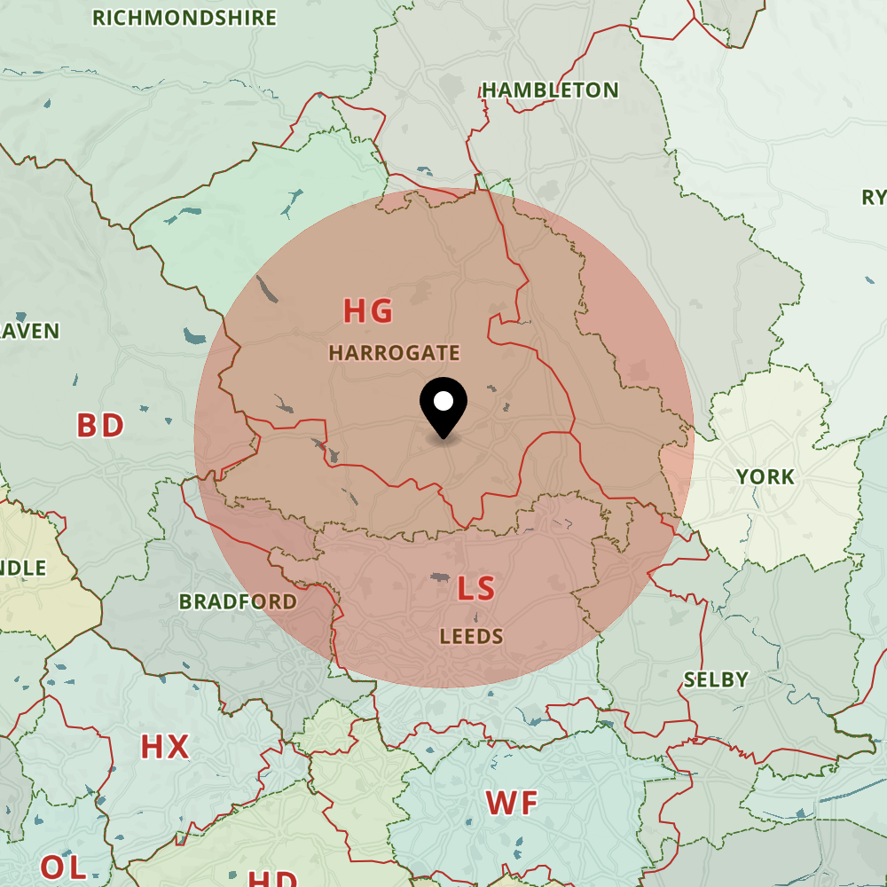
QUICK SELECT POSTCODES

Colour postcode areas and districts simply by selecting colours and clicking on the map
Try demo

This image has an empty alt attribute; its file name is Quick-Radius-Plotter.png
RADIUS PLOTTER

Incredibly easy way to plot a radius on a choice of map bases
See how it works

Access the Dynamic Mapping Suite for £35

ACCESS NOW

You will have full access to all the dynamic maps and mapping tools for one calendar month

Or see longer term passes

  • Standard royalty free terms for downloadable maps
  • Licensing terms for downloadable postcode maps
  • Licensing terms for dynamic online maps
  • How to edit the downloadable maps
  • Pricing & refund policies
  • Privacy & cookies
  • Maproom on Twitter

All content © Maproom at Thameside Media · Award winning media projects