Open map in full screen (recommended)
This is a beautiful, minimalist style map base with custom icons, which Maproom has built for an organisation representing churches dedicated to St Laurence.
It may look like a static image on opening, but the listings and map points are all interactive.
Points are clustered with numbers at high views, allowing for step down levels to see more and more churches the deeper you zoom.
Tap on either the panel listings or the church icons for pop-up boxes with pictures of the churches.

There is also a “find my location” button at the bottom right of the map that will – on permission – identify the user’s location within the map.
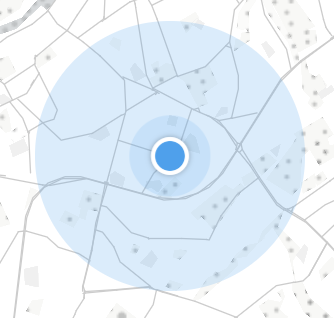
Note: the accuracy of the “find my location” feature depends on the user’s device and type of internet connection (usually accurate within a few hundred metres; but never as accurate as a SatNav). Not all browsers support this feature, and some users may disable it. If user location support is not available from the user’s equipment, the “find my location” button will show as disabled.
This map’s interactivity is built with a combination of spreadsheet feed for the listings and point clusters, and a vector dataset with church icons and names loading as part of the base map style itself. The interplay of both data sources comes into its own when the user is searching for information both alphabetically and geographically.