Brighton and Hove Street Map
Downloadable royalty free vector artwork High-resolution PDFsSVGLayered Adobe Illustrator filePrice £60.00
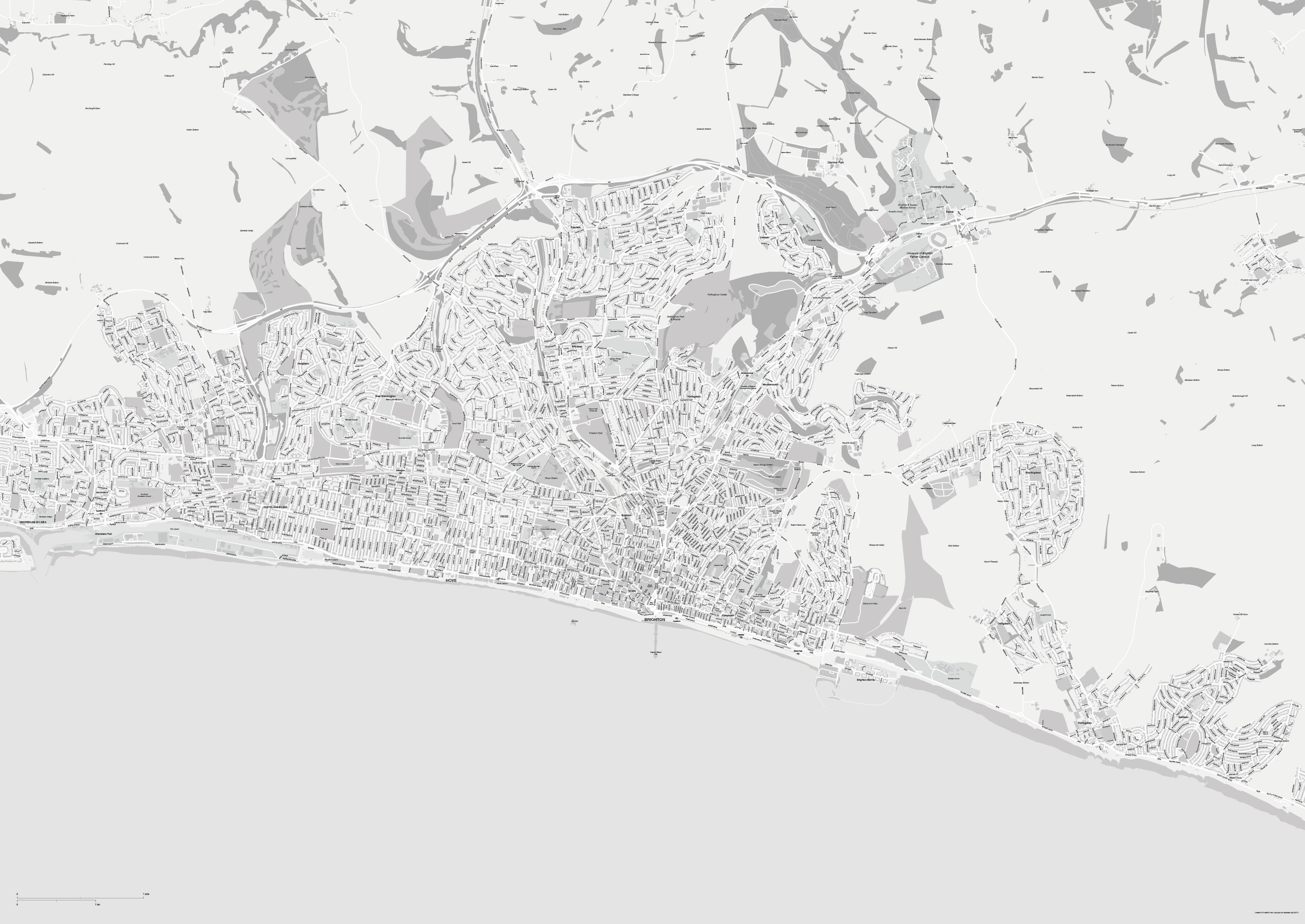
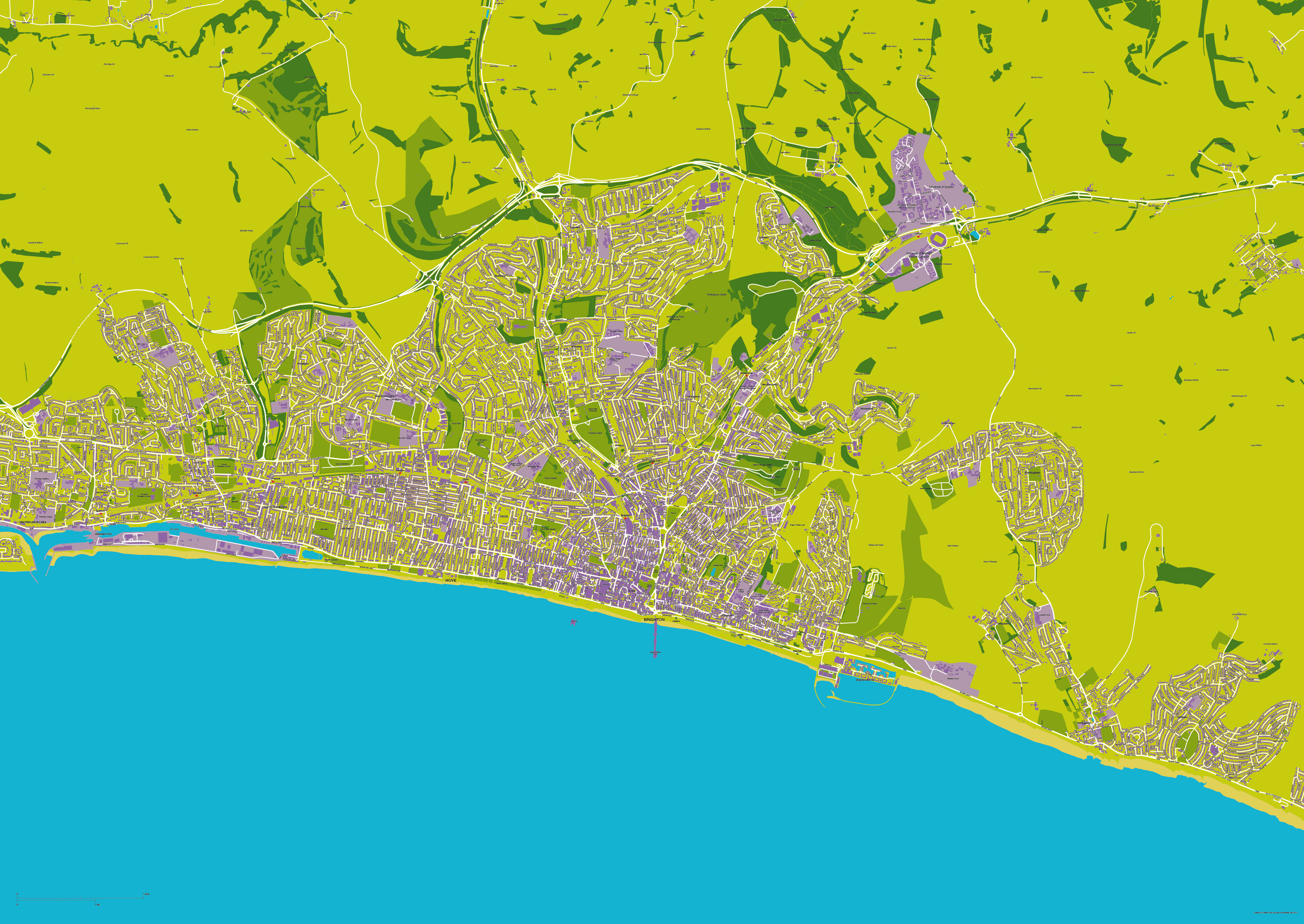
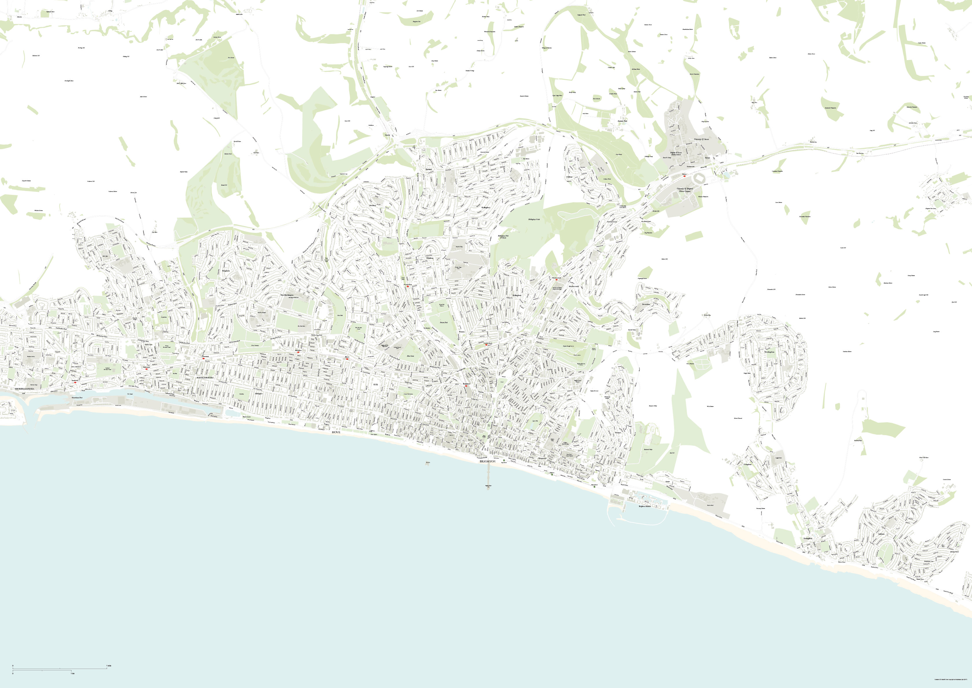
Zoom preview showing full area of coverage (low-resolution)

Pan to zoom / click or tap to switch
Examples of styling in the zoom previews are included as ready to use high-resolution PDF files in the download package. You can edit all colours, fonts and other elements using Adobe Illustrator or other SVG editing software.
This is a highly detailed street map of Brighton and Hove suitable for graphic designers and mapmakers who want a good editable vector artwork map base for a variety of commercial and professional purposes. Purchase this map base once on royalty-free terms and use it for any purpose from posters to PDFs and web images. The download bundle includes raw Adobe Illustrator files (CC and CS versions), SVG and example PDFs and JPEGs, any of which can be used as a starting point for your map.
Our editable Brighton and Hove map base includes a lot of environs, extending west to Shoreham-by-Sea, north of the A27 to the Downs, and east to Saltdean. There is a superb amount of detail over this large area, including all roads, railways and stations, building shapes, green areas and water. The most versatile files in the download bundle are the layered Illustrator PDF examples in different colours which can be used off the peg or edited in Illustrator, with the possibility to zoom them in to any level without loss of resolution. See the colour examples in the zoom previews here, all of which are included in the download bundle. (Note that the zoom depth is limited here by the size of image that can be uploaded to a web page – the PDFs allow for limitless zoom as seen in the images below.)
Some example JPEGs are also included, including high-res JPEGs. An SVG version is suitable for developers needing the artwork in the form of code coordinates.


Editing the Brighton and Hove base map
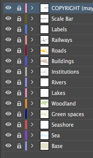
Although example styles are included in the map download bundle, there is no limit to the ways in which you can change the colours and style of every element using advanced vector artwork editing software such as Adobe Illustrator. Everything from road names to rivers is a live vector path, which means you can change the text and scale elements individually. All text is a live font (Helvetica), not outlined, which means you can do a global font change and finely tuned customisations very easily. Add your own landmarks and labels, turn whole layers off, or select a layer and change the look of it within a few seconds. For more information about editing the Brighton and Hove map base see How to Customize.

Professional and commercial terms for the Brighton and Hove base map
All our base maps are sold on a royalty-free basis, which means you can manipulate and use the Brighton and Hove map for a wide range of professional and commercial output, including merchandise, printed publications and TV graphics, without incurring extra fees for size of print run or number of projects the map is used in. The Brighton and Hove map includes Ordnance Survey open data, and the OS copyright notice included with the artwork must be retained and displayed on or easily found with the final output of the map. For the full license wording see Royalty Free Terms.
Specifications
Licensing terms
This editable map base is suitable for commercial and professional uses
See standard royalty free terms for downloadable maps
How to edit
Adobe Illustrator, CorelDRAW, PDF editors etc
Vector map layers in Illustrator